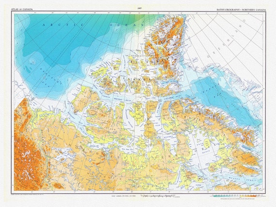
 Canada. Department of Mines and Technical Surveys, Bathy-orography, Northern Canada, 1957, map on heavy cotton canvas, 22x27" approx.
$45.20
Canada. Department of Mines and Technical Surveys, Bathy-orography, Northern Canada, 1957, map on heavy cotton canvas, 22x27" approx.
$45.20
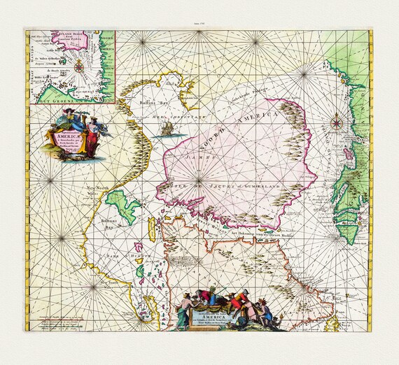 Septemtrionaliora Americæ a Groenlandia, per Freta Davidis et Hudson, ad Terram Novam, 1745, Ottens
$45.20
Septemtrionaliora Americæ a Groenlandia, per Freta Davidis et Hudson, ad Terram Novam, 1745, Ottens
$45.20
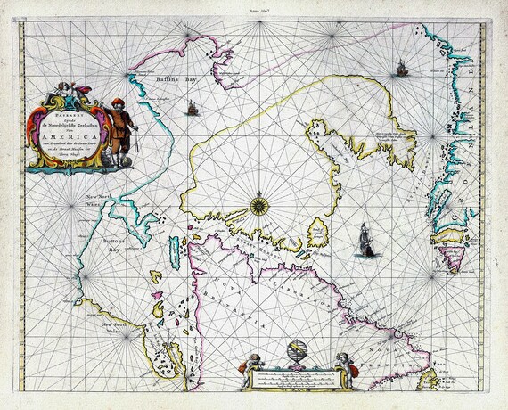 America Nort, 1667, Goos auth., map on heavy cotton canvas, 50 x 70cm, 20 x 25" approx.
$45.20
America Nort, 1667, Goos auth., map on heavy cotton canvas, 50 x 70cm, 20 x 25" approx.
$45.20
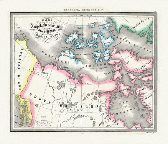 Mari Archipelaghi polari artici dalla Baia d'Hudson all' America Russa, 1858, Marmocchi auth. map on cotton canvas, 20 x 25" approx
$45.20
Mari Archipelaghi polari artici dalla Baia d'Hudson all' America Russa, 1858, Marmocchi auth. map on cotton canvas, 20 x 25" approx
$45.20
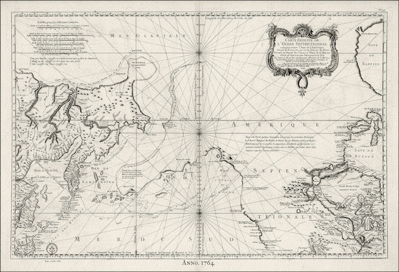
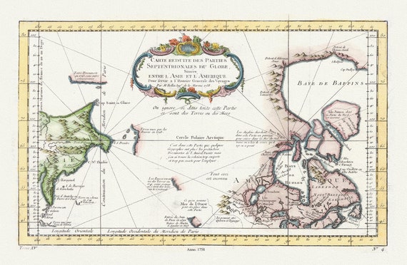 Carte reduite des parties septentrionales du globe, generale des voyages, 1758, Bellin auth., map on heavy cotton canvas,20 x 25" approx.
$45.20
Carte reduite des parties septentrionales du globe, generale des voyages, 1758, Bellin auth., map on heavy cotton canvas,20 x 25" approx.
$45.20
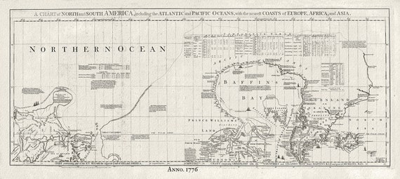 Baffin Bay, Canada, 1776 Jefferys auth., map on heavy cotton canvas, 50 x 70cm, 20 x 25" approx.
$45.20
Baffin Bay, Canada, 1776 Jefferys auth., map on heavy cotton canvas, 50 x 70cm, 20 x 25" approx.
$45.20
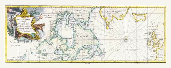 Nouvelle carte des parties, ou lon a cherche le passage de nord-ouest dans les annees 1746 et 1747, Ellis auth. map on canvas, 20 x 25"
$45.20
Nouvelle carte des parties, ou lon a cherche le passage de nord-ouest dans les annees 1746 et 1747, Ellis auth. map on canvas, 20 x 25"
$45.20
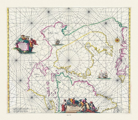 Witt, Septemtrionaliora Americae a Groenlandia, per Freta Davidis et Hudson, etc., 1765, map on heavy cotton canvas, 20 x 25" approx.
$45.20
Witt, Septemtrionaliora Americae a Groenlandia, per Freta Davidis et Hudson, etc., 1765, map on heavy cotton canvas, 20 x 25" approx.
$45.20
 Pacific NorthWest, Canada 1764 Ver.II, Bellin auth., map on heavy cotton canvas, 50 x 70cm, 20 x 25" approx.
$45.20
Pacific NorthWest, Canada 1764 Ver.II, Bellin auth., map on heavy cotton canvas, 50 x 70cm, 20 x 25" approx.
$45.20
 Davis Strait, 1755, Bellin auth., map on heavy cotton canvas, 50 x 70cm, 20 x 25" approx.
$45.20
Davis Strait, 1755, Bellin auth., map on heavy cotton canvas, 50 x 70cm, 20 x 25" approx.
$45.20
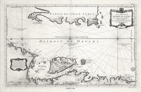
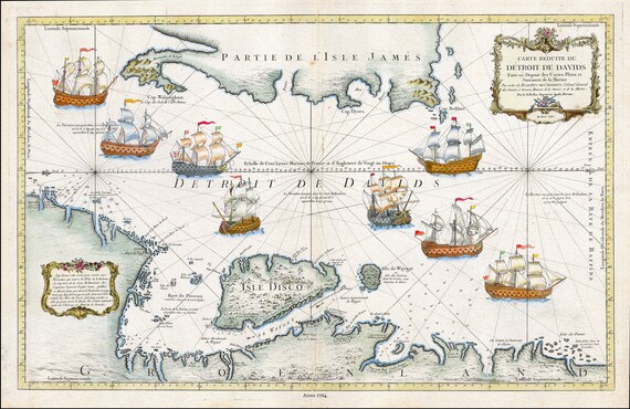 Detroit de Davids (Davis Strait), 1764. Bellin auth.
$45.20
Detroit de Davids (Davis Strait), 1764. Bellin auth.
$45.20
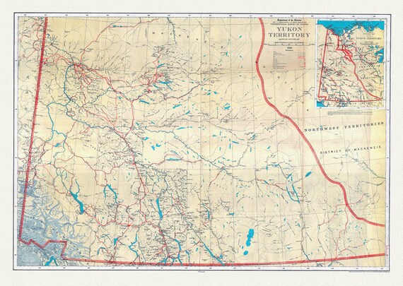 Yukon Territory, South of Latitude 65 degrees ,1936, map on durable cotton canvas, 50 x 70 cm, 20 x 25" approx.
$45.20
Yukon Territory, South of Latitude 65 degrees ,1936, map on durable cotton canvas, 50 x 70 cm, 20 x 25" approx.
$45.20
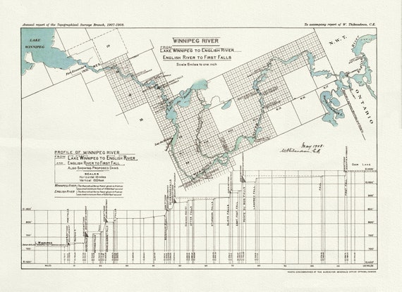 Winnipeg River from Lake Winnipeg to English River, English River to First Falls, 1908 , map on heavy cotton canvas, 22x27" approx.
$45.20
Winnipeg River from Lake Winnipeg to English River, English River to First Falls, 1908 , map on heavy cotton canvas, 22x27" approx.
$45.20
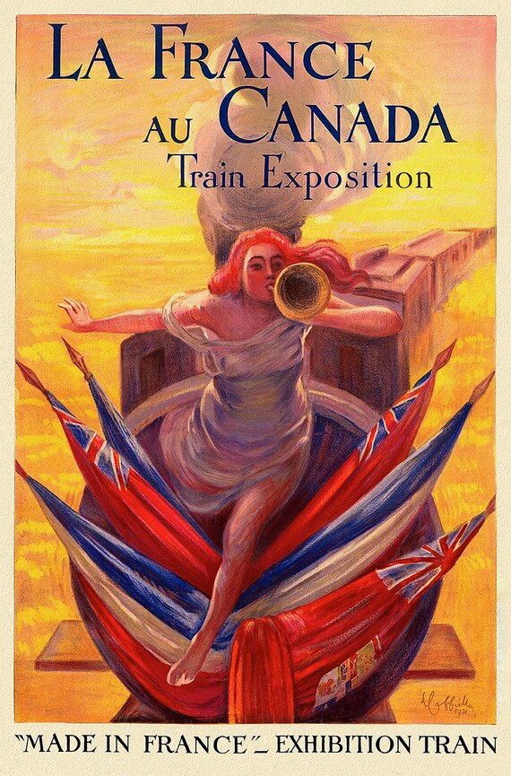 La France au Canada, 1914, Print on Canvas, 19 x 25" approx.
$45.20
La France au Canada, 1914, Print on Canvas, 19 x 25" approx.
$45.20
 Canadian Pacific Railway Co. shewing Land Grants in Mainline Belt, South Western Saskatchewan & South Eastern Alberta, 1909, 14x36"
$48.97
Canadian Pacific Railway Co. shewing Land Grants in Mainline Belt, South Western Saskatchewan & South Eastern Alberta, 1909, 14x36"
$48.97
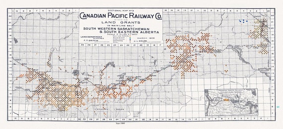 Canadian Pacific Railway Co. shewing Land Grants in Mainline Belt, South Western Saskatchewan & South Eastern Alberta, 1909, 14 x 36" approx
$48.97
Canadian Pacific Railway Co. shewing Land Grants in Mainline Belt, South Western Saskatchewan & South Eastern Alberta, 1909, 14 x 36" approx
$48.97
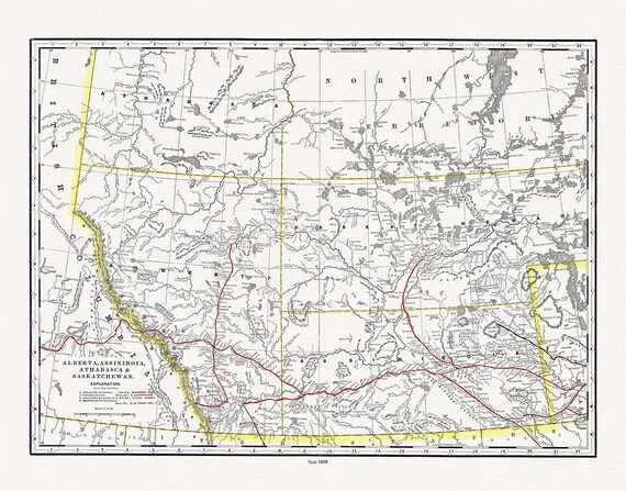 Alberta, Assiniboia, Athabasca & Saskatchewan, North West Territories, 1898 , map on heavy cotton canvas, 45 x 65 cm, 18 x 24" approx.
$45.20
Alberta, Assiniboia, Athabasca & Saskatchewan, North West Territories, 1898 , map on heavy cotton canvas, 45 x 65 cm, 18 x 24" approx.
$45.20
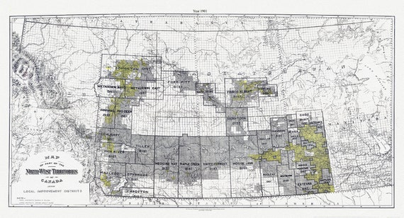 A Map of part of the North-West Territories of Canada, showing local improvement districts, 1901
$45.20
A Map of part of the North-West Territories of Canada, showing local improvement districts, 1901
$45.20
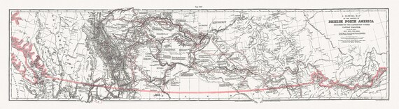 General Map of the Routes in North America Explored by Captain Palliser, during the years 1857, 1858, 1859,& 1860 ' on canvas 18 x 24" about
$45.20
General Map of the Routes in North America Explored by Captain Palliser, during the years 1857, 1858, 1859,& 1860 ' on canvas 18 x 24" about
$45.20
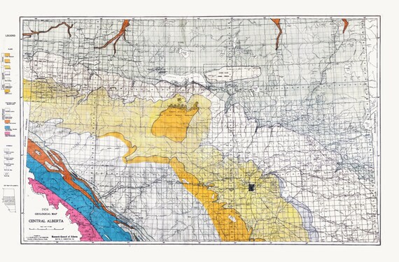 Geological Map, Central Alberta, 1934, , map on heavy cotton canvas, 22x27" approx.
$45.20
Geological Map, Central Alberta, 1934, , map on heavy cotton canvas, 22x27" approx.
$45.20