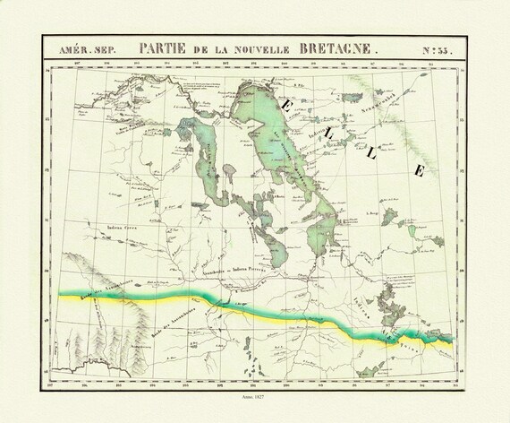
 Vandermaelen, Partie, Nouvelle Bretagne (Manitoba, Lake Winnipeg), 1827 , map on heavy cotton canvas, 22x27" approx.
$45.20
Vandermaelen, Partie, Nouvelle Bretagne (Manitoba, Lake Winnipeg), 1827 , map on heavy cotton canvas, 22x27" approx.
$45.20
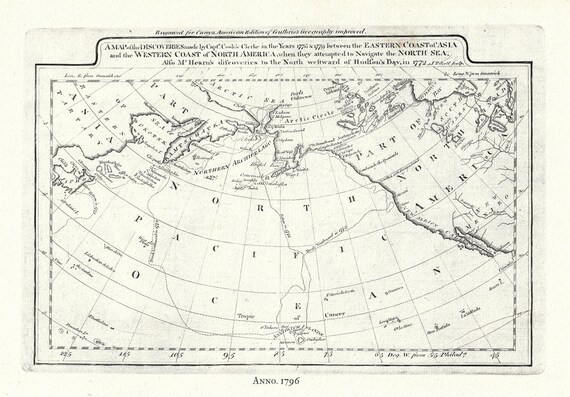 Captain Cook's Voyages in the Pacific Northwest, map on heavy cotton canvas, 50 x 70cm, 20 x 25" approx.
$45.20
Captain Cook's Voyages in the Pacific Northwest, map on heavy cotton canvas, 50 x 70cm, 20 x 25" approx.
$45.20
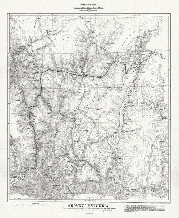 Map of portion of Southern Interior of British Columbia ,the explorations in 1877, Dawson, , map on heavy cotton canvas, 20 x 25" approx.
$45.20
Map of portion of Southern Interior of British Columbia ,the explorations in 1877, Dawson, , map on heavy cotton canvas, 20 x 25" approx.
$45.20
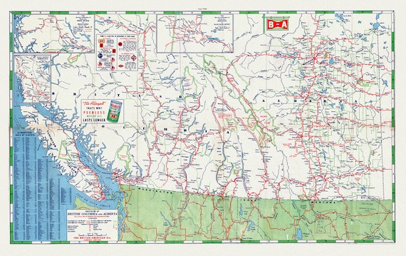 Road Map of the Provinces of British Columbia and Alberta, 1940 , map on heavy cotton canvas, 22x27" approx.
$45.20
Road Map of the Provinces of British Columbia and Alberta, 1940 , map on heavy cotton canvas, 22x27" approx.
$45.20
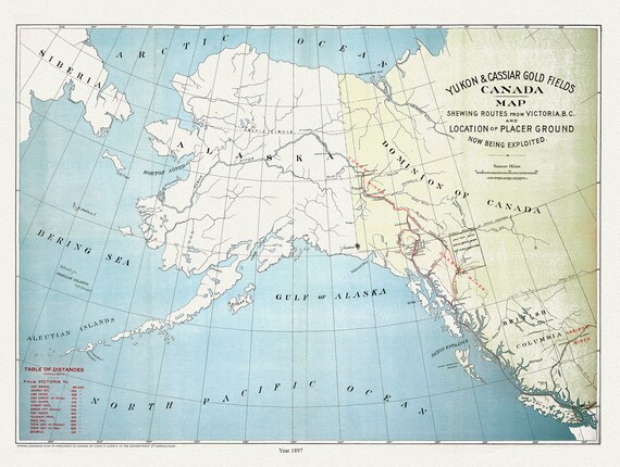 Yukon and Cassiar Gold Fields Canada Map Shewing Routes from Victoria B.C. and Location of Placer Ground Now Being Exploited, 1897, 20 x 25"
$45.20
Yukon and Cassiar Gold Fields Canada Map Shewing Routes from Victoria B.C. and Location of Placer Ground Now Being Exploited, 1897, 20 x 25"
$45.20
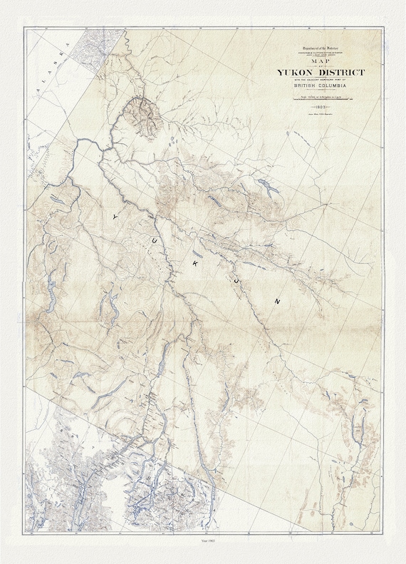 Map of Yukon District with the adjacent northern part of British Columbia, 1903, map on durable cotton canvas, 50 x 70 cm, 20 x 25" approx.
$45.20
Map of Yukon District with the adjacent northern part of British Columbia, 1903, map on durable cotton canvas, 50 x 70 cm, 20 x 25" approx.
$45.20
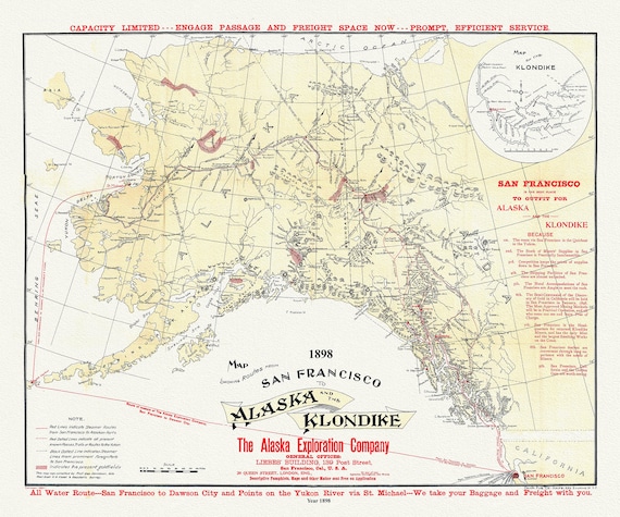 Map Showing Routes From San Francisco To Alaska And The Klondike, Alaska Exploration Company, 1898
$45.20
Map Showing Routes From San Francisco To Alaska And The Klondike, Alaska Exploration Company, 1898
$45.20
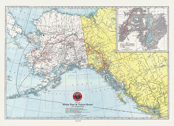 Map of White Pass & Yukon Route and connections, 1915 , map on durable cotton canvas, 50 x 70 cm, 20 x 25" approx.
$45.20
Map of White Pass & Yukon Route and connections, 1915 , map on durable cotton canvas, 50 x 70 cm, 20 x 25" approx.
$45.20
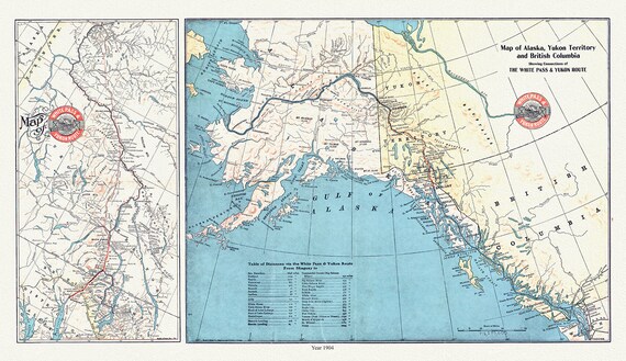 Map of Alaska, Yukon Territory and British Columbia showing connections of the White Pass and Yukon route, 1904 , 20 x 25" approx.
$45.20
Map of Alaska, Yukon Territory and British Columbia showing connections of the White Pass and Yukon route, 1904 , 20 x 25" approx.
$45.20
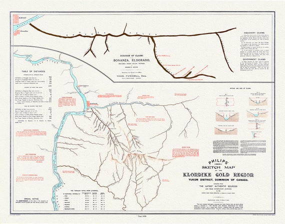 Klondike gold region, Yukon district, Dominion of Canada by the Klondyke Parent Pioneer Corporation, 1898,' 50 x 70 cm, 20 x 25" approx.
$45.20
Klondike gold region, Yukon district, Dominion of Canada by the Klondyke Parent Pioneer Corporation, 1898,' 50 x 70 cm, 20 x 25" approx.
$45.20
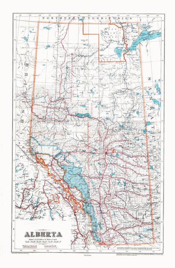 Alberta, 1948 , map on heavy cotton canvas, 22x27" approx.
$45.20
Alberta, 1948 , map on heavy cotton canvas, 22x27" approx.
$45.20
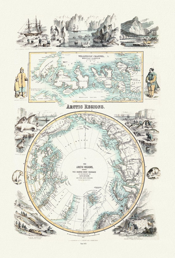 Fullarton, Arctic Regions, 1872, map on heavy cotton canvas, 22x27" approx.
$45.20
Fullarton, Arctic Regions, 1872, map on heavy cotton canvas, 22x27" approx.
$45.20
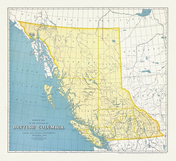 British Columbia, A Sketch Map, 1899, map on heavy cotton canvas, 50 x 70cm, 20 x 25" approx.
$45.20
British Columbia, A Sketch Map, 1899, map on heavy cotton canvas, 50 x 70cm, 20 x 25" approx.
$45.20
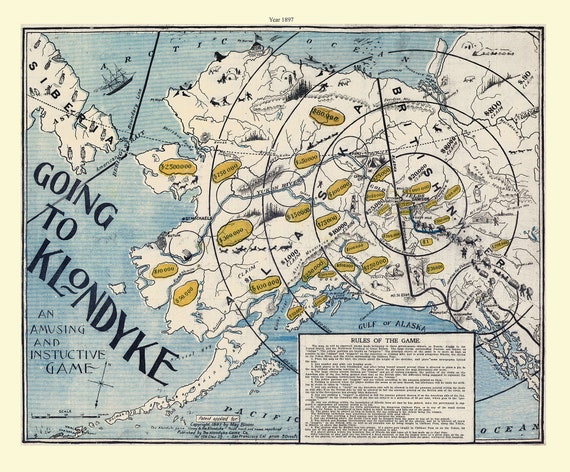 Klondike Game Co., Going to Klondyke, 1897, vintage print on canvas, 50 x 70 cm, 20 x 25" approx.
$45.20
Klondike Game Co., Going to Klondyke, 1897, vintage print on canvas, 50 x 70 cm, 20 x 25" approx.
$45.20
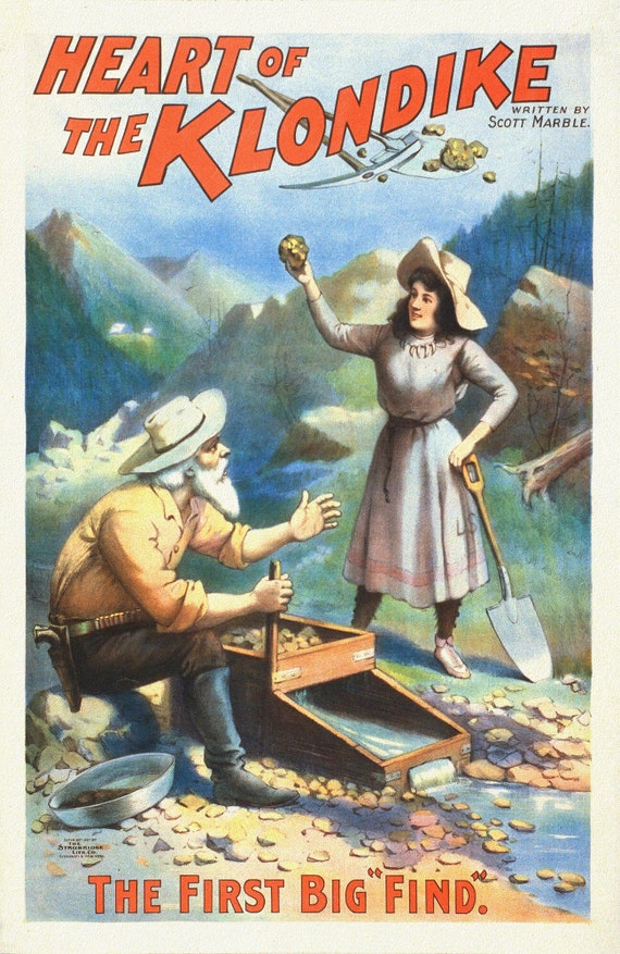 The Heart of the Klondike, The First Big Find, A Book, vintage print on canvas, 50 x 70 cm, 20 x 25" approx.
$45.20
The Heart of the Klondike, The First Big Find, A Book, vintage print on canvas, 50 x 70 cm, 20 x 25" approx.
$45.20
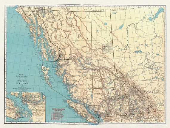 British Columbia, Commercial Atlas, Rand McNally & Company, 1924, map on heavy cotton canvas, 50 x 70cm, 20 x 25" approx.
$45.20
British Columbia, Commercial Atlas, Rand McNally & Company, 1924, map on heavy cotton canvas, 50 x 70cm, 20 x 25" approx.
$45.20
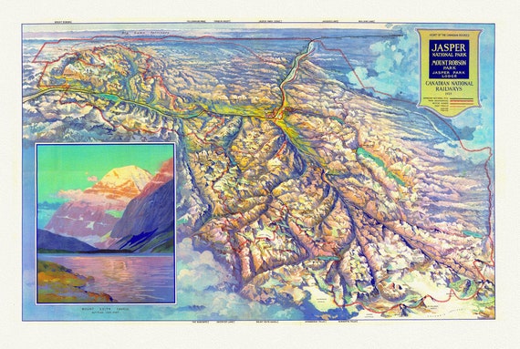 CNR, Pictorial Map of Jasper National Park and Mount Robson Park, 1935
$45.20
CNR, Pictorial Map of Jasper National Park and Mount Robson Park, 1935
$45.20
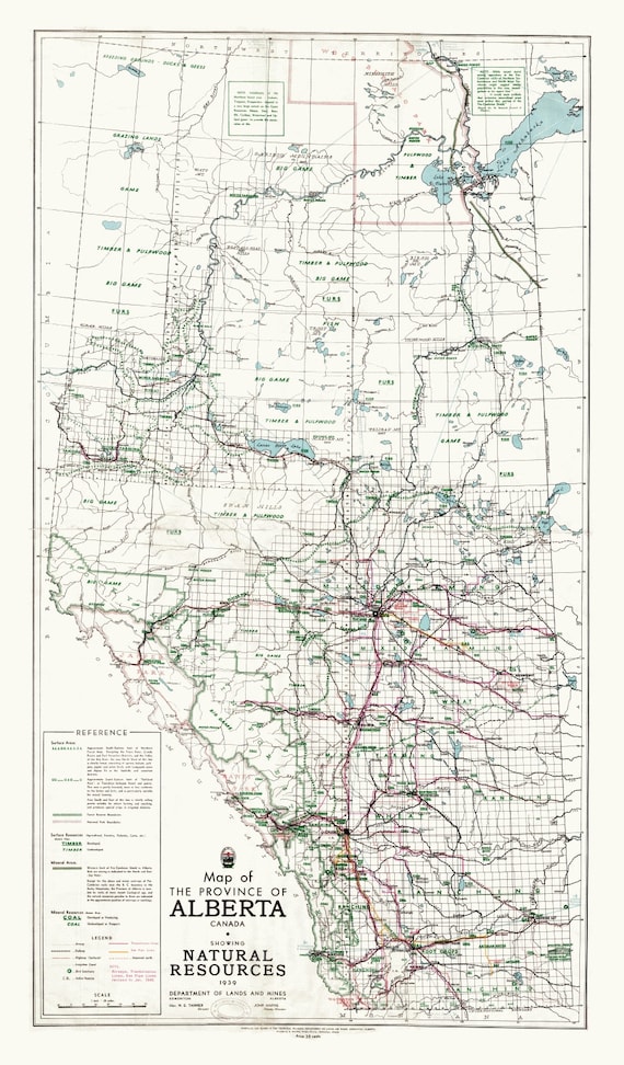 Map of the Province of Alberta, Canada, showing natural resources, 1945 ,on heavy cotton canvas, 22x27" approx.
$45.20
Map of the Province of Alberta, Canada, showing natural resources, 1945 ,on heavy cotton canvas, 22x27" approx.
$45.20
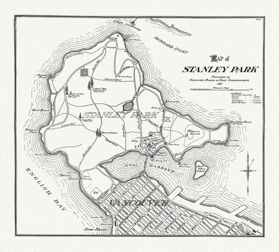 Vancouver, Map of Stanley Park, 1916, map on heavy cotton canvas, 45 x 65 cm, 18 x 24" approx.
$45.20
Vancouver, Map of Stanley Park, 1916, map on heavy cotton canvas, 45 x 65 cm, 18 x 24" approx.
$45.20
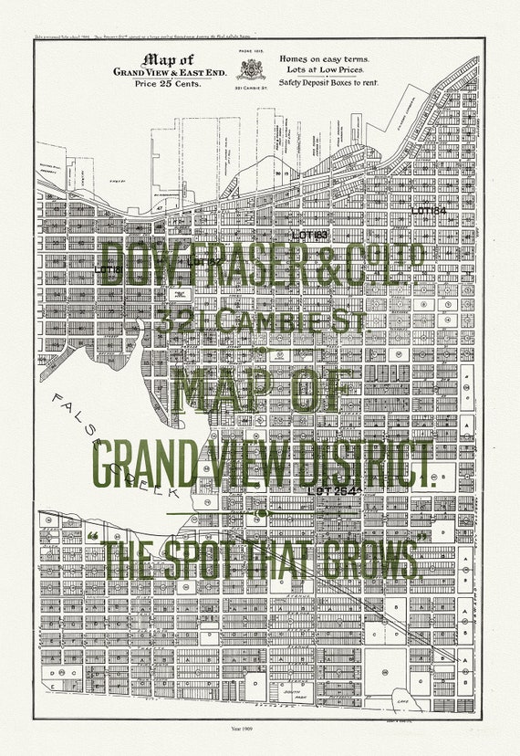 Vancouver, Map of Grandview and East End, 1909, map on heavy cotton canvas, 45 x 65 cm, 18 x 24" approx.
$45.20
Vancouver, Map of Grandview and East End, 1909, map on heavy cotton canvas, 45 x 65 cm, 18 x 24" approx.
$45.20