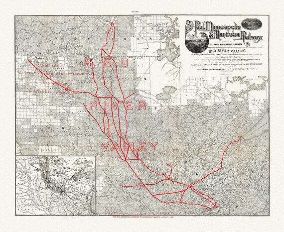
 St. Paul, Minneapolis & Manitoba Railway, 1886 , map on durable cotton canvas, 50 x 70 cm, 20 x 25" approx.
$45.20
St. Paul, Minneapolis & Manitoba Railway, 1886 , map on durable cotton canvas, 50 x 70 cm, 20 x 25" approx.
$45.20
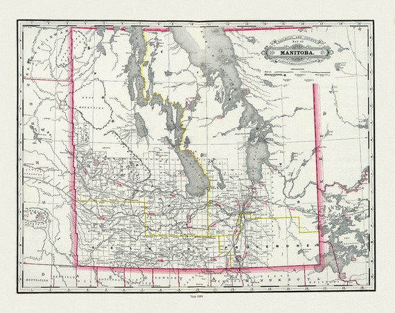
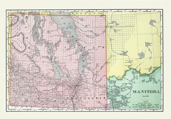 Manitoba, Rand, McNally & Co., 1890, map on durable cotton canvas, 50 x 70 cm, 20 x 25" approx.
$45.20
Manitoba, Rand, McNally & Co., 1890, map on durable cotton canvas, 50 x 70 cm, 20 x 25" approx.
$45.20
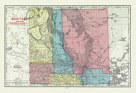 Rand McNally and Company, Manitobe ,1903 , map on durable cotton canvas, 50 x 70 cm, 20 x 25" approx.
$45.20
Rand McNally and Company, Manitobe ,1903 , map on durable cotton canvas, 50 x 70 cm, 20 x 25" approx.
$45.20
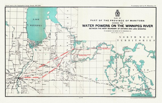 Plan of part of the province of Manitoba showing the water powers on the Winnipeg River,1908, map , 50 x 70 cm, 20 x 25" approx.
$45.20
Plan of part of the province of Manitoba showing the water powers on the Winnipeg River,1908, map , 50 x 70 cm, 20 x 25" approx.
$45.20
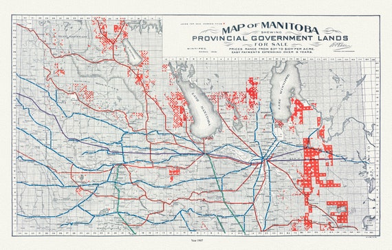 Manitoba shewing provincial government lands for sale, 1907 , map on durable cotton canvas, 50 x 70 cm, 20 x 25" approx.
$45.20
Manitoba shewing provincial government lands for sale, 1907 , map on durable cotton canvas, 50 x 70 cm, 20 x 25" approx.
$45.20
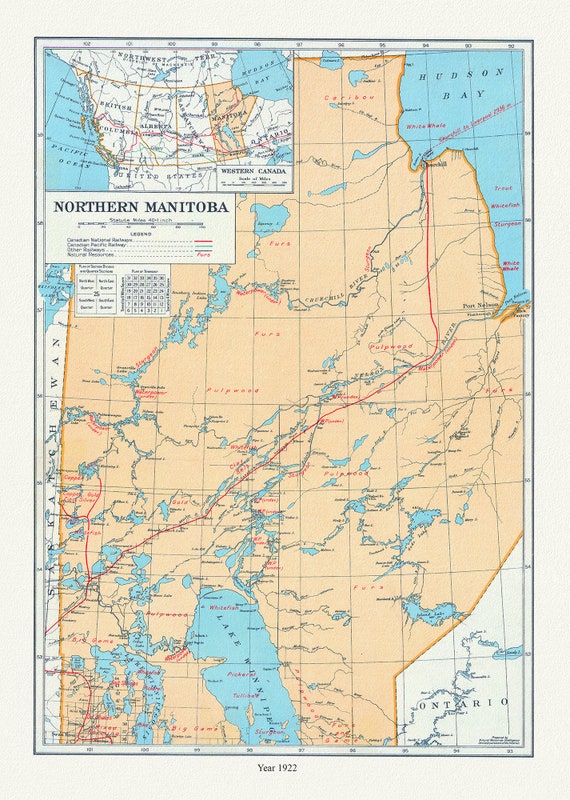 Northern Manitoba, A Resource Map, 1922 , map on durable cotton canvas, 50 x 70 cm, 20 x 25" approx.
$45.20
Northern Manitoba, A Resource Map, 1922 , map on durable cotton canvas, 50 x 70 cm, 20 x 25" approx.
$45.20
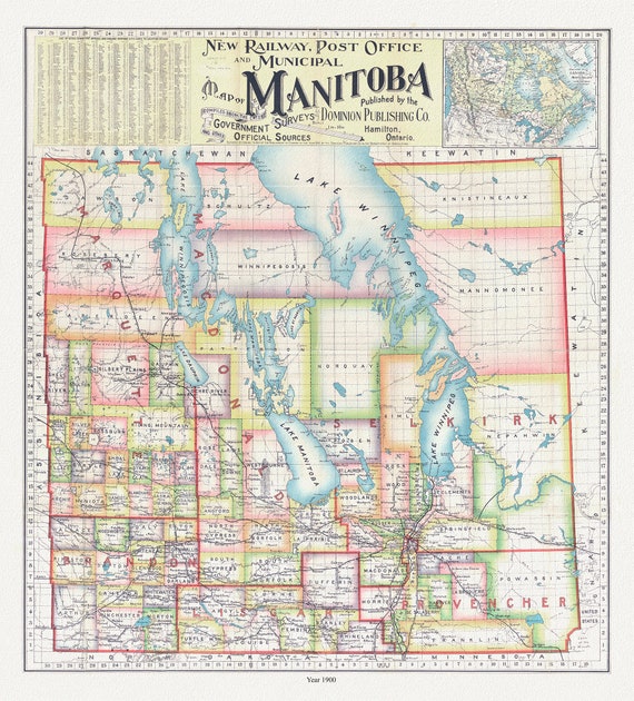 New railway, post office and municipal map of Manitoba compiled from the latest government surveys and other official sources.1900
$45.20
New railway, post office and municipal map of Manitoba compiled from the latest government surveys and other official sources.1900
$45.20
![Map of part of Keewatin shewing Dominion land surveys, 1876 [south Kenora district], map on durable canvas, 50 x 70 cm, 20 x 25" approx.](https://i.etsystatic.com/26429015/r/il/5071d1/4486181667/il_570xN.4486181667_p8xg.jpg) Map of part of Keewatin shewing Dominion land surveys, 1876 [south Kenora district], map on durable canvas, 50 x 70 cm, 20 x 25" approx.
$45.20
Map of part of Keewatin shewing Dominion land surveys, 1876 [south Kenora district], map on durable canvas, 50 x 70 cm, 20 x 25" approx.
$45.20
 Manitoba, 1901, Cram auth.,, map on durable cotton canvas, 50 x 70 cm, 20 x 25" approx.
$45.20
Manitoba, 1901, Cram auth.,, map on durable cotton canvas, 50 x 70 cm, 20 x 25" approx.
$45.20
 Manitoba, 1889, Cram auth., map on durable cotton canvas, 50 x 70 cm, 20 x 25" approx.
$45.20
Manitoba, 1889, Cram auth., map on durable cotton canvas, 50 x 70 cm, 20 x 25" approx.
$45.20
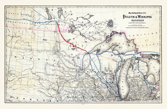 Colton, Route of the Duluth & Winnipeg Railroad, 1881, map on durable cotton canvas, 50 x 70 cm, 20 x 25" approx.
$45.20
Colton, Route of the Duluth & Winnipeg Railroad, 1881, map on durable cotton canvas, 50 x 70 cm, 20 x 25" approx.
$45.20
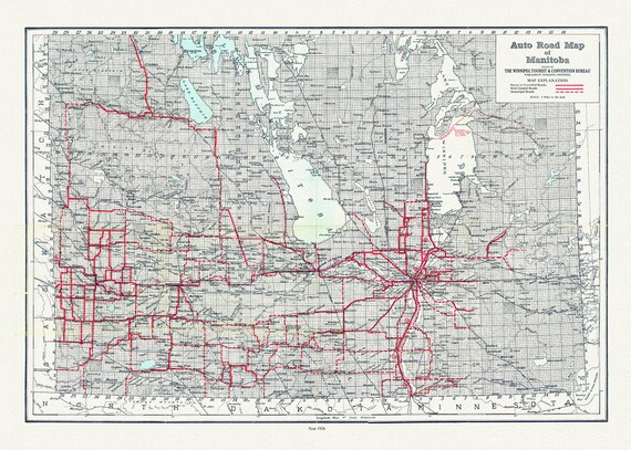 Manitoba, Auto road map, 1926, map on durable cotton canvas, 50 x 70 cm, 20 x 25" approx.
$45.20
Manitoba, Auto road map, 1926, map on durable cotton canvas, 50 x 70 cm, 20 x 25" approx.
$45.20
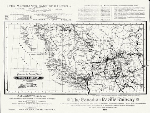 British Columbia, Brownlee auth., 1898, map on durable cotton canvas, 50 x 70 cm, 20 x 25" approx.
$45.20
British Columbia, Brownlee auth., 1898, map on durable cotton canvas, 50 x 70 cm, 20 x 25" approx.
$45.20
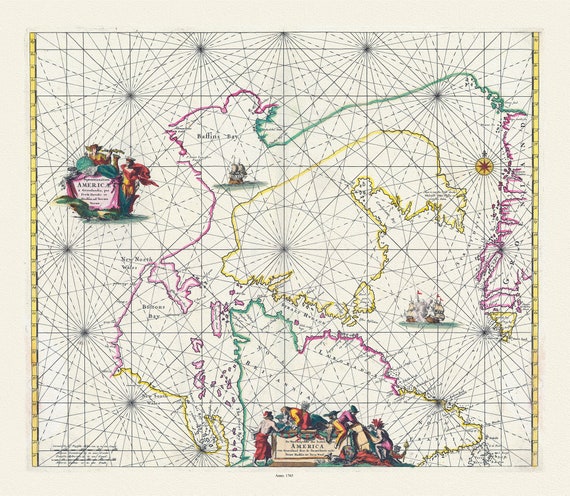 Septemtrionaliora Americae a Groenlandia, per Freta Davidis et Hudson van Groenland door de Straet Davis ende Straet Hudson, 1765
$45.20
Septemtrionaliora Americae a Groenlandia, per Freta Davidis et Hudson van Groenland door de Straet Davis ende Straet Hudson, 1765
$45.20
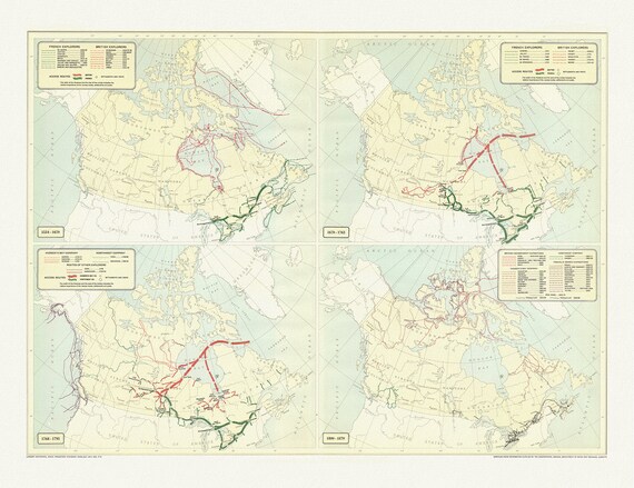 Routes of explorers, (1534-1870), map on durable cotton canvas, 50 x 70 cm, 20 x 25" approx.
$45.20
Routes of explorers, (1534-1870), map on durable cotton canvas, 50 x 70 cm, 20 x 25" approx.
$45.20
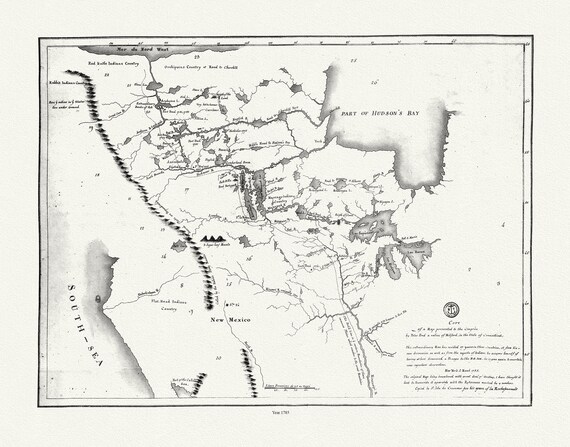 Peter Pond, fur trader & explorer, 1785, map on durable cotton canvas, 50 x 70 cm, 20 x 25" approx.
$45.20
Peter Pond, fur trader & explorer, 1785, map on durable cotton canvas, 50 x 70 cm, 20 x 25" approx.
$45.20
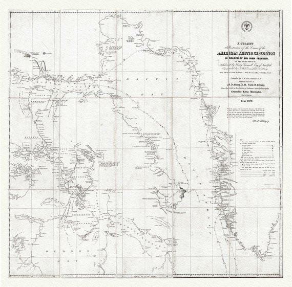 Arctic Expedition in Search of Sir John Franklin, 1850 Ver.2, map on durable cotton canvas, 50 x 70 cm, 20 x 25" approx.
$45.20
Arctic Expedition in Search of Sir John Franklin, 1850 Ver.2, map on durable cotton canvas, 50 x 70 cm, 20 x 25" approx.
$45.20
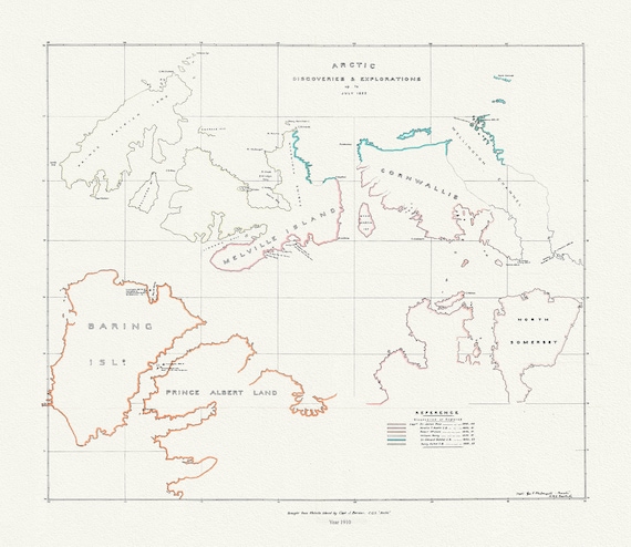 Arctic discoveries and explorations up to July 1853, (1910), map on durable cotton canvas, 50 x 70 cm or 20x25" approx.
$45.20
Arctic discoveries and explorations up to July 1853, (1910), map on durable cotton canvas, 50 x 70 cm or 20x25" approx.
$45.20
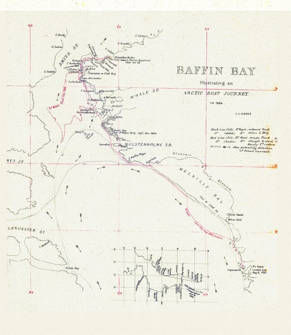 An Arctic Boat Journey around Baffin Bay Journey, A Manuscript, Kane et Hayes, 1855, 20 x 25" approx.
$45.20
An Arctic Boat Journey around Baffin Bay Journey, A Manuscript, Kane et Hayes, 1855, 20 x 25" approx.
$45.20
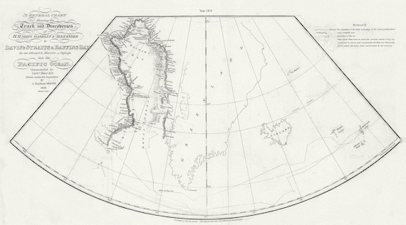 A General Chart Shewing the Track and Discoveries of H.M. Ships Isabella & Alexander to Davis's Straits and Baffin's Bay.Ross.1819
$45.20
A General Chart Shewing the Track and Discoveries of H.M. Ships Isabella & Alexander to Davis's Straits and Baffin's Bay.Ross.1819
$45.20