 Bellin, Baye James, 1744, Map on heavy cotton canvas, 22x27" approx.
$41.36
Bellin, Baye James, 1744, Map on heavy cotton canvas, 22x27" approx.
$41.36
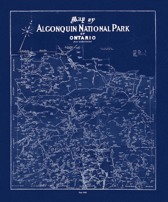 Historic Algonquin Park Map, Dr. Bell auth., 1908 Ver. Cyanotype , map on heavy cotton canvas, 45 x 65 cm, 18 x 24" approx.
$41.36
Historic Algonquin Park Map, Dr. Bell auth., 1908 Ver. Cyanotype , map on heavy cotton canvas, 45 x 65 cm, 18 x 24" approx.
$41.36
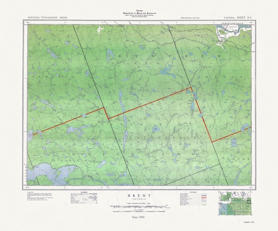 Historic Algonquin Park Map, Brent, National Topographic Series, 1949 , map on heavy cotton canvas, 20x27" approx.
$41.36
Historic Algonquin Park Map, Brent, National Topographic Series, 1949 , map on heavy cotton canvas, 20x27" approx.
$41.36
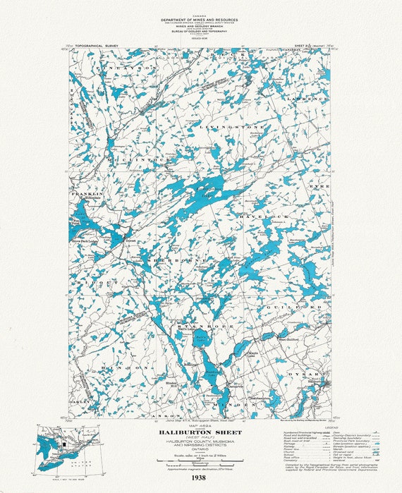 Historic Algonquin Park Map Haliburton West, National Topographic Series, 1938, map on heavy cotton canvas, 20x27" approx.
$41.36
Historic Algonquin Park Map Haliburton West, National Topographic Series, 1938, map on heavy cotton canvas, 20x27" approx.
$41.36
 Historic Algonquin Park Map, Haliburton East, National Topographic Series, 1938, map on heavy cotton canvas, 22x27" approx.
$41.36
Historic Algonquin Park Map, Haliburton East, National Topographic Series, 1938, map on heavy cotton canvas, 22x27" approx.
$41.36
 Muskoka-Haliburton, Brunel Township, 1893, map on heavy cotton canvas, 20 x 25" approx.
$41.36
Muskoka-Haliburton, Brunel Township, 1893, map on heavy cotton canvas, 20 x 25" approx.
$41.36
 Topographical Map of Muskoka, Ontario, 1929, on heavy cotton canvas, 22x27" approx.
$41.36
Topographical Map of Muskoka, Ontario, 1929, on heavy cotton canvas, 22x27" approx.
$41.36
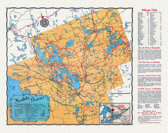 Road Map, Muskoka district, Ontario, 1936, on heavy cotton canvas, 22x27" approx.
$41.36
Road Map, Muskoka district, Ontario, 1936, on heavy cotton canvas, 22x27" approx.
$41.36
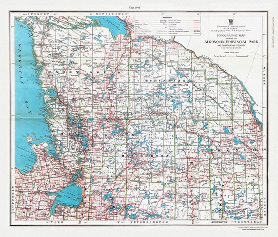 Topographic Map showing the Algonquin Provincial Park and surrounding country in the Province of Ontario, 1946, cotton canvas, 22x27"
$41.36
Topographic Map showing the Algonquin Provincial Park and surrounding country in the Province of Ontario, 1946, cotton canvas, 22x27"
$41.36
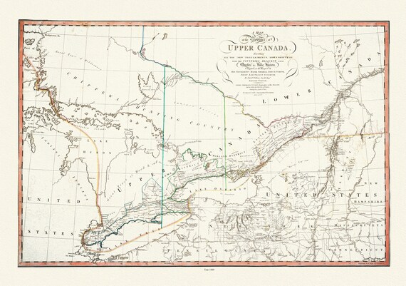 Smyth, The Province of Upper Canada describing all the new settlements, townships, 1800 , map on heavy cotton canvas, 22x27" approx.
$41.36
Smyth, The Province of Upper Canada describing all the new settlements, townships, 1800 , map on heavy cotton canvas, 22x27" approx.
$41.36
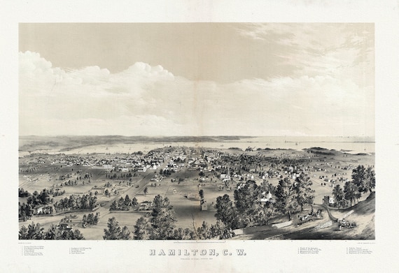 Hamilton, Ontario, Canada West, 1859, map on heavy cotton canvas, 20 x 25" approx.
$41.36
Hamilton, Ontario, Canada West, 1859, map on heavy cotton canvas, 20 x 25" approx.
$41.36
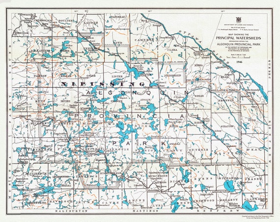 Principal Watersheds Originating within the Algonquin Provincial Park, 1946, map on heavy cotton canvas, 22x27" approx.
$41.36
Principal Watersheds Originating within the Algonquin Provincial Park, 1946, map on heavy cotton canvas, 22x27" approx.
$41.36
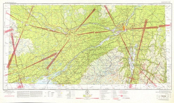 Aeronautical Chart, Ontario, South Eastern Section, 1942 , map on heavy cotton canvas, 20 x 27" approx.
$41.36
Aeronautical Chart, Ontario, South Eastern Section, 1942 , map on heavy cotton canvas, 20 x 27" approx.
$41.36
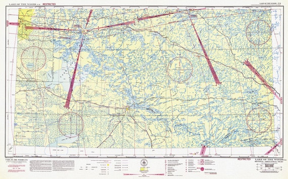 Aeronautical Chart, Ontario, Lake of the Woods Section, 1942, map on heavy cotton canvas, 20 x 27" approx.
$41.36
Aeronautical Chart, Ontario, Lake of the Woods Section, 1942, map on heavy cotton canvas, 20 x 27" approx.
$41.36
 Aeronautical Chart, Ontario, Lake Superior Section, 1942 , map on heavy cotton canvas, 20 x 27" approx.
$41.36
Aeronautical Chart, Ontario, Lake Superior Section, 1942 , map on heavy cotton canvas, 20 x 27" approx.
$41.36
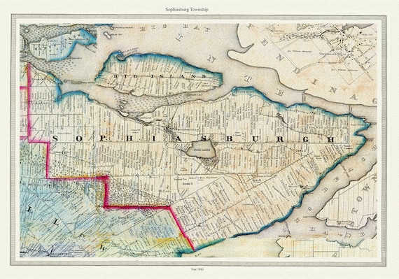 Township of Sophiasburg in Prince Edward County, Tremaine auth., 1863, map on heavy cotton canvas, 45 x 65 cm, 18 x 24" approx.
$41.36
Township of Sophiasburg in Prince Edward County, Tremaine auth., 1863, map on heavy cotton canvas, 45 x 65 cm, 18 x 24" approx.
$41.36
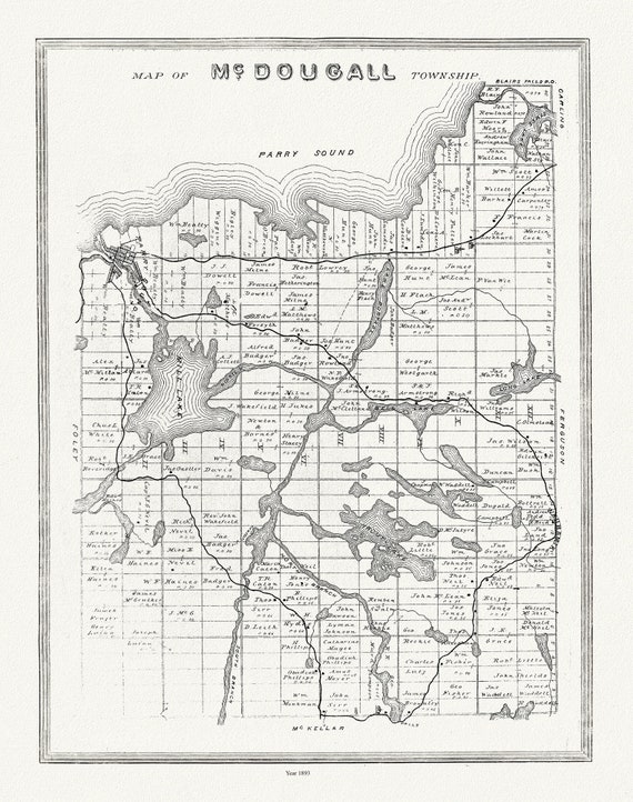 Muskoka-Haliburton, McDougall Township, 1893, map on heavy cotton canvas, 20 x 25" approx.
$41.36
Muskoka-Haliburton, McDougall Township, 1893, map on heavy cotton canvas, 20 x 25" approx.
$41.36
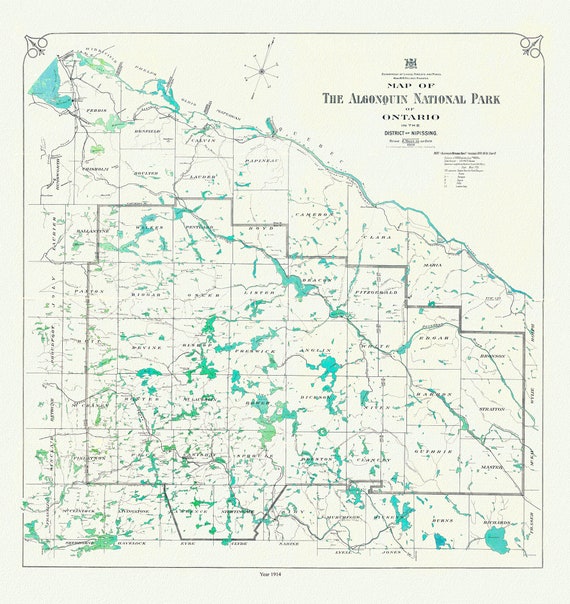 Historic Algonquin Park Map, 1914, map on heavy cotton canvas, 20x27" approx
$41.36
Historic Algonquin Park Map, 1914, map on heavy cotton canvas, 20x27" approx
$41.36
 Bird's eye view of Chatham, Ontario, 1870, map on heavy cotton canvas, 22x27" approx.
$41.36
Bird's eye view of Chatham, Ontario, 1870, map on heavy cotton canvas, 22x27" approx.
$41.36
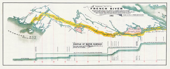 French River Canal, main channel to be adapted to a navigation of 20 foot draught, 1901, map on heavy cotton canvas, 18x27" approx.
$41.36
French River Canal, main channel to be adapted to a navigation of 20 foot draught, 1901, map on heavy cotton canvas, 18x27" approx.
$41.36