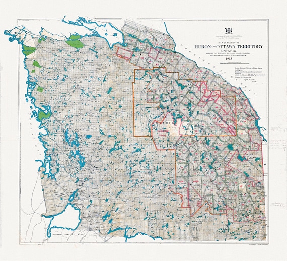
 Algonquin Park Area, Part of the Huron and Ottawa Territories, 1913 , map on heavy cotton canvas, 45 x 65 cm, 18 x 24" approx.
$41.36
Algonquin Park Area, Part of the Huron and Ottawa Territories, 1913 , map on heavy cotton canvas, 45 x 65 cm, 18 x 24" approx.
$41.36
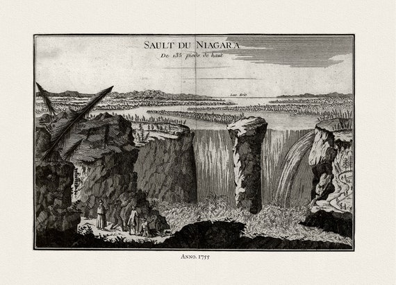 La Rouge, Sault du Niagara, de 135 pieds de haut, 1755, on heavy cotton canvas, 22x27" approx.
$41.36
La Rouge, Sault du Niagara, de 135 pieds de haut, 1755, on heavy cotton canvas, 22x27" approx.
$41.36
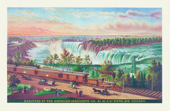 Canadian Southern Railway, 1872, a decorative print on heavy cotton canvas, 22x27" approx.
$41.36
Canadian Southern Railway, 1872, a decorative print on heavy cotton canvas, 22x27" approx.
$41.36
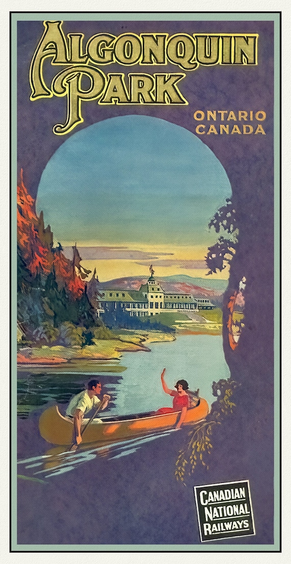
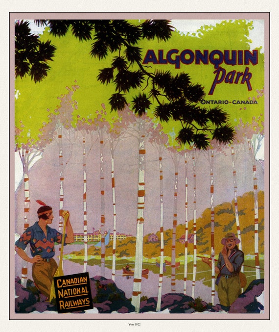 E Historic Algonquin Park, CN Rail Brouchure Cover, 1922 , map on durable cotton canvas, 50 x 70 cm, 20 x 25" approx.
$41.36
E Historic Algonquin Park, CN Rail Brouchure Cover, 1922 , map on durable cotton canvas, 50 x 70 cm, 20 x 25" approx.
$41.36
 Historic Algonquin Park, CN Rail ,1925 , map on durable cotton canvas, 50 x 70 cm, 20 x 25" approx.
$41.36
Historic Algonquin Park, CN Rail ,1925 , map on durable cotton canvas, 50 x 70 cm, 20 x 25" approx.
$41.36
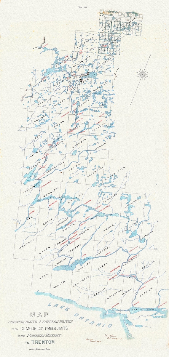 Historic Algonquin Park Map, Gilmour Log Drive from Nipissing to Trenton, 1894, map on durable cotton canvas, 14 x 28" approx.
$41.36
Historic Algonquin Park Map, Gilmour Log Drive from Nipissing to Trenton, 1894, map on durable cotton canvas, 14 x 28" approx.
$41.36
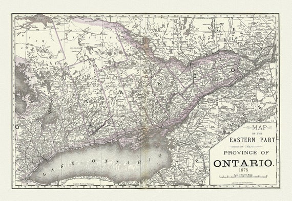 Rand, McNally & Co., Eastern Part of the Province of Ontario, 1878, map on heavy cotton canvas, 22x27" approx.
$41.36
Rand, McNally & Co., Eastern Part of the Province of Ontario, 1878, map on heavy cotton canvas, 22x27" approx.
$41.36
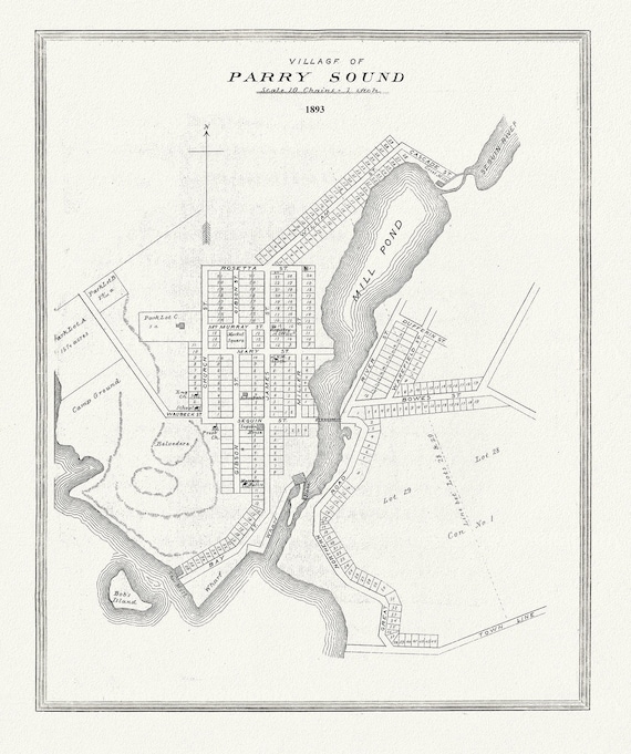 Muskoka-Haliburton, Parry Sound Village, 1893, map on heavy cotton canvas, 20 x 25" approx.
$41.36
Muskoka-Haliburton, Parry Sound Village, 1893, map on heavy cotton canvas, 20 x 25" approx.
$41.36
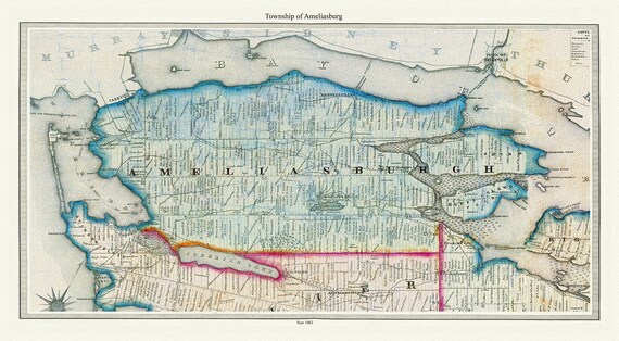 Township of Ameliasburg in Prince Edward County, Tremaine auth., 1863, map on heavy cotton canvas, 45 x 65 cm, 18 x 24" approx.
$41.36
Township of Ameliasburg in Prince Edward County, Tremaine auth., 1863, map on heavy cotton canvas, 45 x 65 cm, 18 x 24" approx.
$41.36
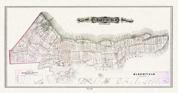 North Marysburgh Township, Prince Edward County, 1888, map on heavy cotton canvas, 45 x 65 cm, 18 x 24" approx.0
$41.36
North Marysburgh Township, Prince Edward County, 1888, map on heavy cotton canvas, 45 x 65 cm, 18 x 24" approx.0
$41.36
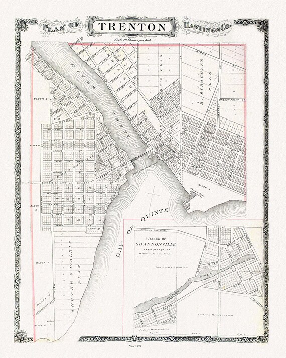 Map of Trenton, 1878, map on heavy cotton canvas, 45 x 65 cm, 18 x 24" approx.
$41.36
Map of Trenton, 1878, map on heavy cotton canvas, 45 x 65 cm, 18 x 24" approx.
$41.36
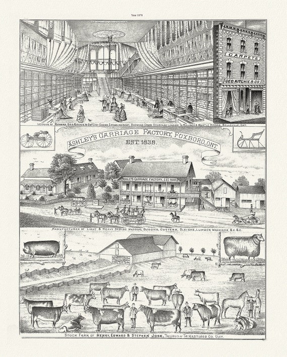 Hastings County, Businesses, 1878, map on heavy cotton canvas, 45 x 65 cm, 18 x 24" approx.
$41.36
Hastings County, Businesses, 1878, map on heavy cotton canvas, 45 x 65 cm, 18 x 24" approx.
$41.36
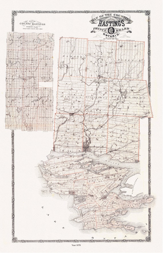 Hastings and Prince Edward Counties, Ontario, 1879, map on heavy cotton canvas, 45 x 65 cm, 18 x 24" approx.
$41.36
Hastings and Prince Edward Counties, Ontario, 1879, map on heavy cotton canvas, 45 x 65 cm, 18 x 24" approx.
$41.36
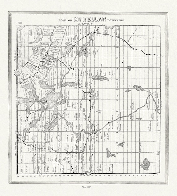 Muskoka-Haliburton, McKellar Township, 1893, map on heavy cotton canvas, 20 x 25" approx.
$41.36
Muskoka-Haliburton, McKellar Township, 1893, map on heavy cotton canvas, 20 x 25" approx.
$41.36
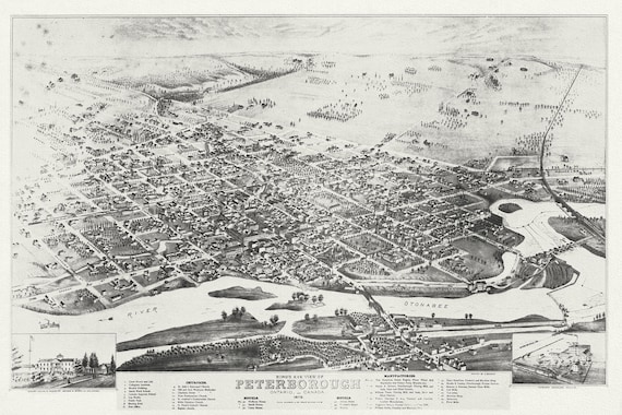 Bird's eye view of Peterborough, Ontario, Canada, 1875, map on durable cotton canvas, 50 x 70 cm, 20 x 25" approx.
$41.36
Bird's eye view of Peterborough, Ontario, Canada, 1875, map on durable cotton canvas, 50 x 70 cm, 20 x 25" approx.
$41.36
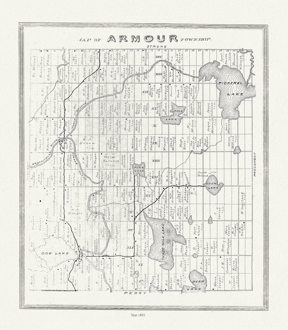 Muskoka-Haliburton, Armour Township, 1893, map on heavy cotton canvas, 20 x 25" approx.
$41.36
Muskoka-Haliburton, Armour Township, 1893, map on heavy cotton canvas, 20 x 25" approx.
$41.36
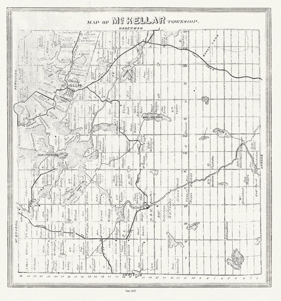 Muskoka-Haliburton, McKellar Township, 1893, map on heavy cotton canvas, 20 x 25" approx.
$41.36
Muskoka-Haliburton, McKellar Township, 1893, map on heavy cotton canvas, 20 x 25" approx.
$41.36
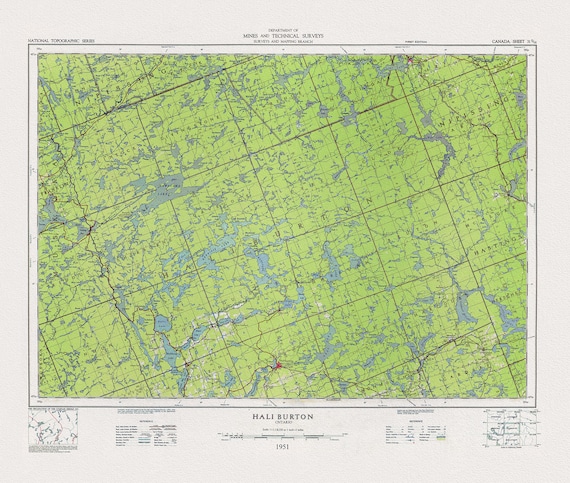 Topographical Map of Haliburton, Ontario, 1951, on heavy cotton canvas, 22x27" approx.
$41.36
Topographical Map of Haliburton, Ontario, 1951, on heavy cotton canvas, 22x27" approx.
$41.36
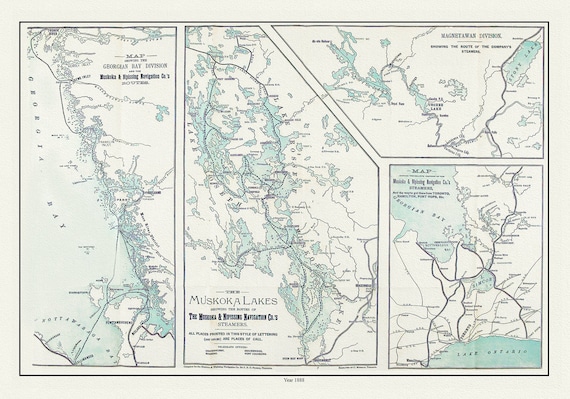 Muskoka Lakes, Guide to Steamer Routes, 1888 , map on durable cotton canvas, 50 x 70 cm, 20 x 25" approx.
$41.36
Muskoka Lakes, Guide to Steamer Routes, 1888 , map on durable cotton canvas, 50 x 70 cm, 20 x 25" approx.
$41.36
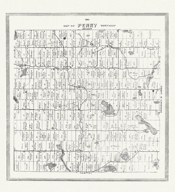 Muskoka-Haliburton, Perry Township, 1893, map on heavy cotton canvas, 20 x 25" approx.
$41.36
Muskoka-Haliburton, Perry Township, 1893, map on heavy cotton canvas, 20 x 25" approx.
$41.36