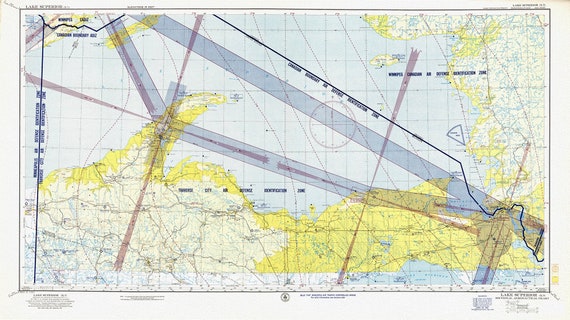
 Aeronautical Chart, Ontario, Lake Superior Section, 1952 , map on heavy cotton canvas, 20 x 27" approx.
$41.36
Aeronautical Chart, Ontario, Lake Superior Section, 1952 , map on heavy cotton canvas, 20 x 27" approx.
$41.36
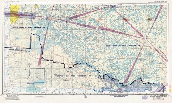
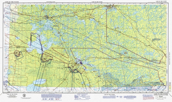 Aeronautical Chart, Ontario, Lake of the Woods Section, 1970
$41.36
Aeronautical Chart, Ontario, Lake of the Woods Section, 1970
$41.36
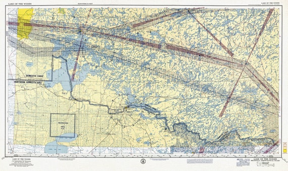 Aeronautical Chart, Ontario, Lake of the Woods Section, 1960 , map on heavy cotton canvas, 20 x 27" approx.
$41.36
Aeronautical Chart, Ontario, Lake of the Woods Section, 1960 , map on heavy cotton canvas, 20 x 27" approx.
$41.36
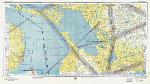
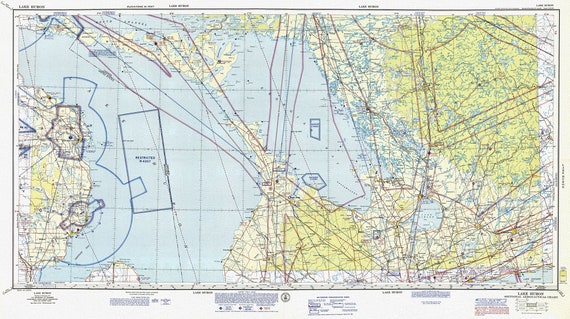 Aeronautical Chart, Ontario, Lake Huron Section, 1970, map on heavy cotton canvas, 20 x 27" approx.
$41.36
Aeronautical Chart, Ontario, Lake Huron Section, 1970, map on heavy cotton canvas, 20 x 27" approx.
$41.36
 Aeronautical Chart, Ontario, Lake of the Woods Section, 1952, map on heavy cotton canvas, 20 x 27" approx.
$41.36
Aeronautical Chart, Ontario, Lake of the Woods Section, 1952, map on heavy cotton canvas, 20 x 27" approx.
$41.36
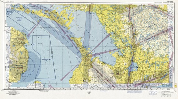 Aeronautical Chart, Ontario, Lake Huron Section, 1960
$41.36
Aeronautical Chart, Ontario, Lake Huron Section, 1960
$41.36
 Aeronautical Chart, Ontario, Lake Huron Section, 1952 , map on heavy cotton canvas, 20 x 27" approx.
$41.36
Aeronautical Chart, Ontario, Lake Huron Section, 1952 , map on heavy cotton canvas, 20 x 27" approx.
$41.36
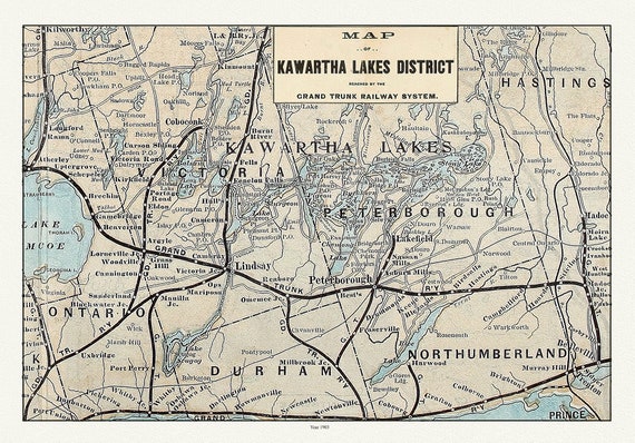 Kawartha Lake District, Grand Trunk Railway, 1903 Ver. II, map on durable cotton canvas, 50 x 70 cm, 20 x 25" approx.
$41.36
Kawartha Lake District, Grand Trunk Railway, 1903 Ver. II, map on durable cotton canvas, 50 x 70 cm, 20 x 25" approx.
$41.36
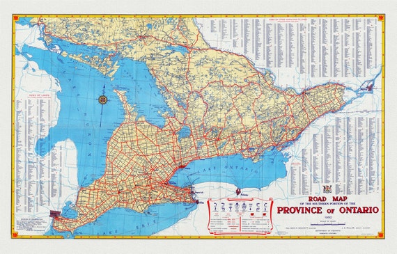 Official Road Map of Ontario, 1950, map on heavy cotton canvas, 22x27" approx.
$41.36
Official Road Map of Ontario, 1950, map on heavy cotton canvas, 22x27" approx.
$41.36
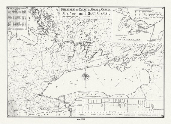 Trent Canal, Ontario, in 1918. It shows uncompleted and completed canals, railroads, and distances between major cities, 20 x 25" approx.
$41.36
Trent Canal, Ontario, in 1918. It shows uncompleted and completed canals, railroads, and distances between major cities, 20 x 25" approx.
$41.36
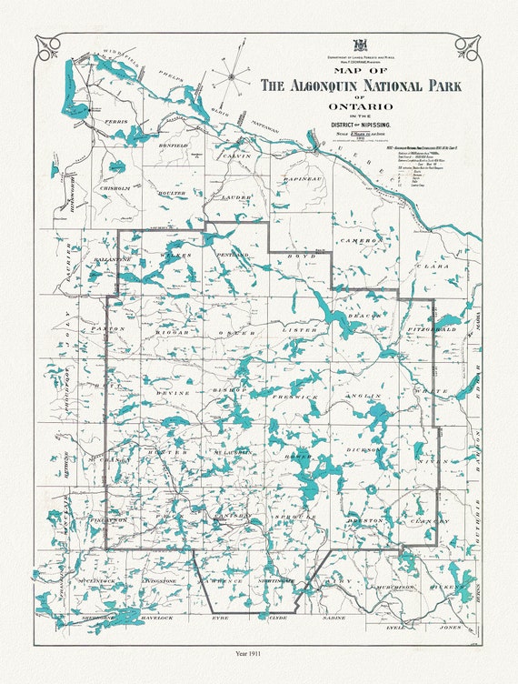 Historic Algonquin Park Map, Lands, Forests & Mines, 1911 , map on heavy cotton canvas, 20 x 25" approx.
$41.36
Historic Algonquin Park Map, Lands, Forests & Mines, 1911 , map on heavy cotton canvas, 20 x 25" approx.
$41.36
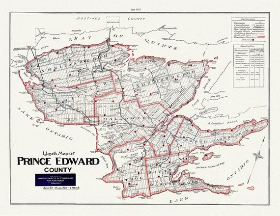 Map of Prince Edward County, Ontario, 1923, map on heavy cotton canvas, 45 x 65 cm, 18 x 24" approx.
$41.36
Map of Prince Edward County, Ontario, 1923, map on heavy cotton canvas, 45 x 65 cm, 18 x 24" approx.
$41.36
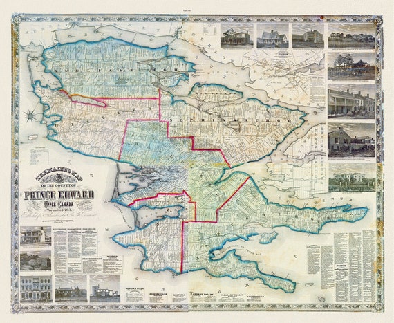 Prince Edward County, 1863, Tremaine auth., 1863, map on heavy cotton canvas, 50 x 70cm, 20 x 25" approx.
$41.36
Prince Edward County, 1863, Tremaine auth., 1863, map on heavy cotton canvas, 50 x 70cm, 20 x 25" approx.
$41.36
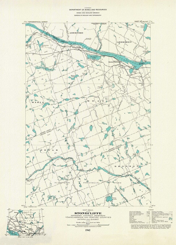 Historic Algonquin Park Map, Stonecliffe ,National Topographic Series, 1942, map on heavy cotton canvas, 20 x 25" approx.
$41.36
Historic Algonquin Park Map, Stonecliffe ,National Topographic Series, 1942, map on heavy cotton canvas, 20 x 25" approx.
$41.36
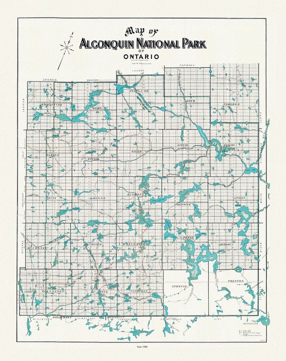 Historic Algonquin Park Map, Copp Clark Co., 1900, map on heavy cotton canvas, 20 x 25" approx.
$41.36
Historic Algonquin Park Map, Copp Clark Co., 1900, map on heavy cotton canvas, 20 x 25" approx.
$41.36
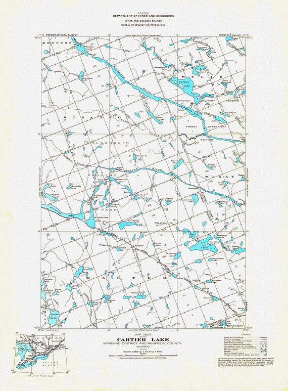 Historic Algonquin Park Map, Cartier Lake, National Topographic Series, 1944 , map on heavy cotton canvas, 20 x 25" approx.
$41.36
Historic Algonquin Park Map, Cartier Lake, National Topographic Series, 1944 , map on heavy cotton canvas, 20 x 25" approx.
$41.36
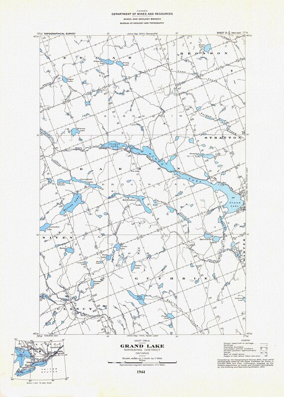 Historic Algonquin Park Map, Grand Lake, National Topographic Series, 1944, map on heavy cotton canvas, 20 x 25" approx.
$41.36
Historic Algonquin Park Map, Grand Lake, National Topographic Series, 1944, map on heavy cotton canvas, 20 x 25" approx.
$41.36
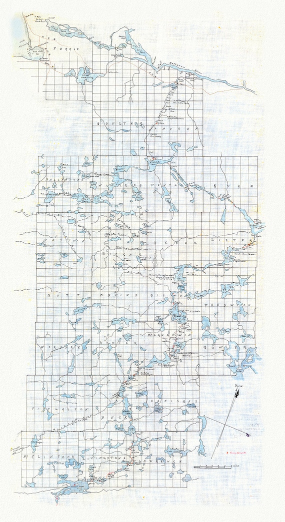 Historic Algonquin Park Map (Hand drawn), Kawagama to North Bay via Algonquin, c. 1916 , map on heavy cotton canvas, 20 x 25" approx.
$41.36
Historic Algonquin Park Map (Hand drawn), Kawagama to North Bay via Algonquin, c. 1916 , map on heavy cotton canvas, 20 x 25" approx.
$41.36
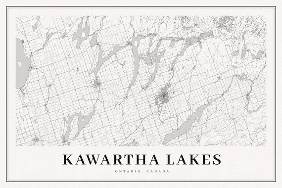 Kawartha Lakes, A Modern Map, map on durable cotton canvas, 50 x 70 cm, 20 x 25" approx.
$41.36
Kawartha Lakes, A Modern Map, map on durable cotton canvas, 50 x 70 cm, 20 x 25" approx.
$41.36
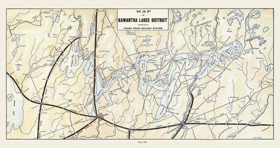 Kawartha Lakes District, Grand Trunk Railroad, 1901 , map on durable cotton canvas, 50 x 70 cm, 20 x 25" approx.
$41.36
Kawartha Lakes District, Grand Trunk Railroad, 1901 , map on durable cotton canvas, 50 x 70 cm, 20 x 25" approx.
$41.36