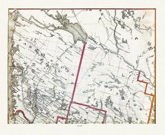
 Muskoka-Haliburton, Parry Sound-Nipissing, 1893 , map on heavy cotton canvas, 20 x 25" approx.
$41.36
Muskoka-Haliburton, Parry Sound-Nipissing, 1893 , map on heavy cotton canvas, 20 x 25" approx.
$41.36
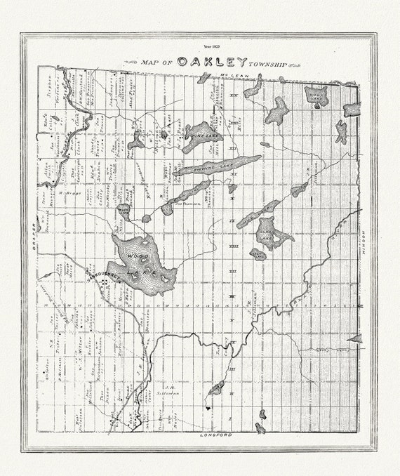 Muskoka-Haliburton, Oakley Township, 1893 , map on heavy cotton canvas, 20 x 25" approx.
$45.12
Muskoka-Haliburton, Oakley Township, 1893 , map on heavy cotton canvas, 20 x 25" approx.
$45.12
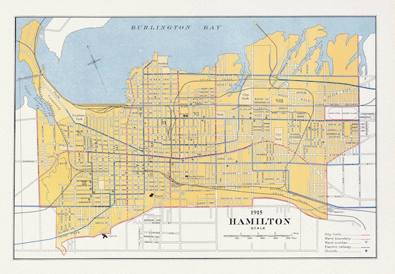 Canada, Department of Interior, Hamilton, 1915, map on heavy cotton canvas, 22x27" approx.
$41.36
Canada, Department of Interior, Hamilton, 1915, map on heavy cotton canvas, 22x27" approx.
$41.36
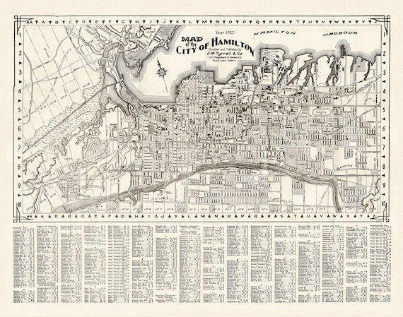 Map of the City of Hamilton, 1922, on heavy cotton canvas, 22x27" approx.
$41.36
Map of the City of Hamilton, 1922, on heavy cotton canvas, 22x27" approx.
$41.36
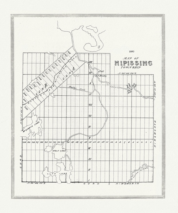 Muskoka-Haliburton, Nipissing Township, 1893, map on heavy cotton canvas, 20 x 25" approx.
$41.36
Muskoka-Haliburton, Nipissing Township, 1893, map on heavy cotton canvas, 20 x 25" approx.
$41.36
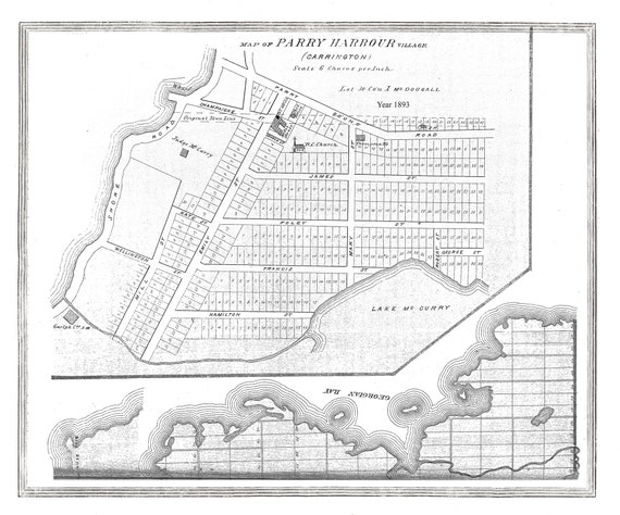 Muskoka-Haliburton, Parry Harbour Village, 1893, map on heavy cotton canvas, 20 x 25" approx.
$41.36
Muskoka-Haliburton, Parry Harbour Village, 1893, map on heavy cotton canvas, 20 x 25" approx.
$41.36
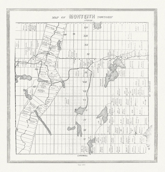 Muskoka-Haliburton, Monteith Township, 1893 , map on heavy cotton canvas, 20 x 25" approx.
$41.36
Muskoka-Haliburton, Monteith Township, 1893 , map on heavy cotton canvas, 20 x 25" approx.
$41.36
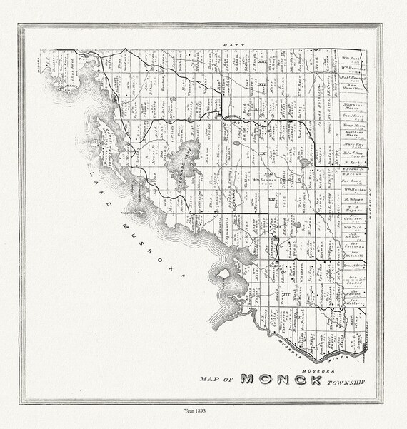 Muskoka-Haliburton, Monck Township, 1893, map on heavy cotton canvas, 20 x 25" approx.
$41.36
Muskoka-Haliburton, Monck Township, 1893, map on heavy cotton canvas, 20 x 25" approx.
$41.36
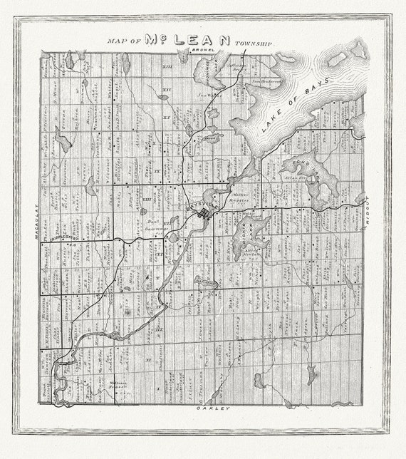 Muskoka-Haliburton, McLean Township, 1893, map on heavy cotton canvas, 20 x 25" approx.
$41.36
Muskoka-Haliburton, McLean Township, 1893, map on heavy cotton canvas, 20 x 25" approx.
$41.36
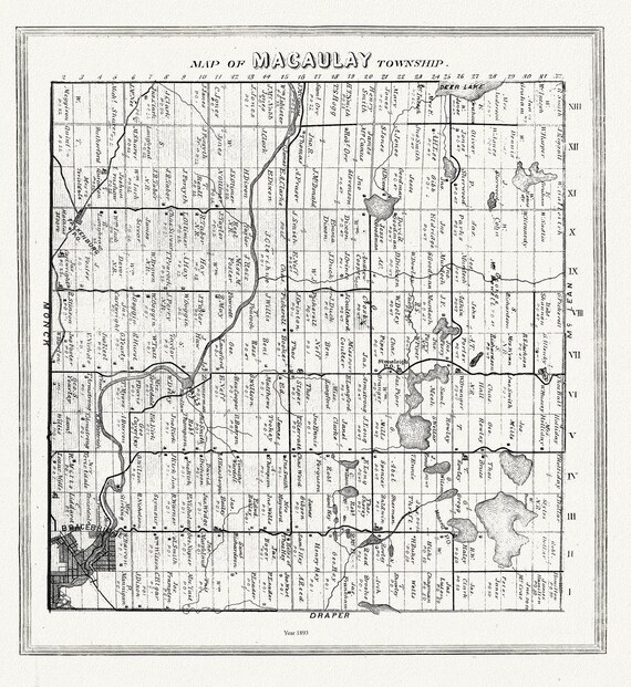 Muskoka-Haliburton, Macauley Township, 1893, map on heavy cotton canvas, 20 x 25" approx.
$41.36
Muskoka-Haliburton, Macauley Township, 1893, map on heavy cotton canvas, 20 x 25" approx.
$41.36
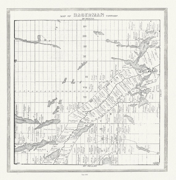 Muskoka-Haliburton, Hagerman Township, 1893, map on heavy cotton canvas, 20 x 25" approx.
$41.36
Muskoka-Haliburton, Hagerman Township, 1893, map on heavy cotton canvas, 20 x 25" approx.
$41.36
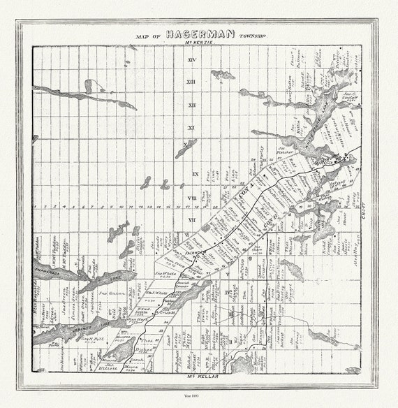 Muskoka-Haliburton, Hagerman Township, 1893 , map on heavy cotton canvas, 20 x 25" approx.
$41.36
Muskoka-Haliburton, Hagerman Township, 1893 , map on heavy cotton canvas, 20 x 25" approx.
$41.36
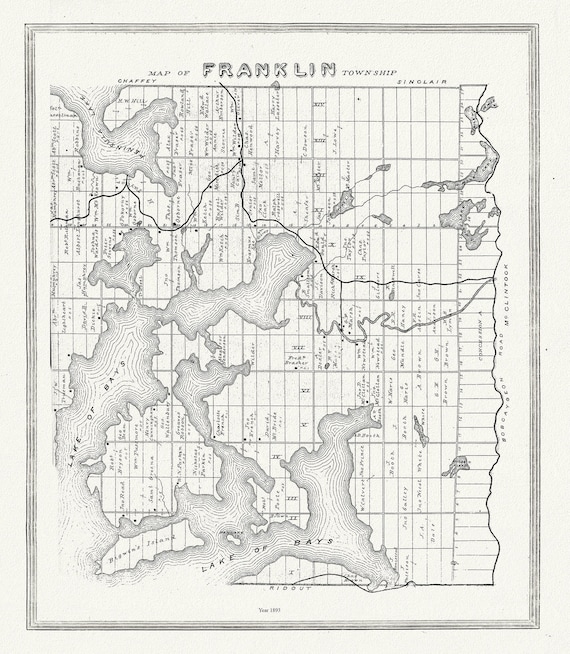 Muskoka-Haliburton, Franklin Township, 1893, map on heavy cotton canvas, 20 x 25" approx.
$41.36
Muskoka-Haliburton, Franklin Township, 1893, map on heavy cotton canvas, 20 x 25" approx.
$41.36
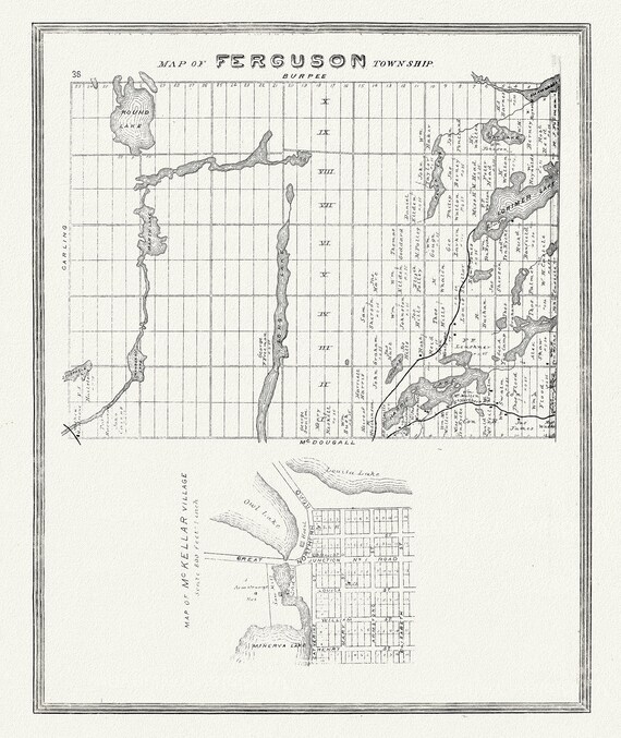 Muskoka-Haliburton, Ferguson Township, 1893, map on heavy cotton canvas, 20 x 25" approx.
$41.36
Muskoka-Haliburton, Ferguson Township, 1893, map on heavy cotton canvas, 20 x 25" approx.
$41.36
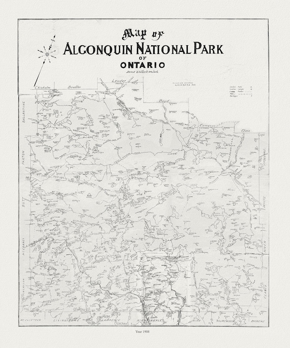 Historic Algonquin Park Map, auth. Dr. Bell, 1908 , map on heavy cotton canvas, 20x27" approx.
$33.84
Historic Algonquin Park Map, auth. Dr. Bell, 1908 , map on heavy cotton canvas, 20x27" approx.
$33.84
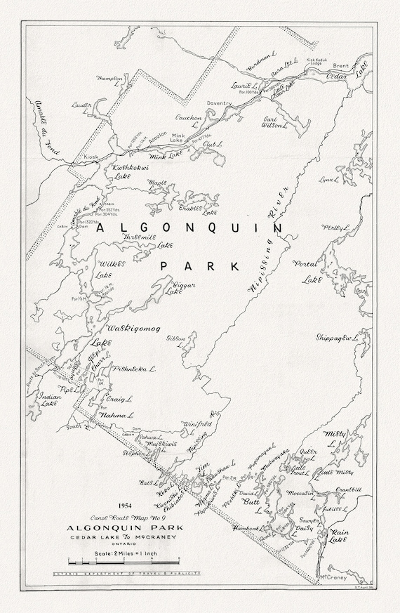 Canoe Route Map No. 9, Algonquin Park, 1954 , map on heavy cotton canvas, 22x27" approx.
$41.36
Canoe Route Map No. 9, Algonquin Park, 1954 , map on heavy cotton canvas, 22x27" approx.
$41.36
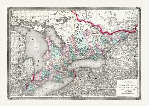 Ontario, Canada, Taintor Brothers & Merrill auth., 1874
$41.36
Ontario, Canada, Taintor Brothers & Merrill auth., 1874
$41.36
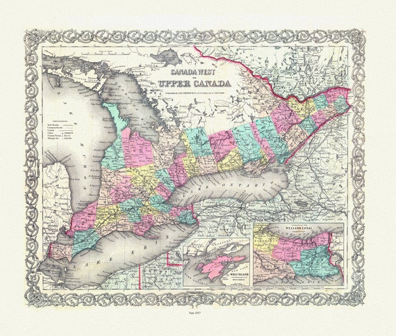 EOntario: Upper Canada. 1857
$41.36
EOntario: Upper Canada. 1857
$41.36
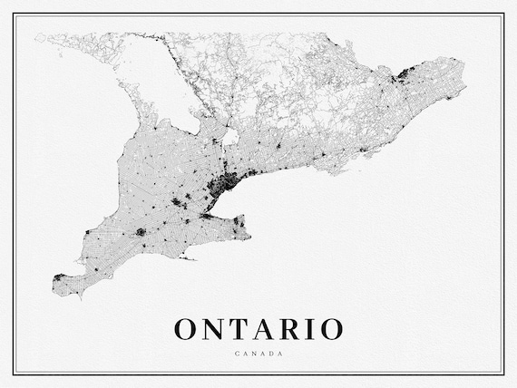 Southern Ontario, A Modern Map, on heavy cotton canvas, 50 x 70 cm, 20 x 25" approx.
$41.36
Southern Ontario, A Modern Map, on heavy cotton canvas, 50 x 70 cm, 20 x 25" approx.
$41.36
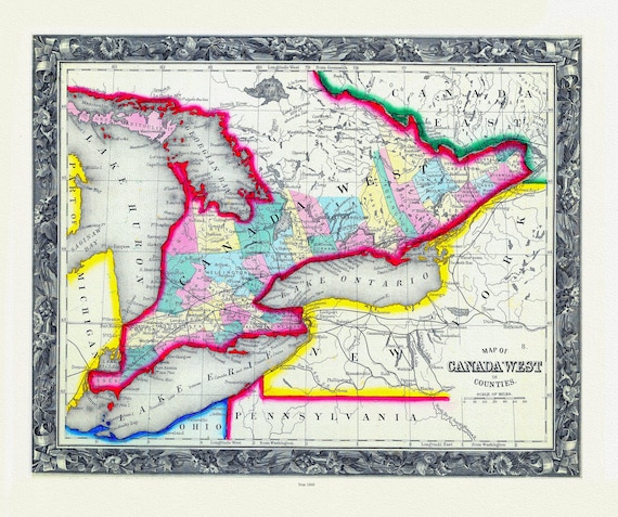 Map Of Canada West, In Counties, 1860
$41.36
Map Of Canada West, In Counties, 1860
$41.36