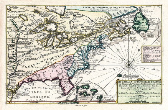
 Canada, 1705, Fer auth., map on durable cotton canvas, 50 x 70 cm, 20 x 25" approx.
$45.52
Canada, 1705, Fer auth., map on durable cotton canvas, 50 x 70 cm, 20 x 25" approx.
$45.52
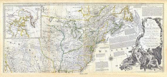 Jeffreys, North America, North East, 1776, map on durable cotton canvas, 21 x 33" approx.
$45.52
Jeffreys, North America, North East, 1776, map on durable cotton canvas, 21 x 33" approx.
$45.52
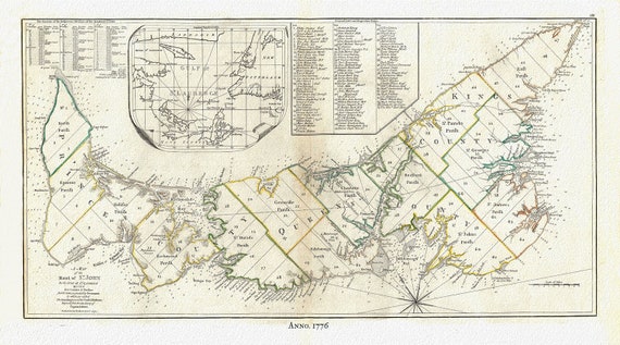 PEI:Gulf of St. Lawrence, Prince Edward Island, Jefferys auth.,1776 , map reprinted on durable cotton canvas, 50 x 70 cm or 20x25" approx.
$45.52
PEI:Gulf of St. Lawrence, Prince Edward Island, Jefferys auth.,1776 , map reprinted on durable cotton canvas, 50 x 70 cm or 20x25" approx.
$45.52
 Stanley Turner, Canada at War, 1944, vintage war poster on durable cotton canvas, 50 x 70 cm, 20 x 25" approx.
$45.52
Stanley Turner, Canada at War, 1944, vintage war poster on durable cotton canvas, 50 x 70 cm, 20 x 25" approx.
$45.52