
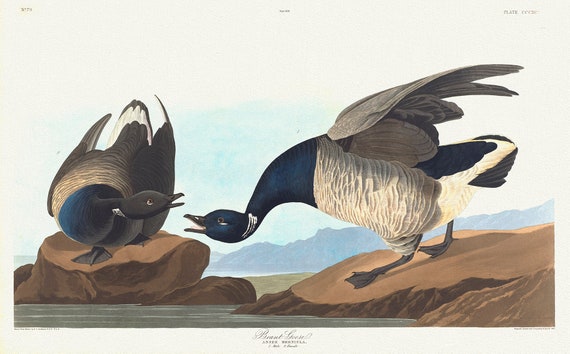
 Brant goose. Anser bernicla. 1. Male. 2. Female. c.1 v.4 plate 391, 1836 Audobon auth. print on canvas, 50 x 70 cm, 20 x 25" approx.
$41.63
Brant goose. Anser bernicla. 1. Male. 2. Female. c.1 v.4 plate 391, 1836 Audobon auth. print on canvas, 50 x 70 cm, 20 x 25" approx.
$41.63
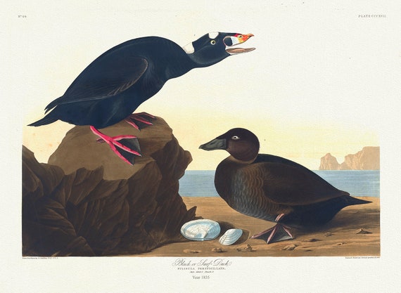 Black or surf duck. Fuligula perspicillata.plate 317, 1836 Audobon auth. , vintage nature print on canvas, 50 x 70 cm, 20 x 25" approx.
$41.63
Black or surf duck. Fuligula perspicillata.plate 317, 1836 Audobon auth. , vintage nature print on canvas, 50 x 70 cm, 20 x 25" approx.
$41.63
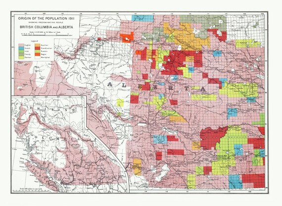 Department of the Interior, Origin of the Population for 1911 British Columbia and Alberta, issued 1915 ,heavy cotton canvas, 22x27" approx.
$41.63
Department of the Interior, Origin of the Population for 1911 British Columbia and Alberta, issued 1915 ,heavy cotton canvas, 22x27" approx.
$41.63
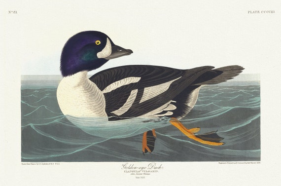 J.J. Audobon, Golden-eye duck. Ciangula vulgaris. Male, summer plumage, 1835, vintage nature print on canvas, 50 x 70 cm, 20 x 25" approx.
$41.63
J.J. Audobon, Golden-eye duck. Ciangula vulgaris. Male, summer plumage, 1835, vintage nature print on canvas, 50 x 70 cm, 20 x 25" approx.
$41.63
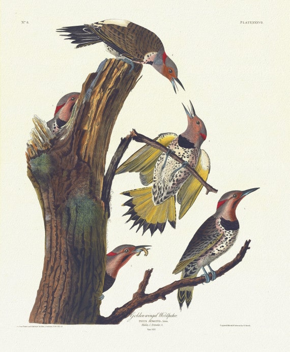 J.J. Audobon, Golden-winged woodpecker. Picus auratus, Linn. Males, 1. Females, 1835, nature print on canvas, 50 x 70 cm, 20 x 25" approx.
$41.63
J.J. Audobon, Golden-winged woodpecker. Picus auratus, Linn. Males, 1. Females, 1835, nature print on canvas, 50 x 70 cm, 20 x 25" approx.
$41.63
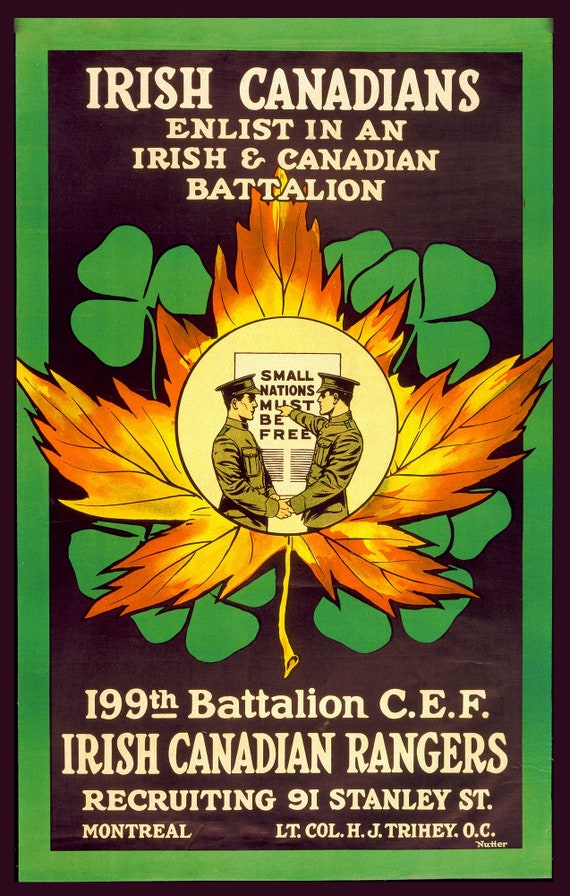 Canada WW I Poster, Irish Canadians. Enlist in an Irish and Canadian battalion., war poster on canvas, 50 x 70 cm, 20 x 25" approx.
$41.63
Canada WW I Poster, Irish Canadians. Enlist in an Irish and Canadian battalion., war poster on canvas, 50 x 70 cm, 20 x 25" approx.
$41.63
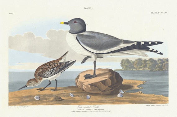 J.J. Audobon, Fork-tailed gull. Larus sabini, Swain & Richards. 1. Male summer plumage. 2. Tringa arenaria male spring plumage. c.1 v, 1835
$41.63
J.J. Audobon, Fork-tailed gull. Larus sabini, Swain & Richards. 1. Male summer plumage. 2. Tringa arenaria male spring plumage. c.1 v, 1835
$41.63
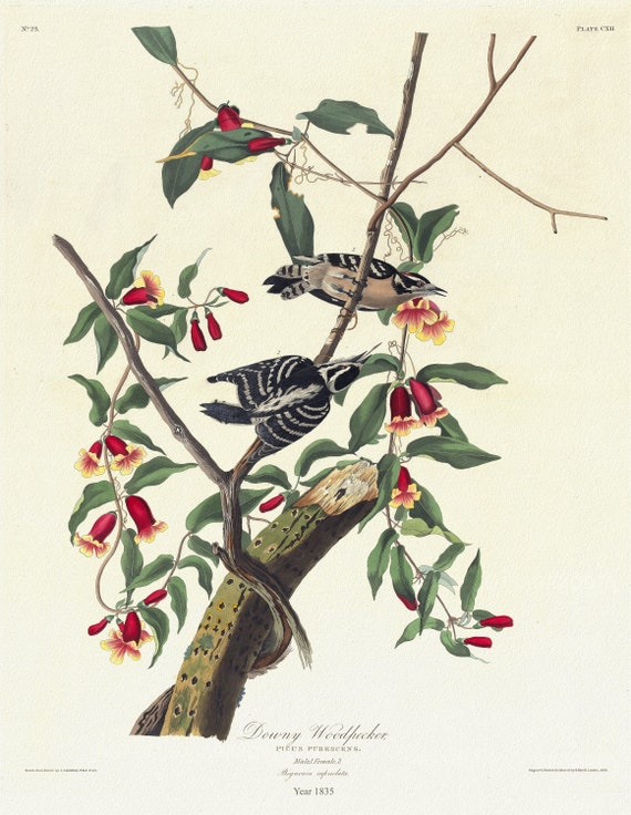 J.J. Audobon, Downy woodpecker. Picus pubescens. Male, 1. Female, 2. Bignonia, 1835, vintage nature print on canvas, 20 x 25" approx.
$41.63
J.J. Audobon, Downy woodpecker. Picus pubescens. Male, 1. Female, 2. Bignonia, 1835, vintage nature print on canvas, 20 x 25" approx.
$41.63
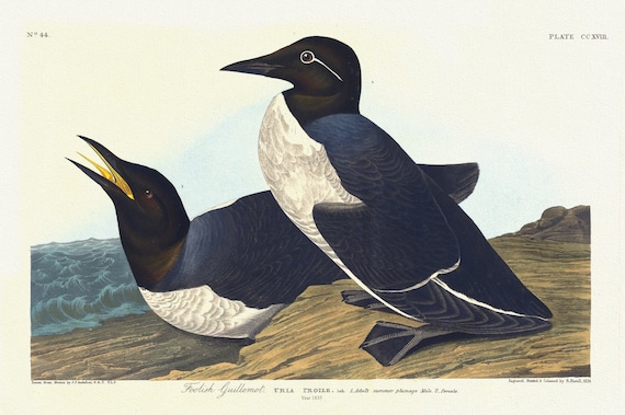 J.J. Audobon, Foolish guillemot. Uria proile, Lath. 1. Adult summer plumage, male. 2. Female. c.1 v.3 plate 218, 1835
$41.63
J.J. Audobon, Foolish guillemot. Uria proile, Lath. 1. Adult summer plumage, male. 2. Female. c.1 v.3 plate 218, 1835
$41.63
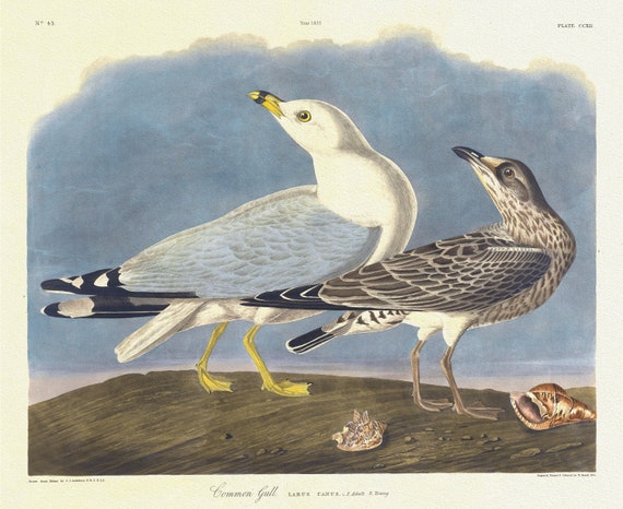 J.J. Audobon, Common gull Larus canus, L. 1. Adult. 2. Young, 1835, vintage nature print on canvas, 50 x 70 cm, 20 x 25" approx.
$41.63
J.J. Audobon, Common gull Larus canus, L. 1. Adult. 2. Young, 1835, vintage nature print on canvas, 50 x 70 cm, 20 x 25" approx.
$41.63
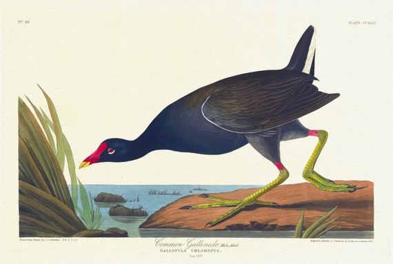 J.J. Audobon, Common gallinule, male, adult. Gallinula chloropus, 1835, vintage nature print on canvas, 50 x 70 cm, 20 x 25" approx.
$41.63
J.J. Audobon, Common gallinule, male, adult. Gallinula chloropus, 1835, vintage nature print on canvas, 50 x 70 cm, 20 x 25" approx.
$41.63
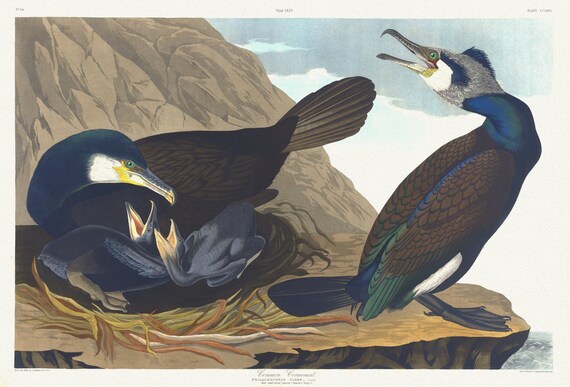 J.J. Audobon, Common cormorant.Phalacrocorax carbo, Dumont. Male adult spring plumage, 1835, print on canvas, 50 x 70 cm, 20 x 25" approx.
$41.63
J.J. Audobon, Common cormorant.Phalacrocorax carbo, Dumont. Male adult spring plumage, 1835, print on canvas, 50 x 70 cm, 20 x 25" approx.
$41.63
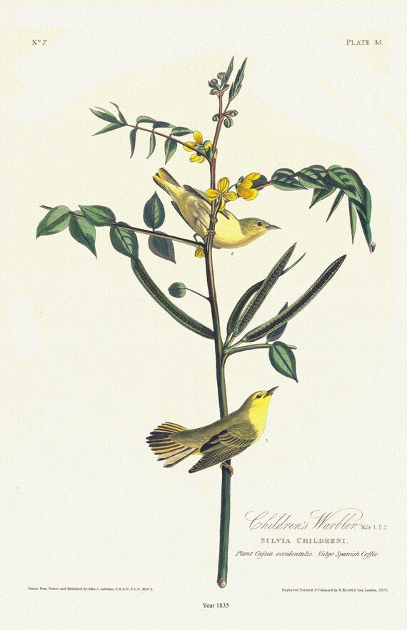 J.J. Audobon, Children's warbler. Male, 1. F. 2. Silvia childreni. Plant cassia occidentalis. Vulgo Spanish coffee, 1835, 20 x 25" approx.
$41.63
J.J. Audobon, Children's warbler. Male, 1. F. 2. Silvia childreni. Plant cassia occidentalis. Vulgo Spanish coffee, 1835, 20 x 25" approx.
$41.63
 E J.J. Audobon, Chestnut-backed titmouse. Black-capt titmouse. Chestnut-crowed titmouse., 1835, on canvas, 50 x 70 cm, 20 x 25" approx.
$41.63
E J.J. Audobon, Chestnut-backed titmouse. Black-capt titmouse. Chestnut-crowed titmouse., 1835, on canvas, 50 x 70 cm, 20 x 25" approx.
$41.63
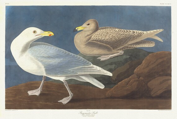 J.J. Audobon, Burgomaster gull. Larus glaucus, Brunnich. 1. Adult male. 2. Young first autumn, 1835 ,canvas, 50 x 70 cm, 20 x 25" approx.
$41.63
J.J. Audobon, Burgomaster gull. Larus glaucus, Brunnich. 1. Adult male. 2. Young first autumn, 1835 ,canvas, 50 x 70 cm, 20 x 25" approx.
$41.63
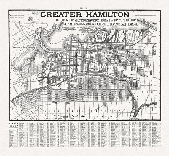 Hamilton, Ontario, 1913, map on heavy cotton canvas, 50 x 70 cm, 20 x 25" approx.
$41.63
Hamilton, Ontario, 1913, map on heavy cotton canvas, 50 x 70 cm, 20 x 25" approx.
$41.63
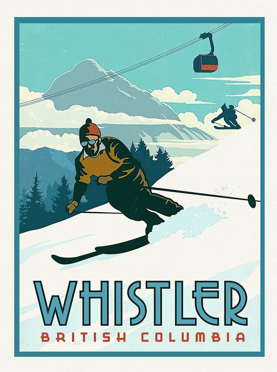 Ski Whistler, British Columbia Ver. I
$41.63
Ski Whistler, British Columbia Ver. I
$41.63
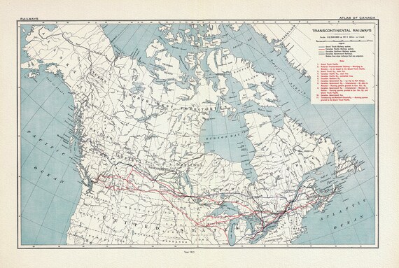 Transcontinental Railways, 1915, map on heavy cotton canvas, 22x27" approx.
$41.63
Transcontinental Railways, 1915, map on heavy cotton canvas, 22x27" approx.
$41.63
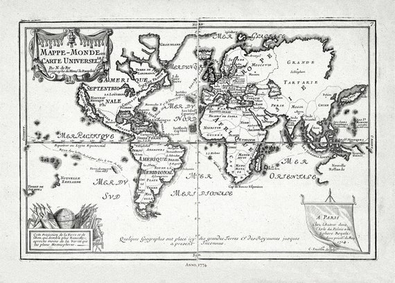 Fer, Mappe-monde, ou Carte Universelle, 1774 Ver. II ,Map on heavy cotton canvas, 22x27in. approx.
$41.63
Fer, Mappe-monde, ou Carte Universelle, 1774 Ver. II ,Map on heavy cotton canvas, 22x27in. approx.
$41.63
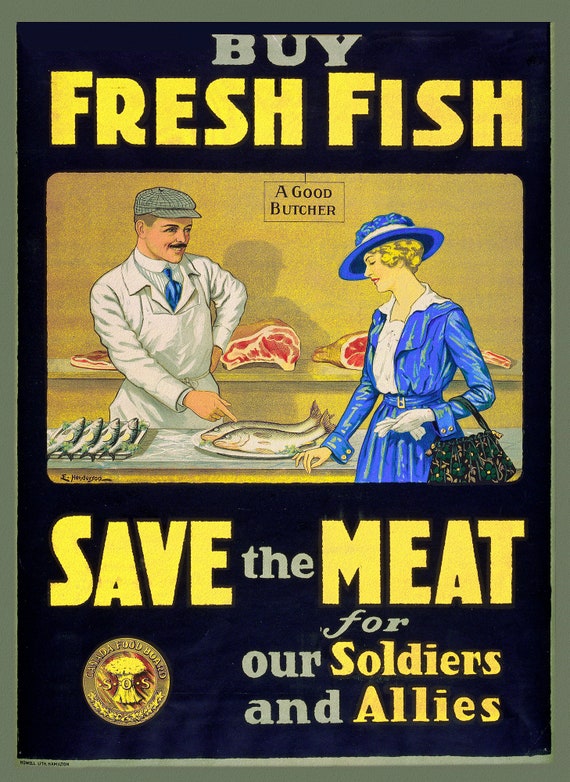 Canada WW I Poster, Buy Fresh Fish, save the meat for our soldiers and allies, 1914, on heavy canvas, 22x27" approx.
$41.63
Canada WW I Poster, Buy Fresh Fish, save the meat for our soldiers and allies, 1914, on heavy canvas, 22x27" approx.
$41.63