
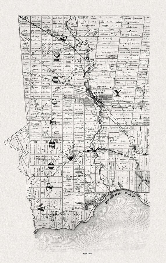
 Etobicoke, Toronto, 1860, Tremaine auth. , map on durable cotton canvas, 50 x 70 cm, 20 x 25" approx.
$41.63
Etobicoke, Toronto, 1860, Tremaine auth. , map on durable cotton canvas, 50 x 70 cm, 20 x 25" approx.
$41.63
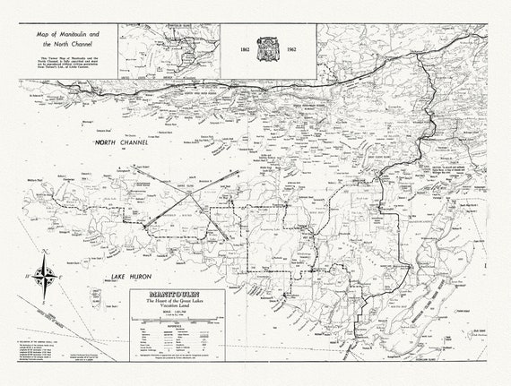 The Straits between Georgian Bay and Lake Superior, map on durable cotton canvas, 50 x 70 cm, 20 x 25" approx.
$41.63
The Straits between Georgian Bay and Lake Superior, map on durable cotton canvas, 50 x 70 cm, 20 x 25" approx.
$41.63
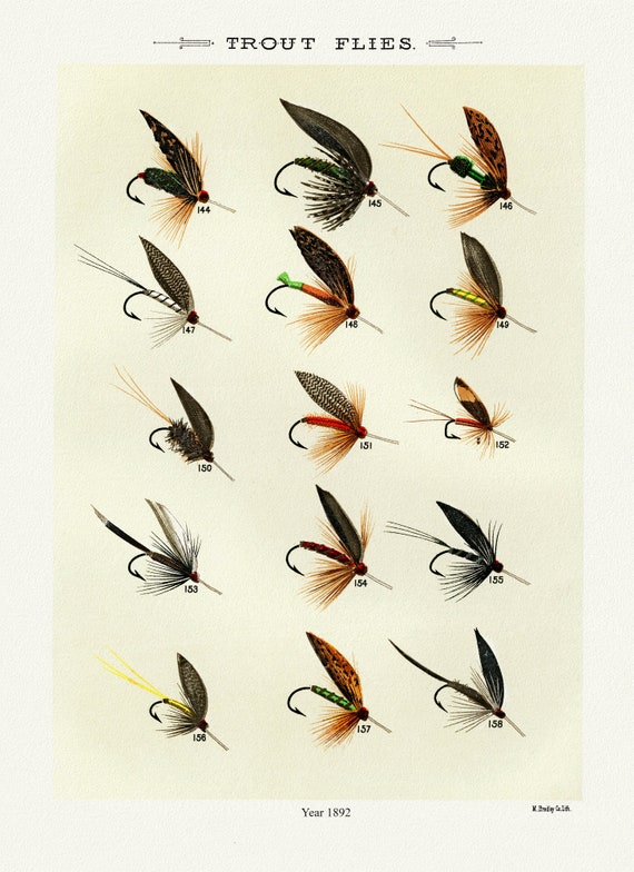 Trout Flies, 1892 by Mary Orvis Marbury, vintage nature print on canvas, 50 x 70 cm, 20 x 25" approx.
$41.63
Trout Flies, 1892 by Mary Orvis Marbury, vintage nature print on canvas, 50 x 70 cm, 20 x 25" approx.
$41.63
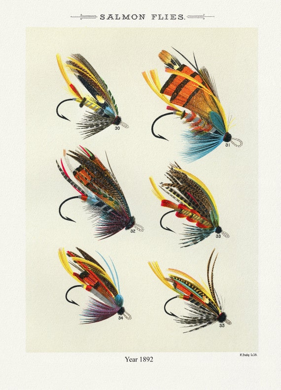 Salmon Flies, 1892 by Mary Orvis Marbury, vintage nature print on canvas, 50 x 70 cm, 20 x 25" approx.
$41.63
Salmon Flies, 1892 by Mary Orvis Marbury, vintage nature print on canvas, 50 x 70 cm, 20 x 25" approx.
$41.63
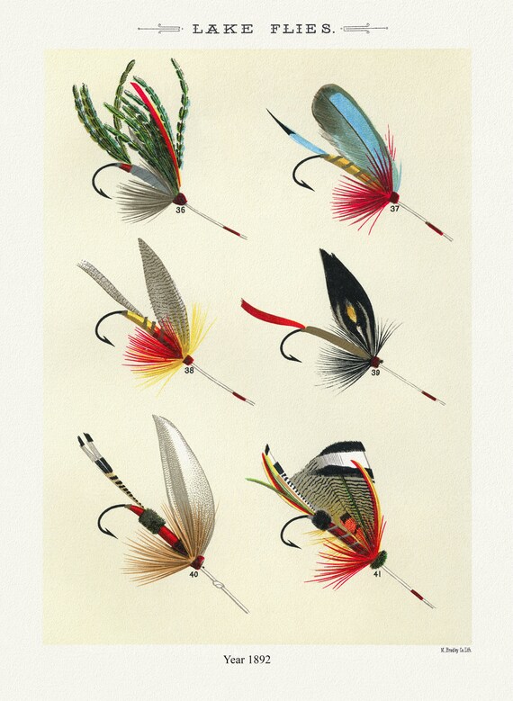 Lake Flies, 1892 by Mary Orvis Marbury , vintage nature print on canvas, 50 x 70 cm, 20 x 25" approx.
$41.63
Lake Flies, 1892 by Mary Orvis Marbury , vintage nature print on canvas, 50 x 70 cm, 20 x 25" approx.
$41.63
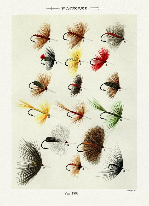 Hackles, 1892 by Mary Orvis Marbury , vintage nature print on canvas, 50 x 70 cm, 20 x 25" approx.
$41.63
Hackles, 1892 by Mary Orvis Marbury , vintage nature print on canvas, 50 x 70 cm, 20 x 25" approx.
$41.63
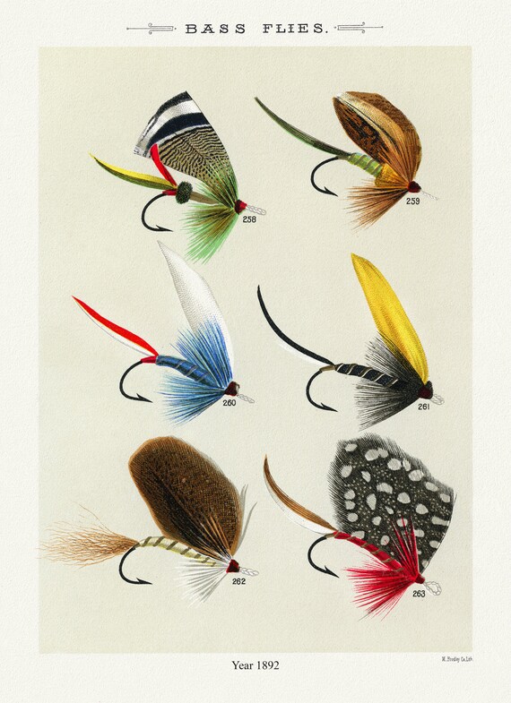 Bass Flies, 1892 Mary Orvis Marbury, vintage nature print on canvas, 50 x 70 cm, 20 x 25" approx.
$41.63
Bass Flies, 1892 Mary Orvis Marbury, vintage nature print on canvas, 50 x 70 cm, 20 x 25" approx.
$41.63
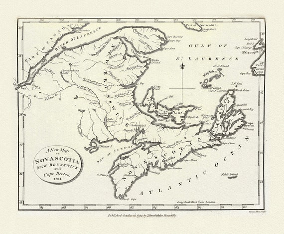 A New Map of Nova Scotia, New Brunswick and Cape Breton, 1794, on heavy cotton canvas, approx. 18x27"
$41.63
A New Map of Nova Scotia, New Brunswick and Cape Breton, 1794, on heavy cotton canvas, approx. 18x27"
$41.63
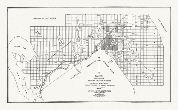 Sketch map showing location of mines in Coleman Township, parts of Townships of Lorrain and Bucke, 1954 , map on canvas, 20 x 25" approx.
$41.63
Sketch map showing location of mines in Coleman Township, parts of Townships of Lorrain and Bucke, 1954 , map on canvas, 20 x 25" approx.
$41.63
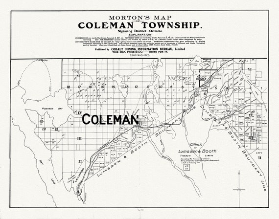 Morton's Map of Coleman Township, Nipissing District, Ontario, 1910
$41.63
Morton's Map of Coleman Township, Nipissing District, Ontario, 1910
$41.63
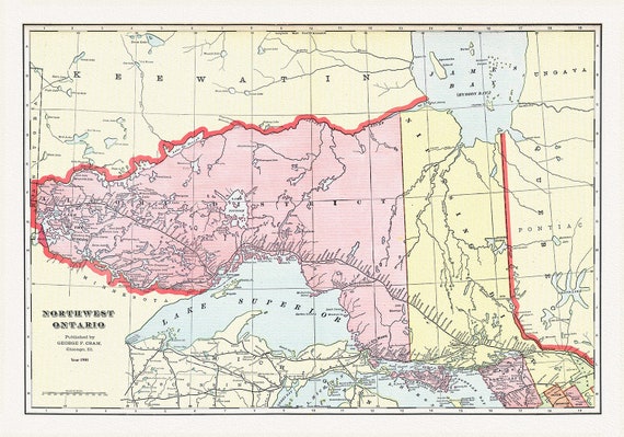 Northwest Ontario, Cram et Murray auths.,1901, map on heavy cotton canvas, 50 x 70cm, 20 x 25" approx.
$41.63
Northwest Ontario, Cram et Murray auths.,1901, map on heavy cotton canvas, 50 x 70cm, 20 x 25" approx.
$41.63
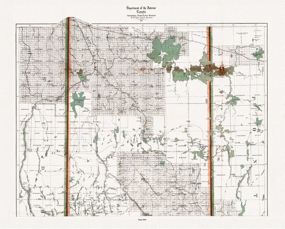 Mineral district, Northern Ontario, North Sheet, 1911 , map on heavy cotton canvas, 50 x 70cm, 20 x 25" approx.
$41.63
Mineral district, Northern Ontario, North Sheet, 1911 , map on heavy cotton canvas, 50 x 70cm, 20 x 25" approx.
$41.63
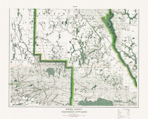 Mineral district, Northern Ontario, South Sheet, 1911, map on heavy cotton canvas, 50 x 70cm, 20 x 25" approx.
$41.63
Mineral district, Northern Ontario, South Sheet, 1911, map on heavy cotton canvas, 50 x 70cm, 20 x 25" approx.
$41.63
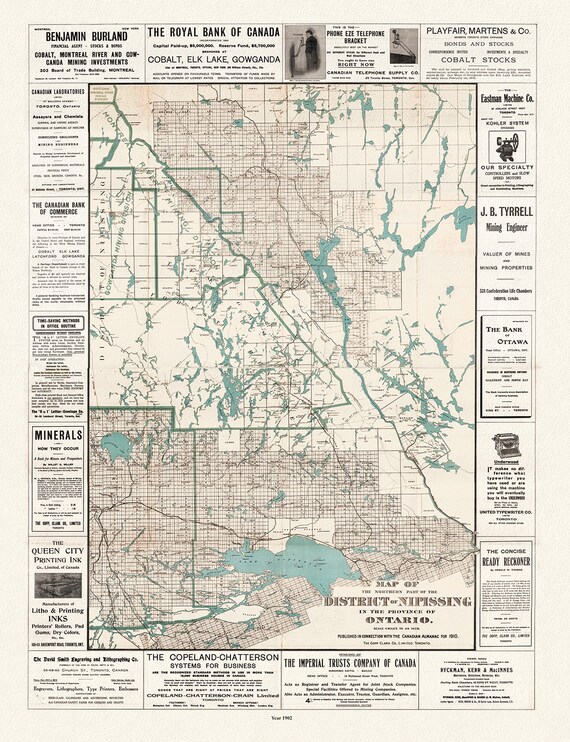
 Map of the northern part of the District of Nipissing in the province of Ontario, 1902 Ver. II , map on canvas, 50 x 70cm, 20 x 25" approx.
$41.63
Map of the northern part of the District of Nipissing in the province of Ontario, 1902 Ver. II , map on canvas, 50 x 70cm, 20 x 25" approx.
$41.63
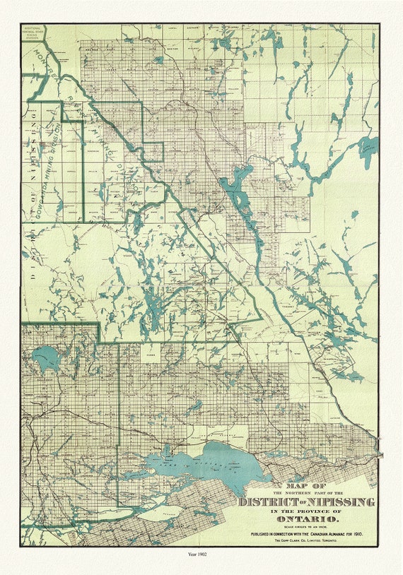
 Northern part of the District of Nipissing in the province of Ontario, 1902, map on heavy cotton canvas, 50 x 70cm, 20 x 25" approx.
$41.63
Northern part of the District of Nipissing in the province of Ontario, 1902, map on heavy cotton canvas, 50 x 70cm, 20 x 25" approx.
$41.63
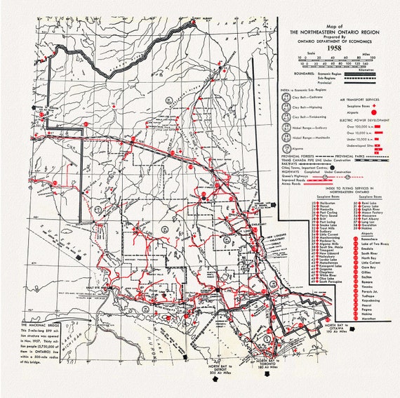 Map of the Northeastern Ontario Region, 1958, map on heavy cotton canvas, 50 x 70cm, 20 x 25" approx.
$41.63
Map of the Northeastern Ontario Region, 1958, map on heavy cotton canvas, 50 x 70cm, 20 x 25" approx.
$41.63
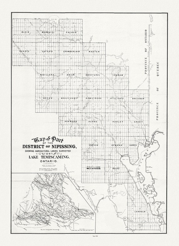 Map of part of the district of Nipissing showing agricultural lands surveyed on Lake Temiscaming, Ontario, 1901
$41.63
Map of part of the district of Nipissing showing agricultural lands surveyed on Lake Temiscaming, Ontario, 1901
$41.63
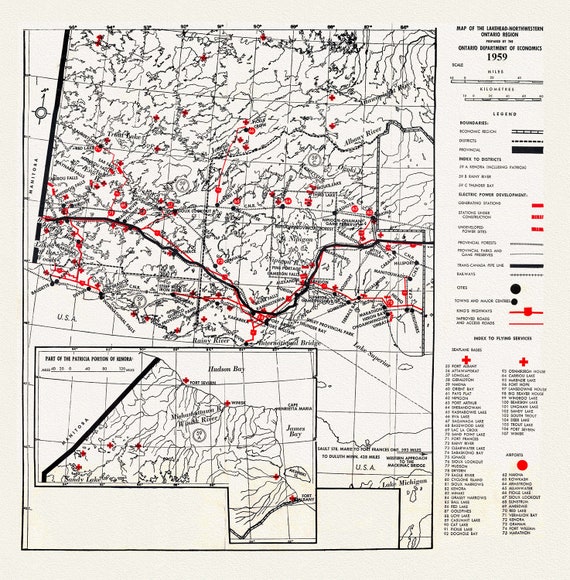 Map of the Lakehead, Northwestern Ontario Region, 1959, map on heavy cotton canvas, 50 x 70cm, 20 x 25" approx.
$41.63
Map of the Lakehead, Northwestern Ontario Region, 1959, map on heavy cotton canvas, 50 x 70cm, 20 x 25" approx.
$41.63
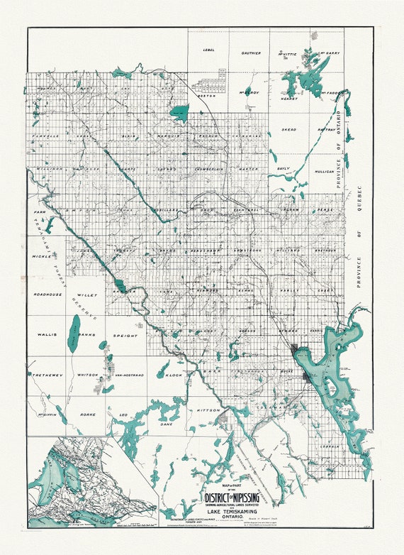 Map of part of the District of Nipissing showing Agricultural lands on Lake Temiskaming Ontario, 1907, map on canvas, 20 x 25" approx.
$41.63
Map of part of the District of Nipissing showing Agricultural lands on Lake Temiskaming Ontario, 1907, map on canvas, 20 x 25" approx.
$41.63
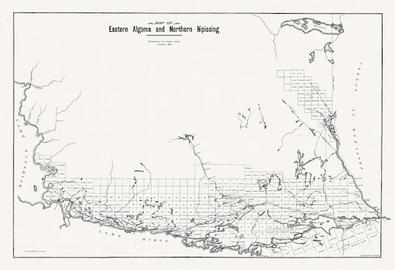 Map of Eastern Algoma and Northern Nipissing, 1901 , map on heavy cotton canvas, 50 x 70cm, 20 x 25" approx.
$41.63
Map of Eastern Algoma and Northern Nipissing, 1901 , map on heavy cotton canvas, 50 x 70cm, 20 x 25" approx.
$41.63