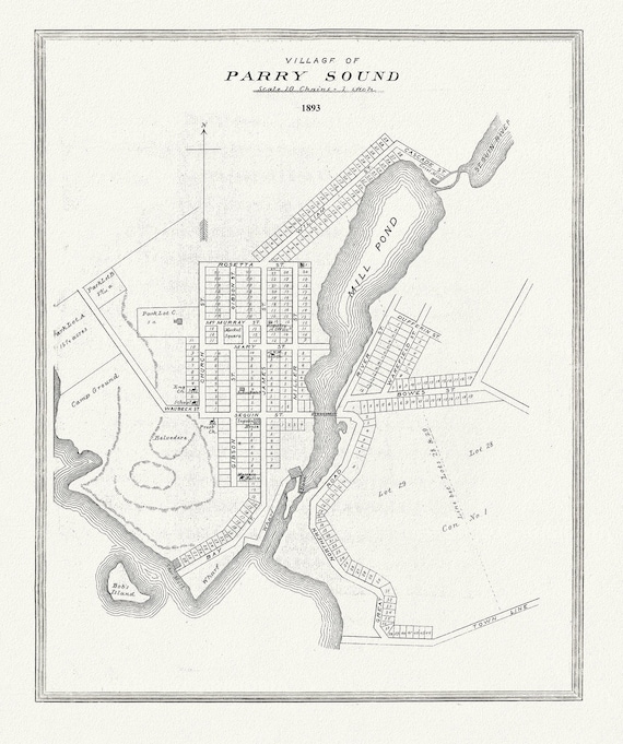
 Muskoka-Haliburton, Parry Sound Village, 1893, map on heavy cotton canvas, 20 x 25" approx.
$41.75
Muskoka-Haliburton, Parry Sound Village, 1893, map on heavy cotton canvas, 20 x 25" approx.
$41.75
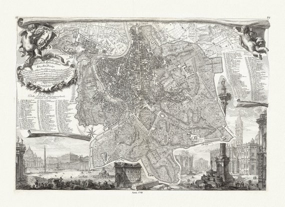 Noli & Piranesi, La topografia di Roma, 1748, map on heavy cotton canvas, 22x27" approx.
$41.75
Noli & Piranesi, La topografia di Roma, 1748, map on heavy cotton canvas, 22x27" approx.
$41.75
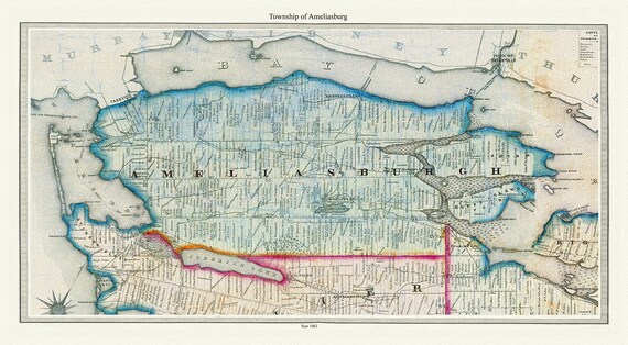 Township of Ameliasburg in Prince Edward County, Tremaine auth., 1863, map on heavy cotton canvas, 45 x 65 cm, 18 x 24" approx.
$41.75
Township of Ameliasburg in Prince Edward County, Tremaine auth., 1863, map on heavy cotton canvas, 45 x 65 cm, 18 x 24" approx.
$41.75
