
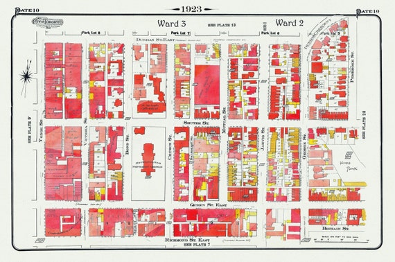
 Plate 10 Toronto Downtown East of Yonge, South of Dundas St., 1923, Map on heavy cotton canvas, 18x27in. approx.
$41.63
Plate 10 Toronto Downtown East of Yonge, South of Dundas St., 1923, Map on heavy cotton canvas, 18x27in. approx.
$41.63
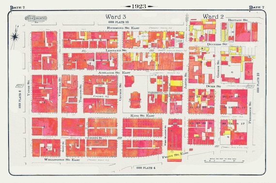 Plate 7, Toronto Downtown East, St. James Cathedral, Jarvis St.,1923, Map on heavy cotton canvas,18x27in. approx.
$41.63
Plate 7, Toronto Downtown East, St. James Cathedral, Jarvis St.,1923, Map on heavy cotton canvas,18x27in. approx.
$41.63
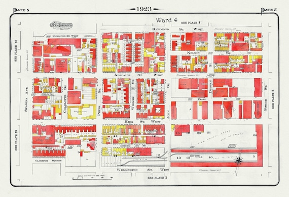 Plate 5, Toronto Downtown West, King & John Streets, 1923, Map on heavy cotton canvas,18x27in. approx.
$41.63
Plate 5, Toronto Downtown West, King & John Streets, 1923, Map on heavy cotton canvas,18x27in. approx.
$41.63
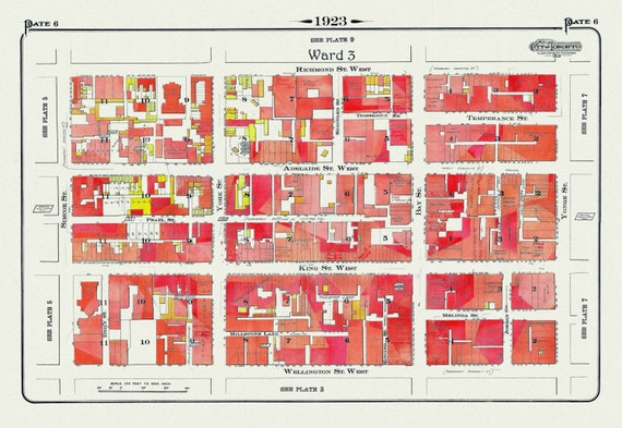 Plate 6, Toronto Downtown West, King & York Streets, 1923, Map on heavy cotton canvas,18x27in. approx.
$41.63
Plate 6, Toronto Downtown West, King & York Streets, 1923, Map on heavy cotton canvas,18x27in. approx.
$41.63
 Plate 5, Toronto Downtown West, King & John Streets, 1923, Map on heavy cotton canvas,18x27in. approx.
$41.63
Plate 5, Toronto Downtown West, King & John Streets, 1923, Map on heavy cotton canvas,18x27in. approx.
$41.63
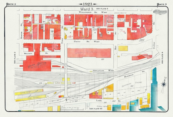 Plate 3, Toronto Downtown Waterfront, Union Station, 1923, Map on heavy cotton canvas, 22x27in. approx.
$41.63
Plate 3, Toronto Downtown Waterfront, Union Station, 1923, Map on heavy cotton canvas, 22x27in. approx.
$41.63
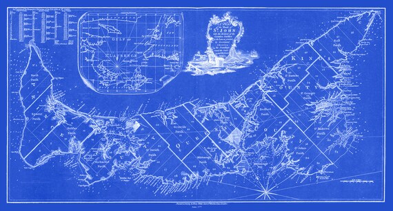 William Faden, A Plan of the island of St. John, 1777 Cyanotype, map on durable cotton canvas, 50 x 70 cm, 20 x 25" approx.
$41.63
William Faden, A Plan of the island of St. John, 1777 Cyanotype, map on durable cotton canvas, 50 x 70 cm, 20 x 25" approx.
$41.63
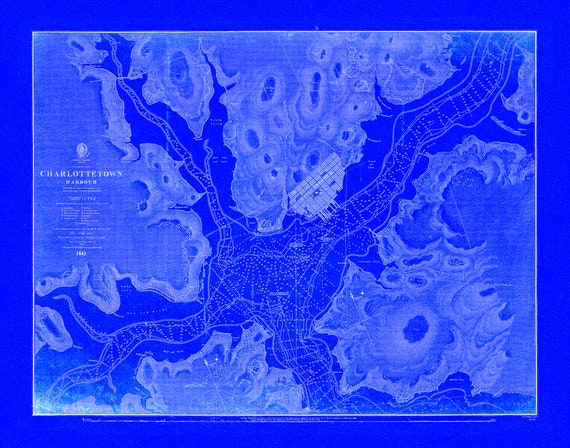 Nautical Chart, Prince Edward Island, Charlottetown Harbour, 1861 Cyanotype , map on durable cotton canvas, 50 x 70 cm, 20 x 25" approx.
$41.63
Nautical Chart, Prince Edward Island, Charlottetown Harbour, 1861 Cyanotype , map on durable cotton canvas, 50 x 70 cm, 20 x 25" approx.
$41.63
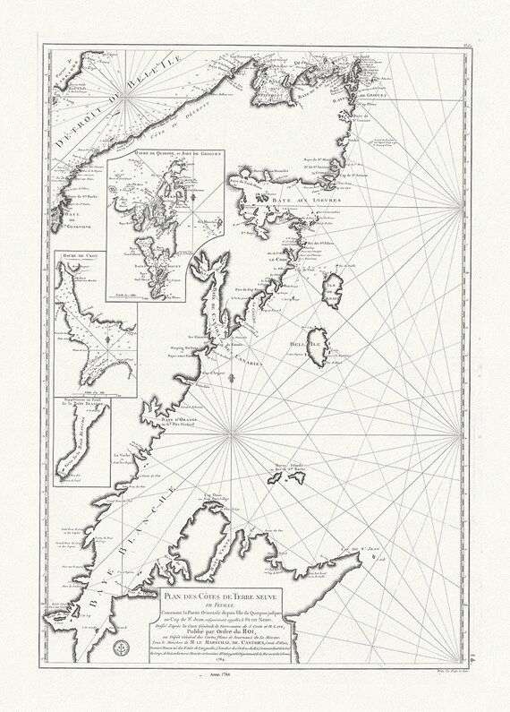 Plan des cotes de Terre-Neuve VII, 1784, Cook et Lane auths. map on durable cotton canvas, 50 x 70 cm, 20 x 25" approx.
$41.63
Plan des cotes de Terre-Neuve VII, 1784, Cook et Lane auths. map on durable cotton canvas, 50 x 70 cm, 20 x 25" approx.
$41.63
 Newfoundland, 1814, Purdie auth., map on durable cotton canvas, 50 x 70 cm, 20 x 25" approx.
$41.63
Newfoundland, 1814, Purdie auth., map on durable cotton canvas, 50 x 70 cm, 20 x 25" approx.
$41.63
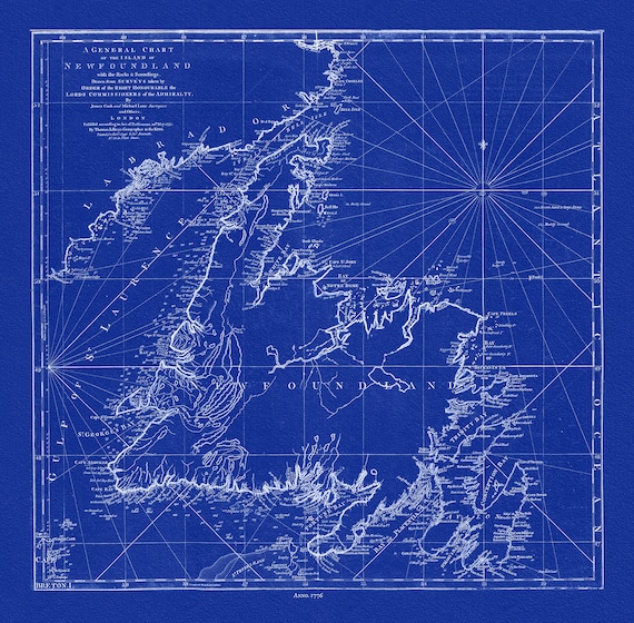 A General Chart Of The Island Of Newfoundland, 1776,Jefferys, auth., Cyanotype, map on durable cotton canvas, 50 x 70 cm, 20 x 25" approx.
$41.63
A General Chart Of The Island Of Newfoundland, 1776,Jefferys, auth., Cyanotype, map on durable cotton canvas, 50 x 70 cm, 20 x 25" approx.
$41.63
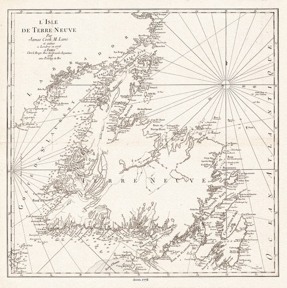 L'Isle de Terre-Neuve, 1778, Capt. Cook auth., map on durable cotton canvas, 50 x 70 cm, 20 x 25" approx.
$41.63
L'Isle de Terre-Neuve, 1778, Capt. Cook auth., map on durable cotton canvas, 50 x 70 cm, 20 x 25" approx.
$41.63
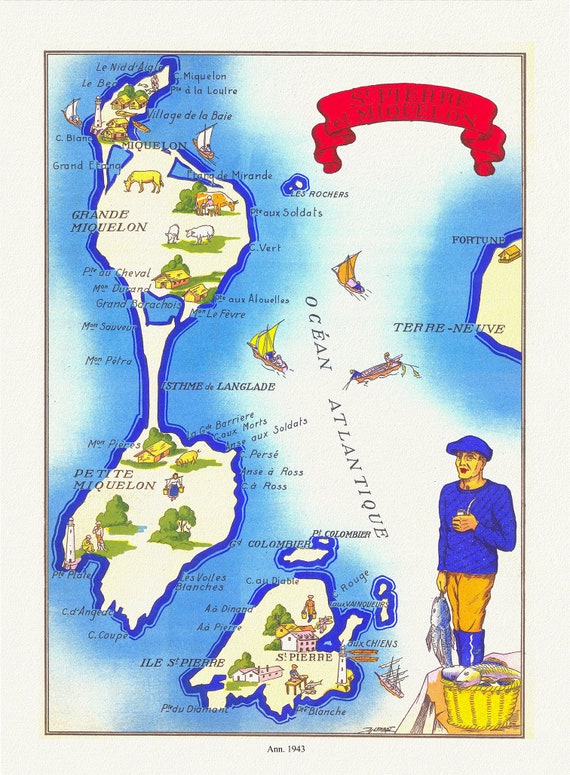 St Pierre et Miquelon, 1943, map on durable cotton canvas, 50 x 70 cm, 20 x 25" approx.
$41.63
St Pierre et Miquelon, 1943, map on durable cotton canvas, 50 x 70 cm, 20 x 25" approx.
$41.63
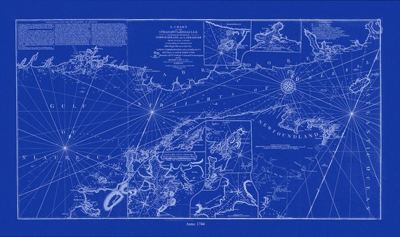 A chart of the Straights of Bell Isle with part of the coast of Newfoundland and Labradore, 1744, Cyanotype Ver. II, canvas, 50 x 70 cm
$41.63
A chart of the Straights of Bell Isle with part of the coast of Newfoundland and Labradore, 1744, Cyanotype Ver. II, canvas, 50 x 70 cm
$41.63
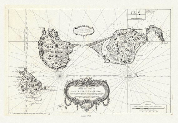 Carte des les Saint Pierre et Miquelon, 1763, Bellin auth. , map on durable cotton canvas, 50 x 70 cm, 20 x 25" approx.
$41.63
Carte des les Saint Pierre et Miquelon, 1763, Bellin auth. , map on durable cotton canvas, 50 x 70 cm, 20 x 25" approx.
$41.63
 l'Isle St. Pierre,Plan de la rade et port, 1764, Bellin auth., Cyanotype
$41.63
l'Isle St. Pierre,Plan de la rade et port, 1764, Bellin auth., Cyanotype
$41.63
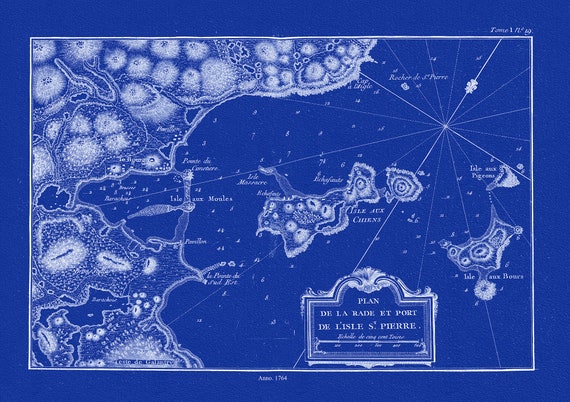
 l'Isle St. Pierre,Plan de la rade et port, 1764, Bellin auth. , map on durable cotton canvas, 50 x 70 cm, 20 x 25" approx.
$41.63
l'Isle St. Pierre,Plan de la rade et port, 1764, Bellin auth. , map on durable cotton canvas, 50 x 70 cm, 20 x 25" approx.
$41.63
 Carte des les Saint Pierre et Miquelon, 1763, Bellin auth., Cyanotype, map on durable cotton canvas, 50 x 70 cm, 20 x 25" approx.
$41.63
Carte des les Saint Pierre et Miquelon, 1763, Bellin auth., Cyanotype, map on durable cotton canvas, 50 x 70 cm, 20 x 25" approx.
$41.63
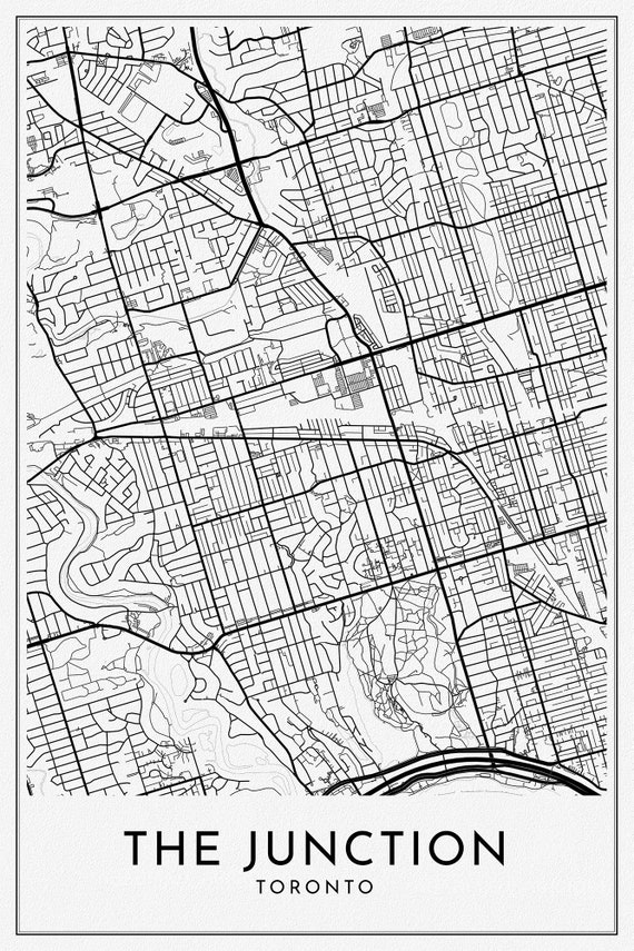 The Junction, A Modern Map Ver. II, on durable cotton canvas, 50 x 70 cm or 20x25" approx.
$41.63
The Junction, A Modern Map Ver. II, on durable cotton canvas, 50 x 70 cm or 20x25" approx.
$41.63
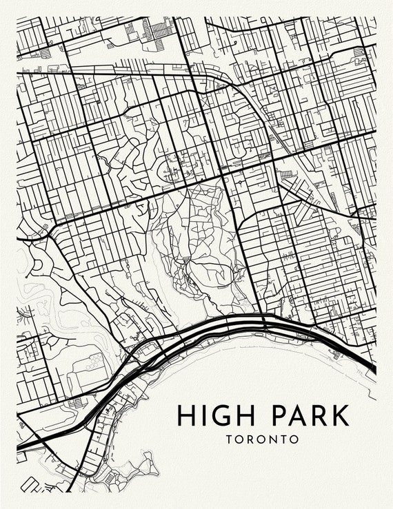 High Park, A Modern Map Ver. II, on durable cotton canvas, 50 x 70 cm, 20 x 25" approx.
$41.63
High Park, A Modern Map Ver. II, on durable cotton canvas, 50 x 70 cm, 20 x 25" approx.
$41.63