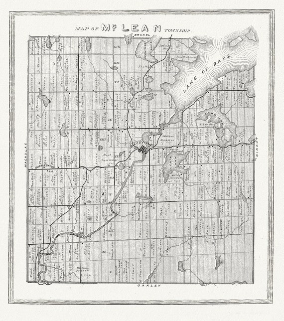
 Muskoka-Haliburton, McLean Township, 1893, map on heavy cotton canvas, 20 x 25" approx.
$41.48
Muskoka-Haliburton, McLean Township, 1893, map on heavy cotton canvas, 20 x 25" approx.
$41.48
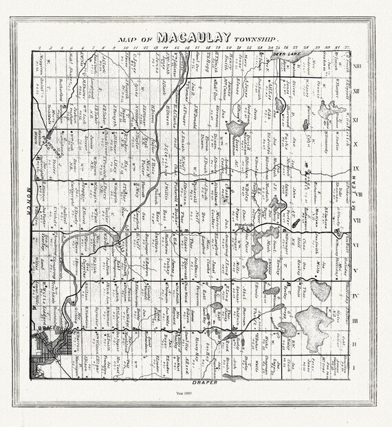 Muskoka-Haliburton, Macauley Township, 1893, map on heavy cotton canvas, 20 x 25" approx.
$41.48
Muskoka-Haliburton, Macauley Township, 1893, map on heavy cotton canvas, 20 x 25" approx.
$41.48
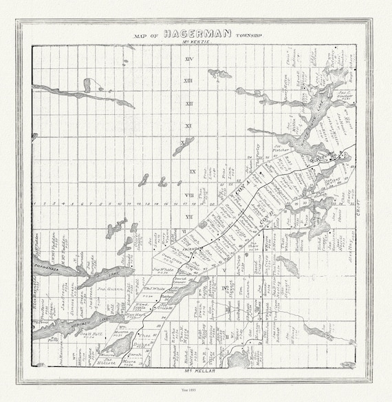 Muskoka-Haliburton, Hagerman Township, 1893, map on heavy cotton canvas, 20 x 25" approx.
$41.48
Muskoka-Haliburton, Hagerman Township, 1893, map on heavy cotton canvas, 20 x 25" approx.
$41.48
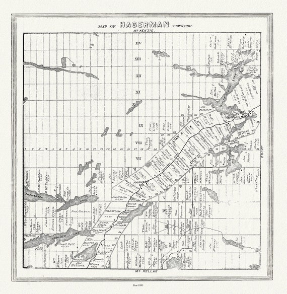 Muskoka-Haliburton, Hagerman Township, 1893 , map on heavy cotton canvas, 20 x 25" approx.
$41.48
Muskoka-Haliburton, Hagerman Township, 1893 , map on heavy cotton canvas, 20 x 25" approx.
$41.48
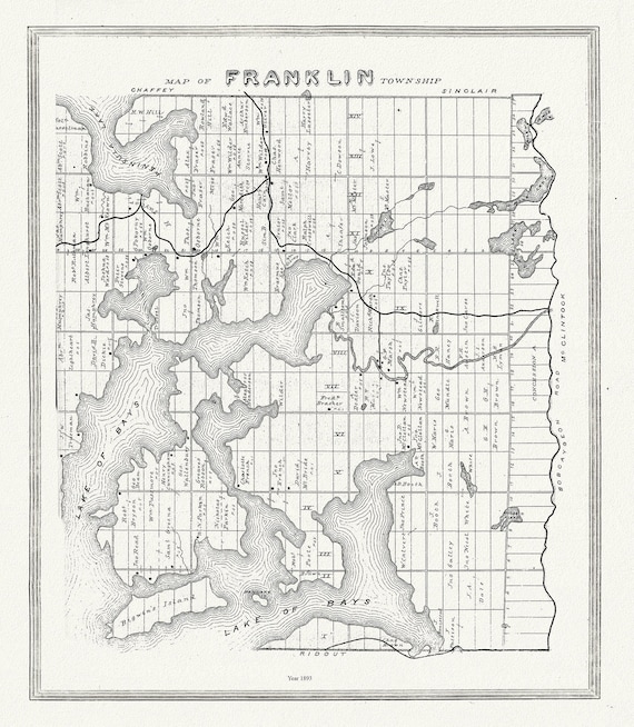 Muskoka-Haliburton, Franklin Township, 1893, map on heavy cotton canvas, 20 x 25" approx.
$41.48
Muskoka-Haliburton, Franklin Township, 1893, map on heavy cotton canvas, 20 x 25" approx.
$41.48
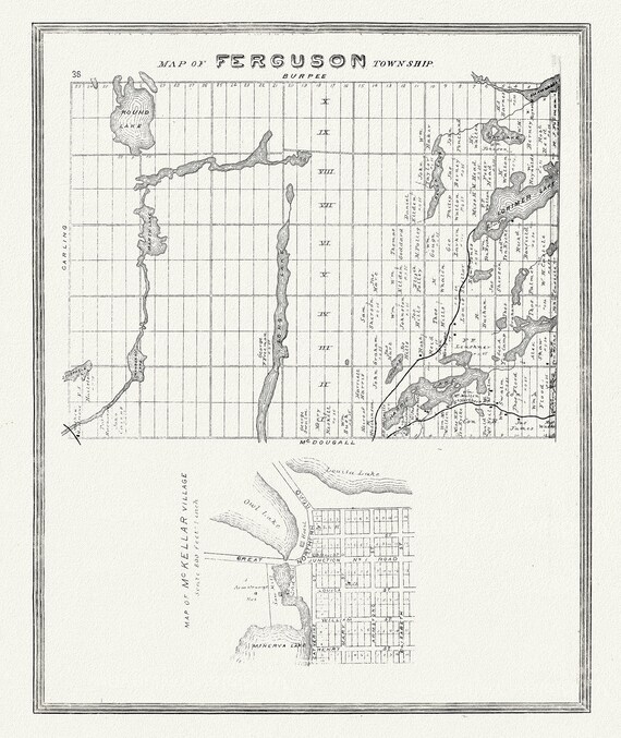 Muskoka-Haliburton, Ferguson Township, 1893, map on heavy cotton canvas, 20 x 25" approx.
$41.48
Muskoka-Haliburton, Ferguson Township, 1893, map on heavy cotton canvas, 20 x 25" approx.
$41.48
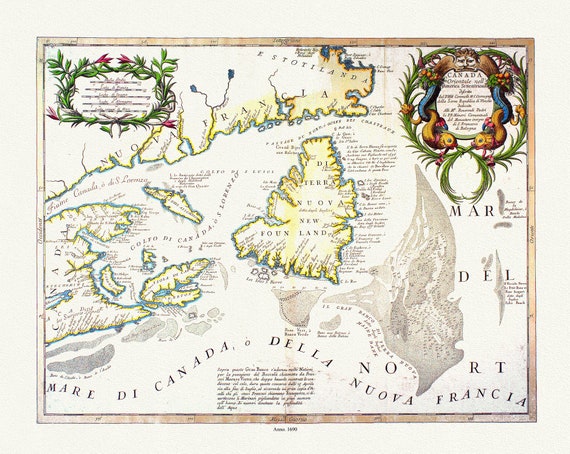 Coronelli, Canada Orientale Nell' America Settentrionale, 1690, map on heavy cotton canvas, 22x27" approx.
$41.48
Coronelli, Canada Orientale Nell' America Settentrionale, 1690, map on heavy cotton canvas, 22x27" approx.
$41.48
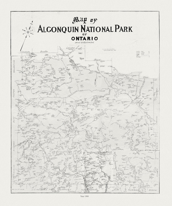 Historic Algonquin Park Map, auth. Dr. Bell, 1908 , map on heavy cotton canvas, 20x27" approx.
$33.94
Historic Algonquin Park Map, auth. Dr. Bell, 1908 , map on heavy cotton canvas, 20x27" approx.
$33.94
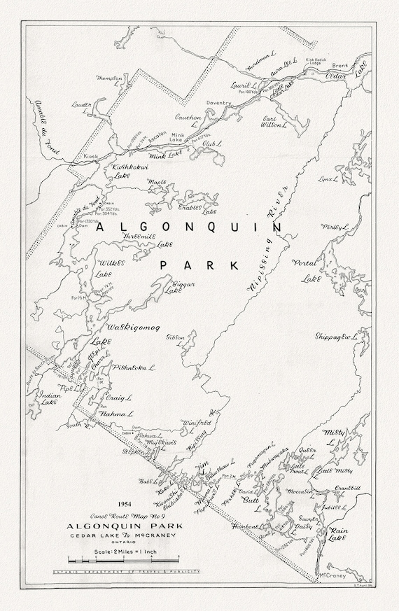 Canoe Route Map No. 9, Algonquin Park, 1954 , map on heavy cotton canvas, 22x27" approx.
$41.48
Canoe Route Map No. 9, Algonquin Park, 1954 , map on heavy cotton canvas, 22x27" approx.
$41.48
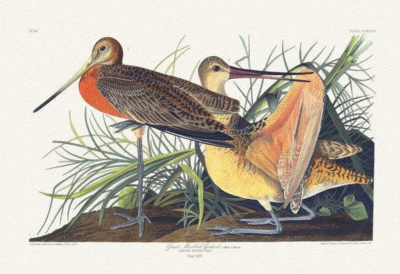 J.J. Audubon, Great marbled godwit. Limosa fedoa, Vieill, 1835, vintage nature print on canvas, 50 x 70 cm, 20 x 25" approx.
$41.48
J.J. Audubon, Great marbled godwit. Limosa fedoa, Vieill, 1835, vintage nature print on canvas, 50 x 70 cm, 20 x 25" approx.
$41.48
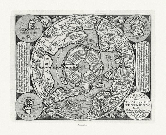 Polus Arcticus, 1600, ,map on heavy cotton canvas, 22x27" approx.
$41.48
Polus Arcticus, 1600, ,map on heavy cotton canvas, 22x27" approx.
$41.48
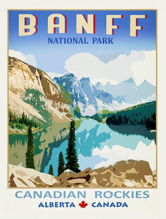 Banf Canadian Rockies, Alberta , vintage poster on heavy cotton canvas, 20x25" approx.
$41.48
Banf Canadian Rockies, Alberta , vintage poster on heavy cotton canvas, 20x25" approx.
$41.48
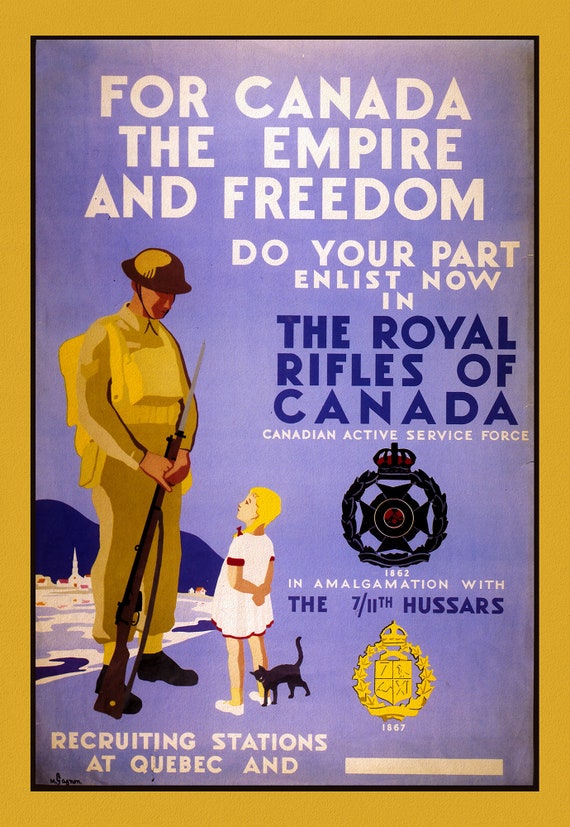 Royal Rifles of Canada, Canada WW I Poster, on heavy cotton canvas, 22x27" approx.
$41.48
Royal Rifles of Canada, Canada WW I Poster, on heavy cotton canvas, 22x27" approx.
$41.48
 Ontario, Canada, Taintor Brothers & Merrill auth., 1874
$41.48
Ontario, Canada, Taintor Brothers & Merrill auth., 1874
$41.48
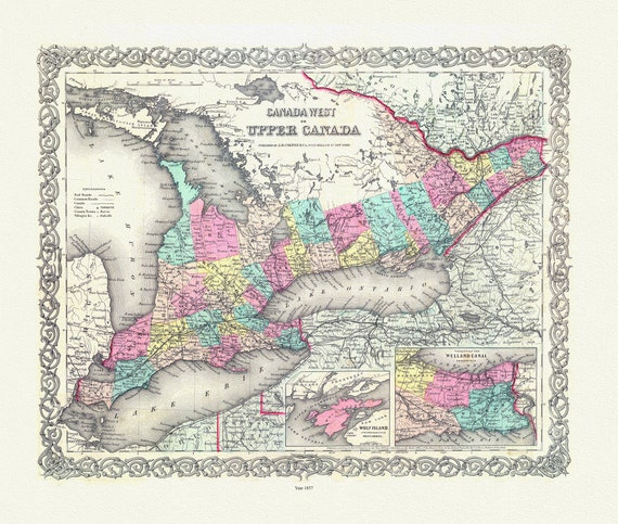 EOntario: Upper Canada. 1857
$41.48
EOntario: Upper Canada. 1857
$41.48
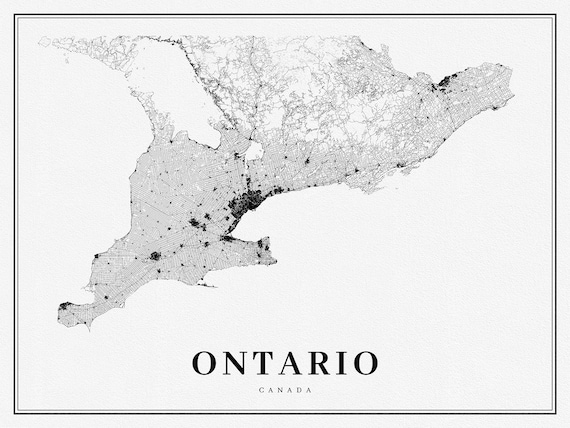 Southern Ontario, A Modern Map, on heavy cotton canvas, 50 x 70 cm, 20 x 25" approx.
$41.48
Southern Ontario, A Modern Map, on heavy cotton canvas, 50 x 70 cm, 20 x 25" approx.
$41.48
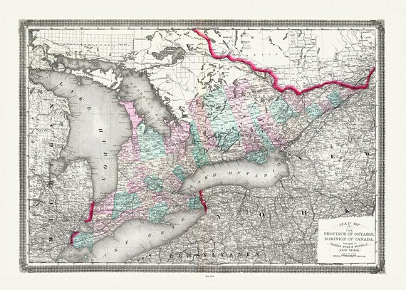
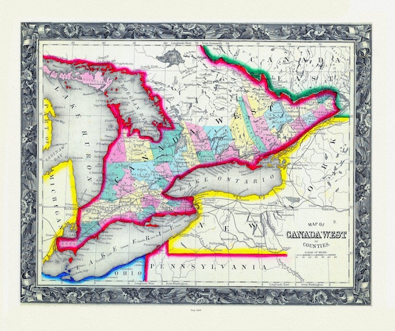 Map Of Canada West, In Counties, 1860
$41.48
Map Of Canada West, In Counties, 1860
$41.48
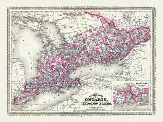 Ontario of the Dominion of Canada, Johnson auth., 1874 , map on heavy cotton canvas, 50 x 70 cm, 20 x 25" approx.
$41.48
Ontario of the Dominion of Canada, Johnson auth., 1874 , map on heavy cotton canvas, 50 x 70 cm, 20 x 25" approx.
$41.48
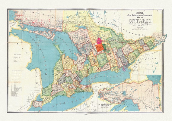 Penson, A New Railway and Commercial Map of Ontario,1887 Ver. II , map on heavy cotton canvas, 50 x 70 cm, 20 x 25" approx.
$41.48
Penson, A New Railway and Commercial Map of Ontario,1887 Ver. II , map on heavy cotton canvas, 50 x 70 cm, 20 x 25" approx.
$41.48
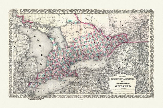 Colton, The Dominion of Canada No. 2., The Province of Ontario, Colton, 1880, map on heavy cotton canvas, 50 x 70 cm, 20 x 25" approx.
$41.48
Colton, The Dominion of Canada No. 2., The Province of Ontario, Colton, 1880, map on heavy cotton canvas, 50 x 70 cm, 20 x 25" approx.
$41.48