 Northwest Adventure, Canadian Pacific, travel poster on heavy cotton canvas, 50 x 70 cm, 20 x 22" approx.
$41.32
Northwest Adventure, Canadian Pacific, travel poster on heavy cotton canvas, 50 x 70 cm, 20 x 22" approx.
$41.32
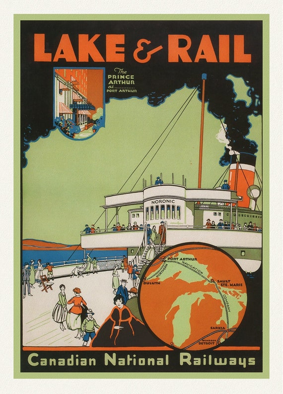 Canadian National Railways, Lake & Rail, 1927, travel poster on heavy cotton canvas, 50 x 70 cm, 20 x 25" approx.
$41.32
Canadian National Railways, Lake & Rail, 1927, travel poster on heavy cotton canvas, 50 x 70 cm, 20 x 25" approx.
$41.32
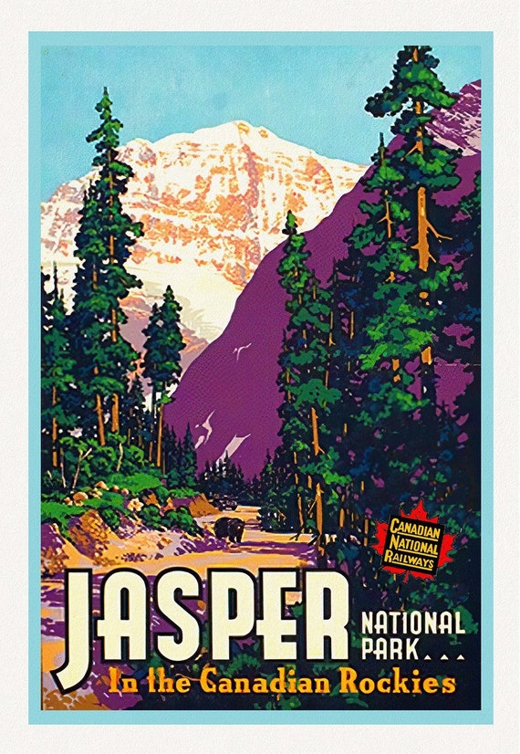 Jasper National Park, in the Canadian Rockies
$41.32
Jasper National Park, in the Canadian Rockies
$41.32
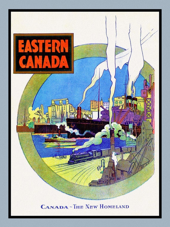 Eastern Canada, The New Homeland, travel poster on heavy cotton canvas, 50 x 70 cm, 20 x 25" approx.
$41.32
Eastern Canada, The New Homeland, travel poster on heavy cotton canvas, 50 x 70 cm, 20 x 25" approx.
$41.32
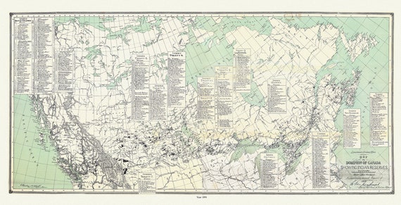 Map of the Dominion of Canada, showing Indian reserves, 1891,, vintage map reprinted on durable cotton canvas, 16 x 30" approx.
$41.32
Map of the Dominion of Canada, showing Indian reserves, 1891,, vintage map reprinted on durable cotton canvas, 16 x 30" approx.
$41.32
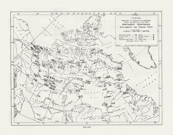 Northwest Territories ,Settlements and Trading Posts, 1952, map on durable cotton canvas, 50 x 70 cm, 20 x 25" approx.
$41.32
Northwest Territories ,Settlements and Trading Posts, 1952, map on durable cotton canvas, 50 x 70 cm, 20 x 25" approx.
$41.32
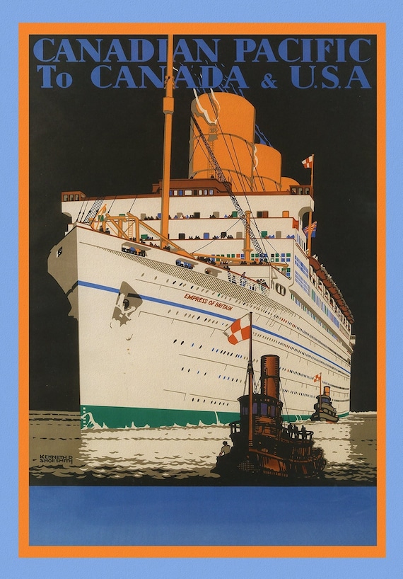 Canadian Pacific to Canada & USA, 1933, travel poster on heavy cotton canvas, 50 x 70 cm, 20 x 25" approx.
$41.32
Canadian Pacific to Canada & USA, 1933, travel poster on heavy cotton canvas, 50 x 70 cm, 20 x 25" approx.
$41.32
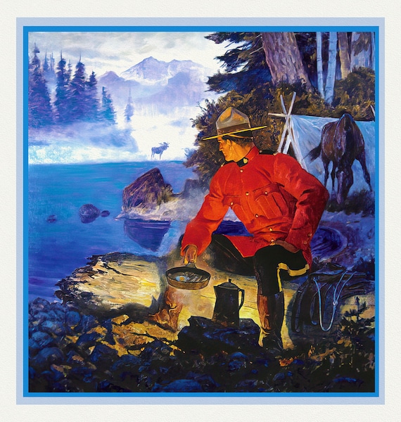 RCMP, Maintain The Right, Ver. XII, poster on heavy cotton canvas, 50 x 70 cm, 20 x 25" approx.
$41.32
RCMP, Maintain The Right, Ver. XII, poster on heavy cotton canvas, 50 x 70 cm, 20 x 25" approx.
$41.32
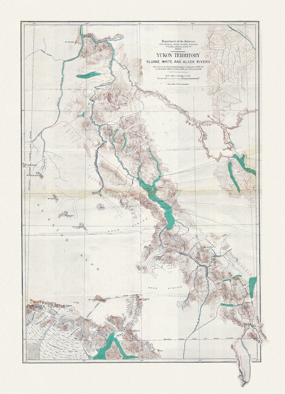 Yukon Territory, 1905, Map on heavy cotton canvas, 27x22" approx.
$41.32
Yukon Territory, 1905, Map on heavy cotton canvas, 27x22" approx.
$41.32
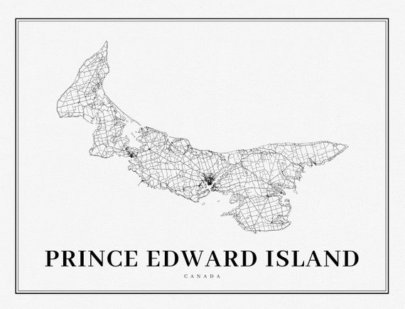 PEI: Prince Edward Island, A Modern Map
$41.32
PEI: Prince Edward Island, A Modern Map
$41.32
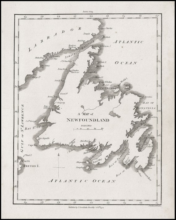 A Map of Newfoundland, Stockdale auth., 1794, map on heavy cotton canvas, 50 x 70 cm, 20 x 25" approx.
$41.32
A Map of Newfoundland, Stockdale auth., 1794, map on heavy cotton canvas, 50 x 70 cm, 20 x 25" approx.
$41.32
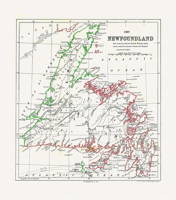 Newfoundland: A Comparison of British and French Fishing rights, Johnston auth., 1885 ,on heavy cotton canvas, 50 x 70 cm, 20 x 25" approx.
$41.32
Newfoundland: A Comparison of British and French Fishing rights, Johnston auth., 1885 ,on heavy cotton canvas, 50 x 70 cm, 20 x 25" approx.
$41.32
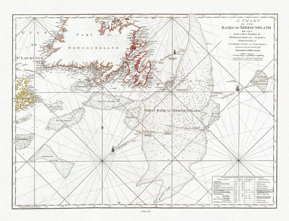 Jefferys, A Chart Of The Banks Of Newfoundland, 1776 , map on heavy cotton canvas, 50 x 70 cm, 20 x 25" approx.
$41.32
Jefferys, A Chart Of The Banks Of Newfoundland, 1776 , map on heavy cotton canvas, 50 x 70 cm, 20 x 25" approx.
$41.32
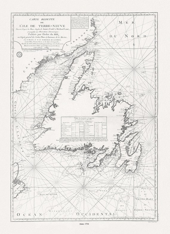 Isle de Terre-Neuve, Lane et Cook, 1784 , map on heavy cotton canvas, 50 x 70 cm, 20 x 25" approx.
$41.32
Isle de Terre-Neuve, Lane et Cook, 1784 , map on heavy cotton canvas, 50 x 70 cm, 20 x 25" approx.
$41.32
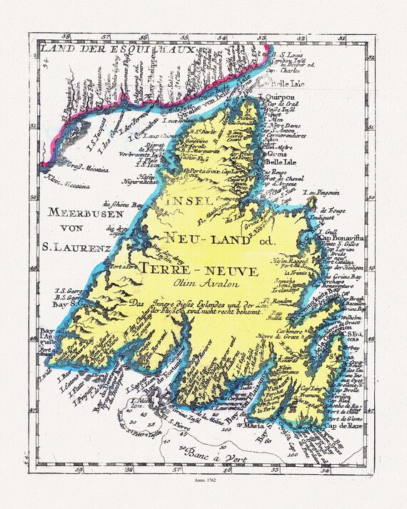 Newfoundland: Insel Neu Land od. Terre Neuve olirn Avalon, 1762 , map on heavy cotton canvas, 50 x 70 cm, 20 x 25" approx.
$41.32
Newfoundland: Insel Neu Land od. Terre Neuve olirn Avalon, 1762 , map on heavy cotton canvas, 50 x 70 cm, 20 x 25" approx.
$41.32
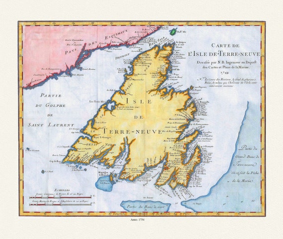 Carte de l'Isle de Terre-Neuve, Bellin auth.,1744 , map on heavy cotton canvas, 50 x 70 cm, 20 x 25" approx.
$41.32
Carte de l'Isle de Terre-Neuve, Bellin auth.,1744 , map on heavy cotton canvas, 50 x 70 cm, 20 x 25" approx.
$41.32
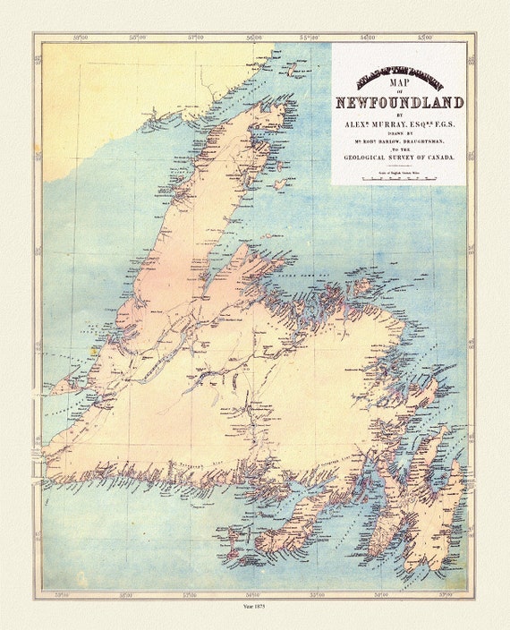 Atlas of the Dominion map of Newfoundland, Murray auth., 1875, map on heavy cotton canvas, 50 x 70 cm, 20 x 25" approx.
$41.32
Atlas of the Dominion map of Newfoundland, Murray auth., 1875, map on heavy cotton canvas, 50 x 70 cm, 20 x 25" approx.
$41.32
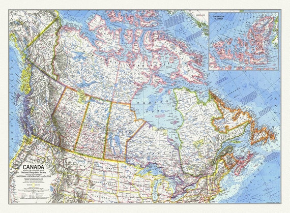 Canada, National Geographic, 1972, map on heavy cotton canvas, 50 x 70 cm, 21 x 25" approx.
$41.32
Canada, National Geographic, 1972, map on heavy cotton canvas, 50 x 70 cm, 21 x 25" approx.
$41.32
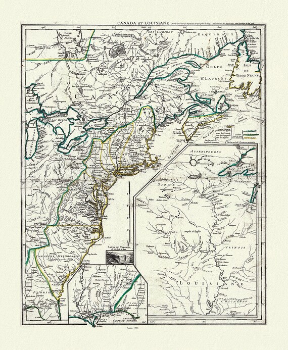 LaRouge, Canada et Louisiana, 1793, map on heavy cotton canvas, 50 x 70 cm, 20 x 25" approx.
$41.32
LaRouge, Canada et Louisiana, 1793, map on heavy cotton canvas, 50 x 70 cm, 20 x 25" approx.
$41.32
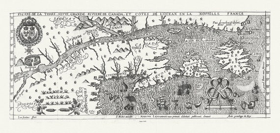 Figure de la Terre Neuve, le grande riviere de Canada, et côtes de l'ocean en la Nouvelle France, Les Carbot auth.,1609, 20 x 25" approx.
$41.32
Figure de la Terre Neuve, le grande riviere de Canada, et côtes de l'ocean en la Nouvelle France, Les Carbot auth.,1609, 20 x 25" approx.
$41.32