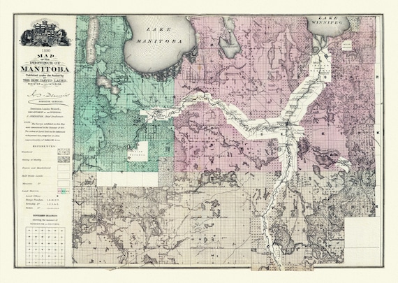
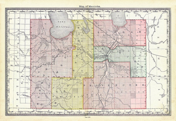
 Meacham et Allan, Province of Manitoba, 1880, map on heavy cotton canvas, 22x27" approx.
$41.48
Meacham et Allan, Province of Manitoba, 1880, map on heavy cotton canvas, 22x27" approx.
$41.48
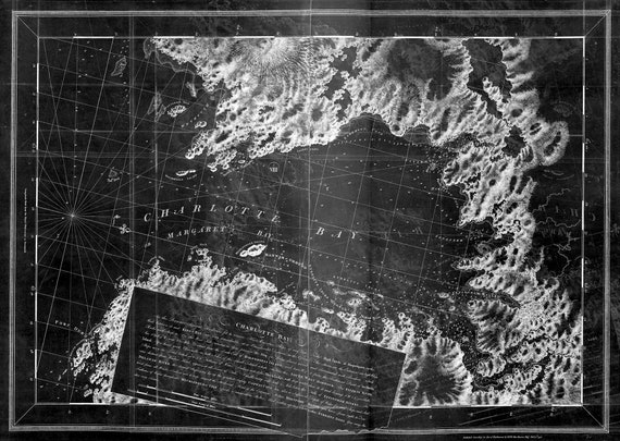 Des Barres, The Sea Coast of Nova Scotia-Charlotte Bay-1777, map on durable cotton canvas, 50 x 70 cm, 20 x 25" approx.
$41.48
Des Barres, The Sea Coast of Nova Scotia-Charlotte Bay-1777, map on durable cotton canvas, 50 x 70 cm, 20 x 25" approx.
$41.48
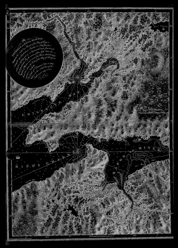
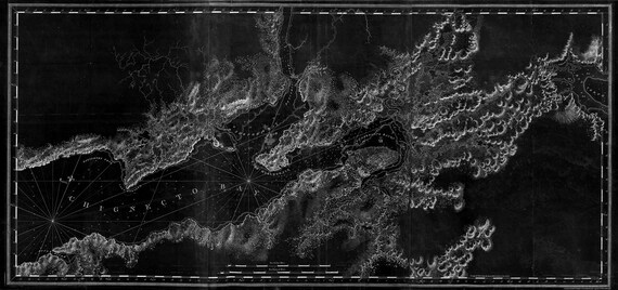 Des Barres, The Sea Coast of Nova Scotia-Chignecto Bay-1777, map on durable cotton canvas, 50 x 70 cm, 20 x 25" approx.
$41.48
Des Barres, The Sea Coast of Nova Scotia-Chignecto Bay-1777, map on durable cotton canvas, 50 x 70 cm, 20 x 25" approx.
$41.48
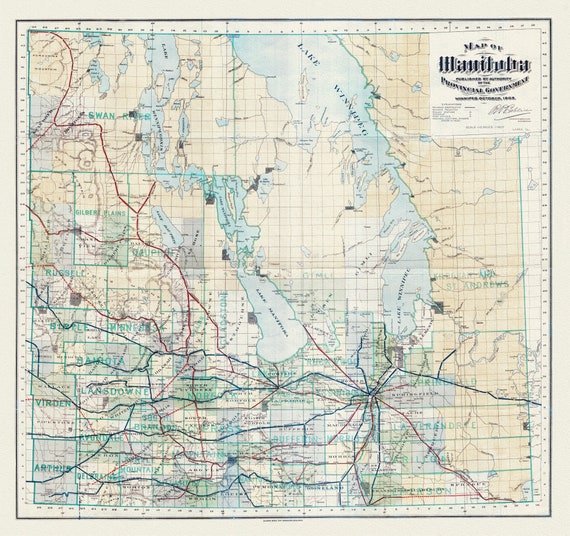 Map of Manitoba published by the authority of the Provincial Government, 1903, map on heavy cotton canvas, 22x27" approx.
$41.48
Map of Manitoba published by the authority of the Provincial Government, 1903, map on heavy cotton canvas, 22x27" approx.
$41.48
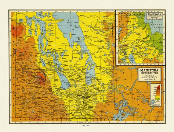 Manitoba, 1947 , map on heavy cotton canvas, 22x27" approx.
$41.48
Manitoba, 1947 , map on heavy cotton canvas, 22x27" approx.
$41.48
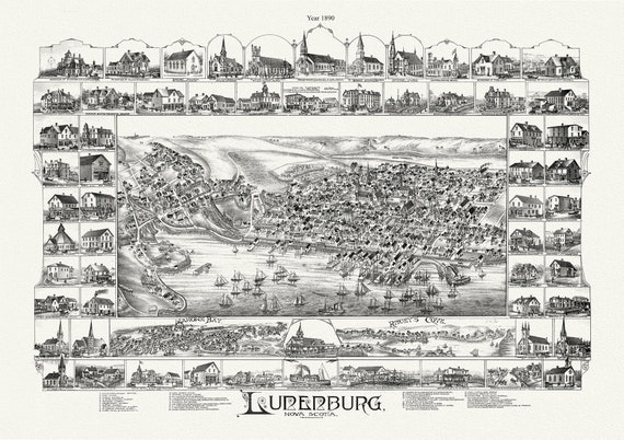 Lunenburg, Nova Scotia, A Bird's Eye View, 1890 , map on durable cotton canvas, 50 x 70 cm, 20 x 25" approx.
$41.48
Lunenburg, Nova Scotia, A Bird's Eye View, 1890 , map on durable cotton canvas, 50 x 70 cm, 20 x 25" approx.
$41.48
 The isthmus of Nova Scotia.Halifax.1780 Ver. BWI , map on durable cotton canvas, 50 x 70 cm, 20 x 25" approx.
$41.48
The isthmus of Nova Scotia.Halifax.1780 Ver. BWI , map on durable cotton canvas, 50 x 70 cm, 20 x 25" approx.
$41.48
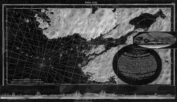 Des Barres, Halifax Harbour, 1779 Ver. BWI , map on durable cotton canvas, 50 x 70 cm, 20 x 25" approx.
$41.48
Des Barres, Halifax Harbour, 1779 Ver. BWI , map on durable cotton canvas, 50 x 70 cm, 20 x 25" approx.
$41.48
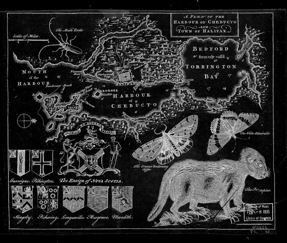 A plan of the harbour of Chebucto and town of Halifax.1750 Ver. BW! , map on durable cotton canvas, 50 x 70 cm, 20 x 25" approx.
$41.48
A plan of the harbour of Chebucto and town of Halifax.1750 Ver. BW! , map on durable cotton canvas, 50 x 70 cm, 20 x 25" approx.
$41.48
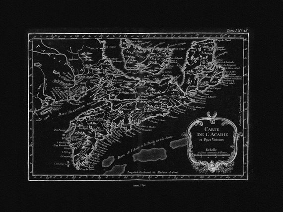 Bellin, Carte De L'Acadie et Pays Voisins, 1764 Ver. IIBWI, map on durable cotton canvas, 50 x 70 cm, 20 x 25" approx.
$41.48
Bellin, Carte De L'Acadie et Pays Voisins, 1764 Ver. IIBWI, map on durable cotton canvas, 50 x 70 cm, 20 x 25" approx.
$41.48
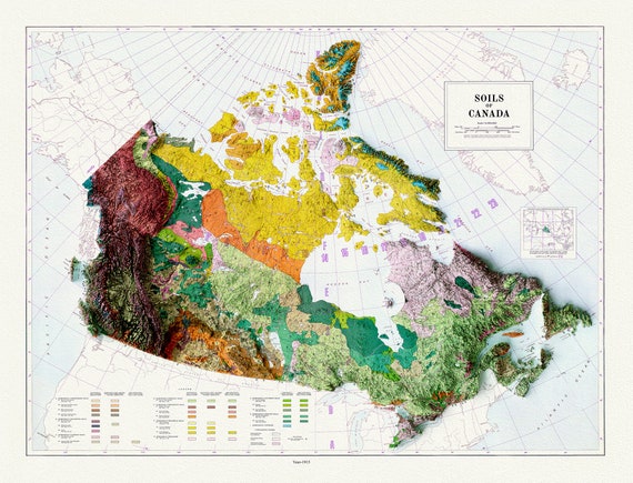 Soils of Canada, 1915 , map on heavy cotton canvas, 20 x 25" approx.
$41.48
Soils of Canada, 1915 , map on heavy cotton canvas, 20 x 25" approx.
$41.48
 Hardesty, Map of Manitoba, 1881, map on heavy cotton canvas, 22x27" approx.
$41.48
Hardesty, Map of Manitoba, 1881, map on heavy cotton canvas, 22x27" approx.
$41.48
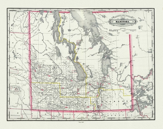 Cram, Manitoba, 1889, map on heavy cotton canvas, 22x27" approx.
$41.48
Cram, Manitoba, 1889, map on heavy cotton canvas, 22x27" approx.
$41.48
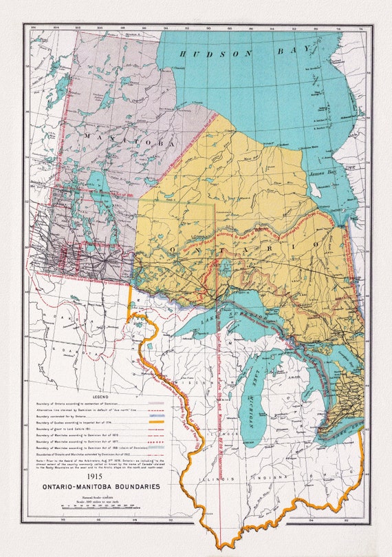 Canada. Department of Interior, Ontario, Manitoba Boundary, 1915, map on heavy cotton canvas, 22x27" approx.
$41.48
Canada. Department of Interior, Ontario, Manitoba Boundary, 1915, map on heavy cotton canvas, 22x27" approx.
$41.48
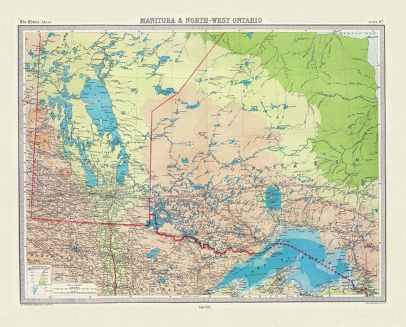 Bartholomew, Manitoba & North-West Ontario, 1922, map on heavy cotton canvas, 22x27" approx.
$41.48
Bartholomew, Manitoba & North-West Ontario, 1922, map on heavy cotton canvas, 22x27" approx.
$41.48
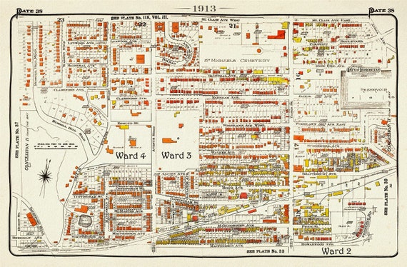 Plate 38, Toronto Uptown West, Forest Hill South, 1913, map on heavy cotton canvas, 20 x 30" approx.
$41.48
Plate 38, Toronto Uptown West, Forest Hill South, 1913, map on heavy cotton canvas, 20 x 30" approx.
$41.48
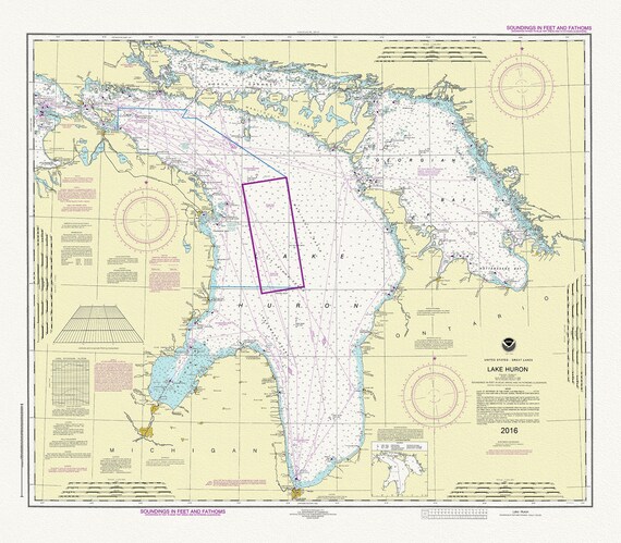 Chart of Lake Huron, 2016, map on heavy cotton canvas, 24 x 27" approx.
$41.48
Chart of Lake Huron, 2016, map on heavy cotton canvas, 24 x 27" approx.
$41.48
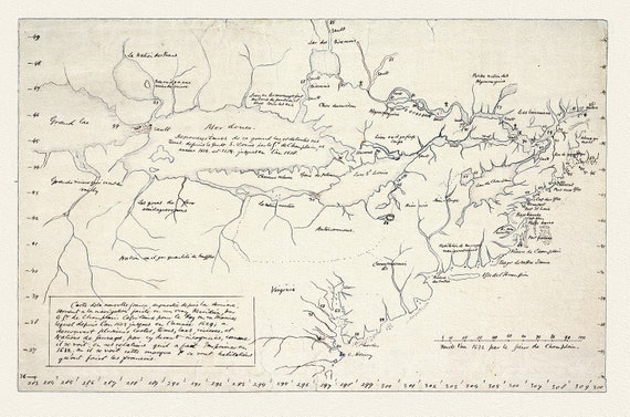 Champlain (1574-1635) et Thoreau-Carte de la Nouvelle France, 1632, map on heavy cotton canvas, 22x27" approx.
$41.48
Champlain (1574-1635) et Thoreau-Carte de la Nouvelle France, 1632, map on heavy cotton canvas, 22x27" approx.
$41.48
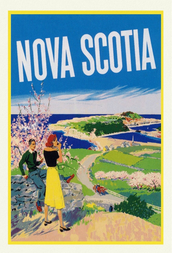 Nova Scotia, Vintage Travel Poster , vintage print on canvas, 50 x 70 cm, 20 x 25" approx.
$41.48
Nova Scotia, Vintage Travel Poster , vintage print on canvas, 50 x 70 cm, 20 x 25" approx.
$41.48
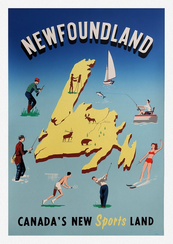 Newfoundland, Canadas New Sports Land, vintage print on canvas, 50 x 70 cm, 20 x 25" approx.
$41.48
Newfoundland, Canadas New Sports Land, vintage print on canvas, 50 x 70 cm, 20 x 25" approx.
$41.48