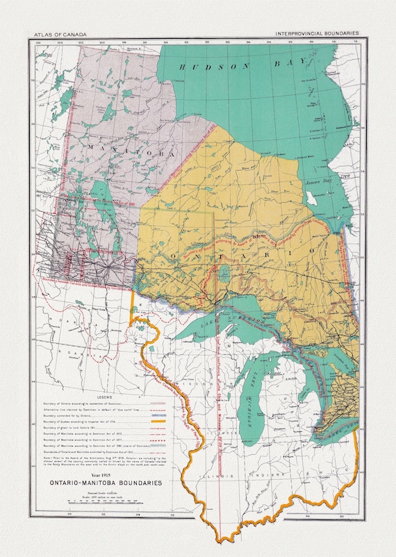
 Canada Department of the Interior et Chalifour, Ontario & Manitoba boundary, 1915, map on heavy cotton canvas, 22x27" approx.
$41.36
Canada Department of the Interior et Chalifour, Ontario & Manitoba boundary, 1915, map on heavy cotton canvas, 22x27" approx.
$41.36
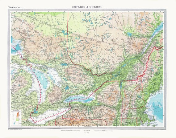 Bartholomew, Ontario & Quebec, 1922 , map on heavy cotton canvas, 22x27" approx.
$41.36
Bartholomew, Ontario & Quebec, 1922 , map on heavy cotton canvas, 22x27" approx.
$41.36
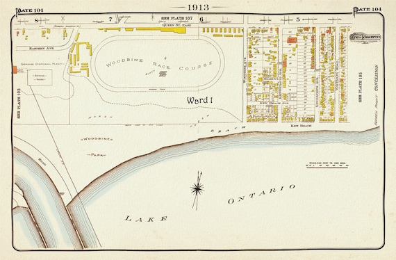 Plate 104, Toronto East, The Beach, Woodbine Race Course, 1913, map on heavy cotton canvas, 20 x 30" or 50 x 75cm. approx.
$41.36
Plate 104, Toronto East, The Beach, Woodbine Race Course, 1913, map on heavy cotton canvas, 20 x 30" or 50 x 75cm. approx.
$41.36
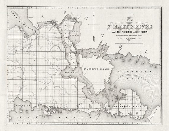 Colton, Magilton et Whitney, St. Mary's River From Lake Superior To Lake Huron, 1855 , map on heavy cotton canvas, 22x27" approx.
$41.36
Colton, Magilton et Whitney, St. Mary's River From Lake Superior To Lake Huron, 1855 , map on heavy cotton canvas, 22x27" approx.
$41.36
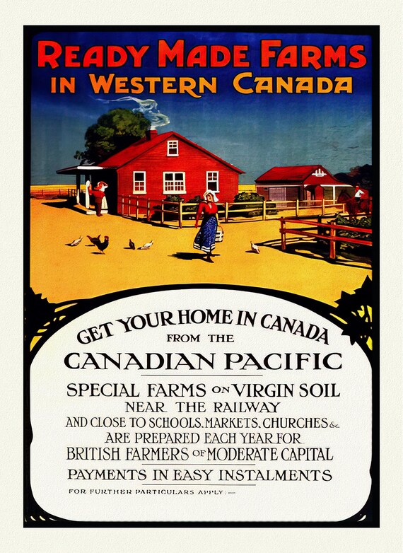 Ready Made Farms in Western Canada, travel poster reprinted on durable cotton canvas, 50 x 70 cm, 20 x 25" approx.
$41.36
Ready Made Farms in Western Canada, travel poster reprinted on durable cotton canvas, 50 x 70 cm, 20 x 25" approx.
$41.36
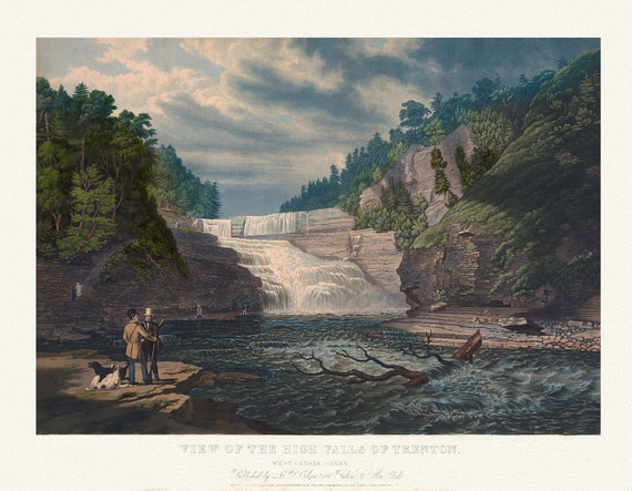 Trenton Falls, 1735, Bennet auth., map on durable cotton canvas, 50 x 70 cm, 20 x 25" approx.
$41.36
Trenton Falls, 1735, Bennet auth., map on durable cotton canvas, 50 x 70 cm, 20 x 25" approx.
$41.36
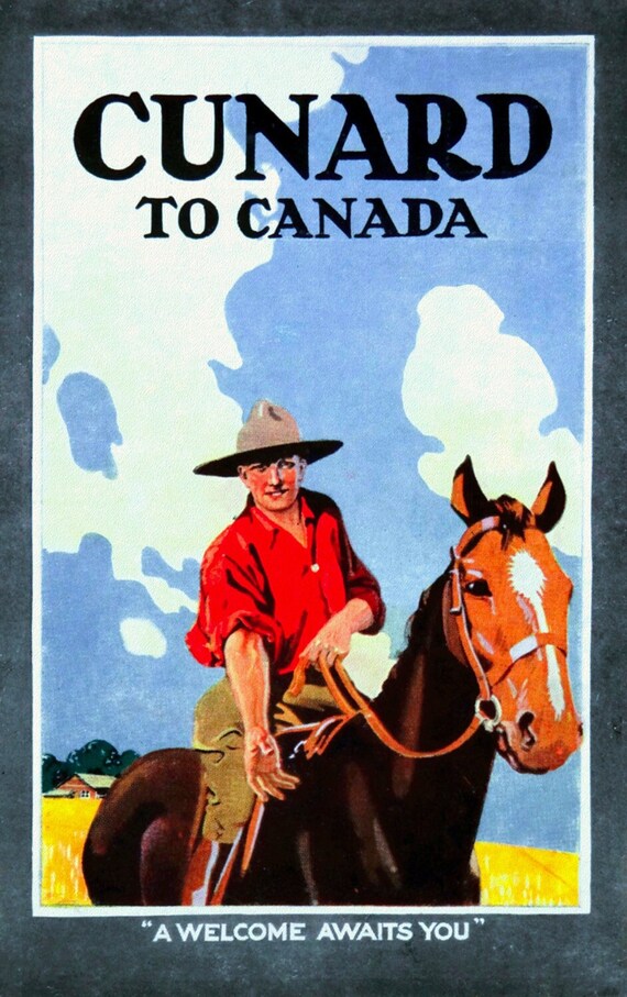 Cunard to Canada, travel poster reprinted on durable cotton canvas, 50 x 70 cm, 20 x 25" approx.
$41.36
Cunard to Canada, travel poster reprinted on durable cotton canvas, 50 x 70 cm, 20 x 25" approx.
$41.36
 The Prairie Provinces of Canada, travel poster reprinted on durable cotton canvas, 50 x 70 cm, 20 x 25" approx.
$41.36
The Prairie Provinces of Canada, travel poster reprinted on durable cotton canvas, 50 x 70 cm, 20 x 25" approx.
$41.36
 Irrigation Farming in Sunny Alberta, travel poster reprinted on durable cotton canvas, 50 x 70 cm, 20 x 25" approx.
$41.36
Irrigation Farming in Sunny Alberta, travel poster reprinted on durable cotton canvas, 50 x 70 cm, 20 x 25" approx.
$41.36
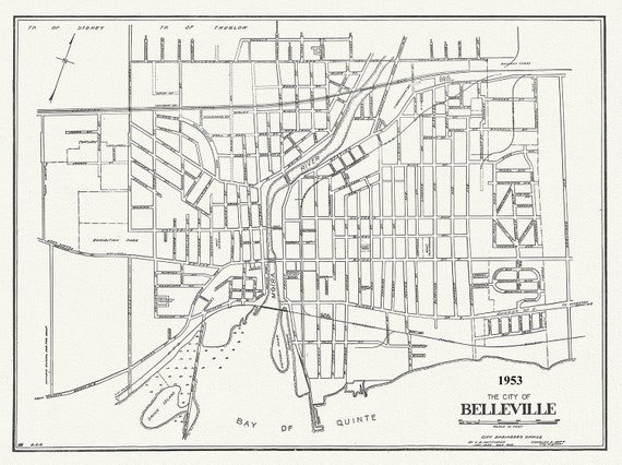 The City of Belleville, Hastings County, Ontario, 1953, map on durable cotton canvas, 50 x 70 cm, 20 x 25" approx.
$41.36
The City of Belleville, Hastings County, Ontario, 1953, map on durable cotton canvas, 50 x 70 cm, 20 x 25" approx.
$41.36
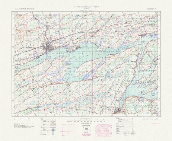 Belleville, Ontario, A Topographic Map, 1938 , map on durable cotton canvas, 50 x 70 cm, 20 x 25" approx.
$41.36
Belleville, Ontario, A Topographic Map, 1938 , map on durable cotton canvas, 50 x 70 cm, 20 x 25" approx.
$41.36
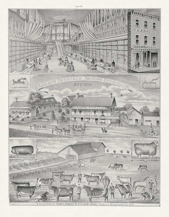 Hastings County, Businesses, 1878 Ver. II , vintage print on canvas, 50 x 70 cm, 20 x 25" approx.
$41.36
Hastings County, Businesses, 1878 Ver. II , vintage print on canvas, 50 x 70 cm, 20 x 25" approx.
$41.36
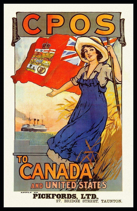 Canadian Pacific Overseas System to Canada, travel poster reprinted on durable cotton canvas, 50 x 70 cm, 20 x 25" approx.
$41.36
Canadian Pacific Overseas System to Canada, travel poster reprinted on durable cotton canvas, 50 x 70 cm, 20 x 25" approx.
$41.36
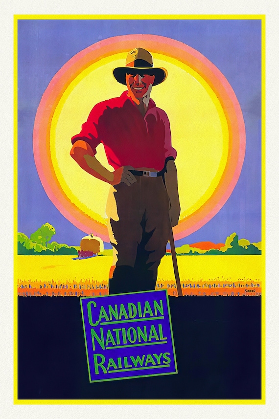 The West, CNR, travel poster reprinted on durable cotton canvas, 50 x 70 cm, 20 x 25" approx.
$41.36
The West, CNR, travel poster reprinted on durable cotton canvas, 50 x 70 cm, 20 x 25" approx.
$41.36
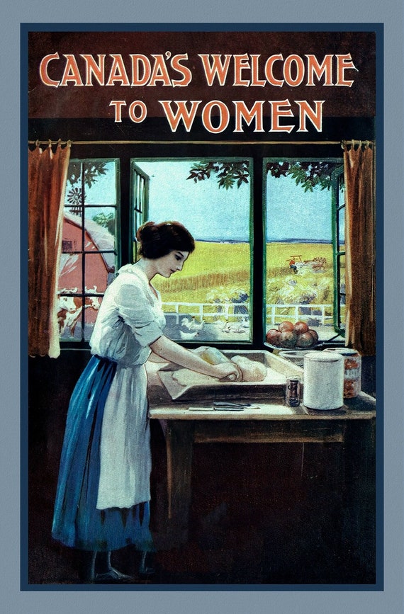 Canada's Welcome to Women, vintage travel poster reprinted on heavy cotton canvas, 50 x 70 cm, 20 x 25" approx.
$41.36
Canada's Welcome to Women, vintage travel poster reprinted on heavy cotton canvas, 50 x 70 cm, 20 x 25" approx.
$41.36
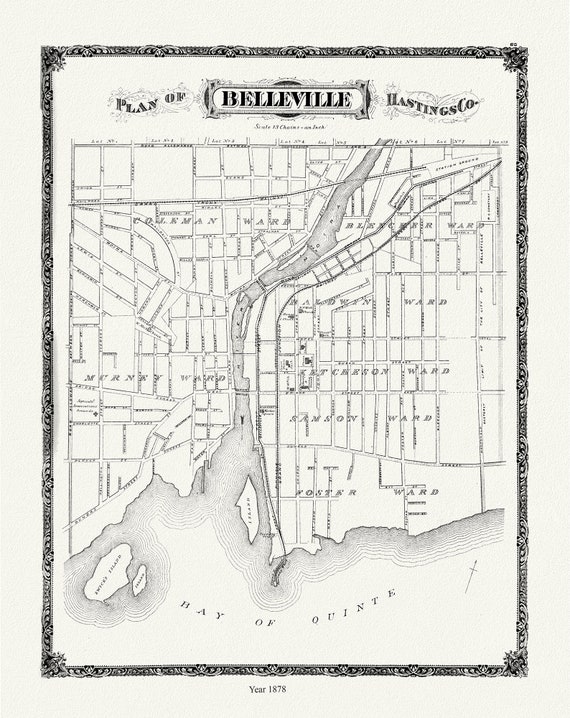 Belleville, 1878 , map on durable cotton canvas, 50 x 70 cm, 20 x 25" approx.
$41.36
Belleville, 1878 , map on durable cotton canvas, 50 x 70 cm, 20 x 25" approx.
$41.36
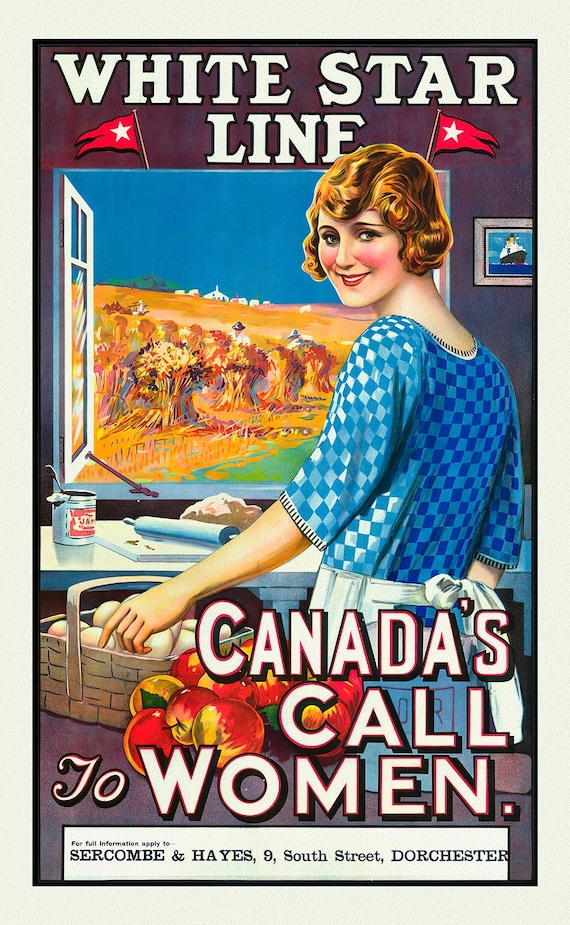 Canada's Call to Women, White Star Line, vintage travel poster reprinted on durable cotton canvas, 50 x 70 cm, 20 x 25" approx.
$41.36
Canada's Call to Women, White Star Line, vintage travel poster reprinted on durable cotton canvas, 50 x 70 cm, 20 x 25" approx.
$41.36
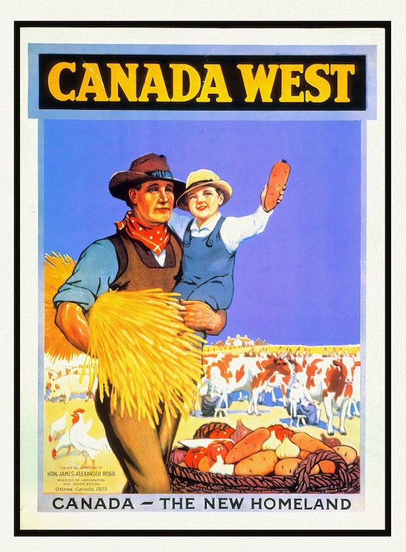 Canada West, The New Homeland Ver. II, vintage travel poster reprinted on durable cotton canvas, 50 x 70 cm, 20 x 25" approx.
$41.36
Canada West, The New Homeland Ver. II, vintage travel poster reprinted on durable cotton canvas, 50 x 70 cm, 20 x 25" approx.
$41.36
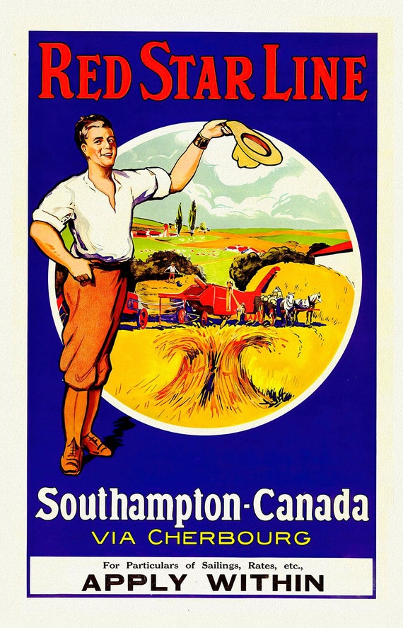 Canada from Southampton, Red Star Line , vintage travel poster reprinted on heavy cotton canvas, 50 x 70 cm, 20 x 25" approx.
$41.36
Canada from Southampton, Red Star Line , vintage travel poster reprinted on heavy cotton canvas, 50 x 70 cm, 20 x 25" approx.
$41.36
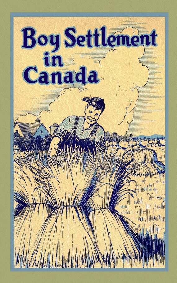 Boy Settlement in Canada, vintage travel poster reprinted on durable cotton canvas, 50 x 70 cm, 20 x 25" approx.
$41.36
Boy Settlement in Canada, vintage travel poster reprinted on durable cotton canvas, 50 x 70 cm, 20 x 25" approx.
$41.36