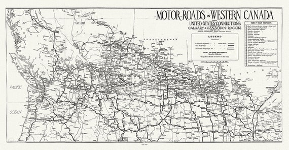
 Motor roads in Western Canada and United States connections leading to Calgary & Canadian Rockies, 1929
$34.32
Motor roads in Western Canada and United States connections leading to Calgary & Canadian Rockies, 1929
$34.32
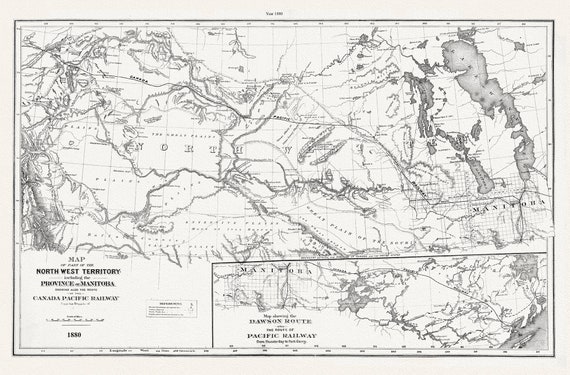 North West Territory and Manitoba, 1880, CPR, map on durable cotton canvas, 50 x 70 cm, 20 x 25" approx.
$34.32
North West Territory and Manitoba, 1880, CPR, map on durable cotton canvas, 50 x 70 cm, 20 x 25" approx.
$34.32
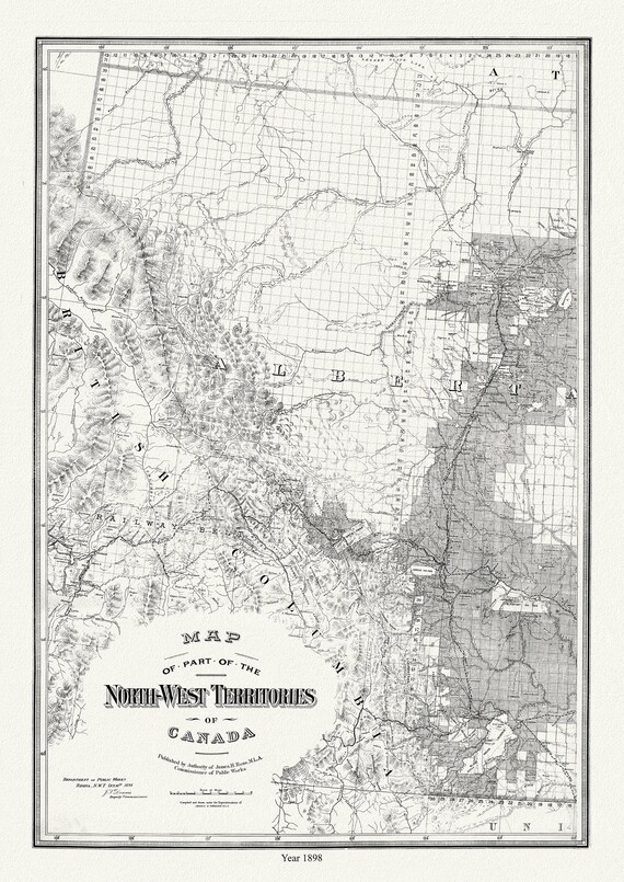 Map of Western Alberta, formerly N.W.T., 1898, map on durable cotton canvas, 50 x 70 cm or 20x25" approx.
$34.32
Map of Western Alberta, formerly N.W.T., 1898, map on durable cotton canvas, 50 x 70 cm or 20x25" approx.
$34.32
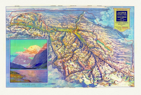 CNR, Pictorial Map of Jasper National Park and Mount Robson Park, 1935
$34.32
CNR, Pictorial Map of Jasper National Park and Mount Robson Park, 1935
$34.32
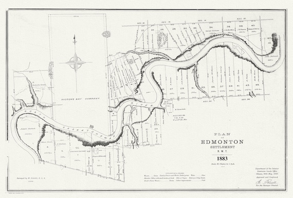 E Plan of Edmonton settlement, N.W.T., 1883, map on durable cotton canvas, 50 x 70 cm or 20x25" approx.
$34.32
E Plan of Edmonton settlement, N.W.T., 1883, map on durable cotton canvas, 50 x 70 cm or 20x25" approx.
$34.32
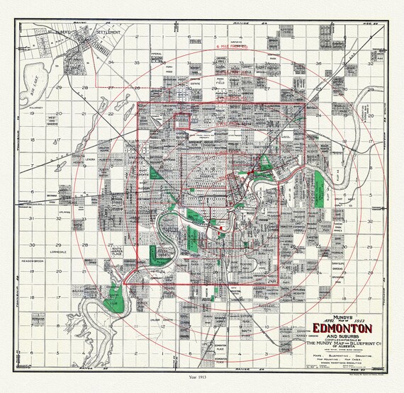 Edmonton and suburbs, 1913, Mundy auth. , map on durable cotton canvas, 50 x 70 cm or 20x25" approx.
$34.32
Edmonton and suburbs, 1913, Mundy auth. , map on durable cotton canvas, 50 x 70 cm or 20x25" approx.
$34.32
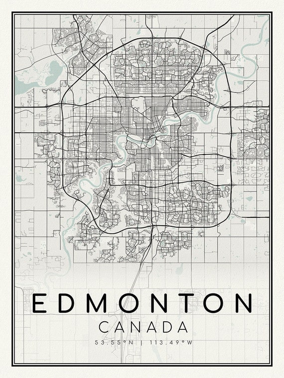 Edmonton, A Modern Map, on durable cotton canvas, 50 x 70 cm, 20 x 25" approx.
$34.32
Edmonton, A Modern Map, on durable cotton canvas, 50 x 70 cm, 20 x 25" approx.
$34.32
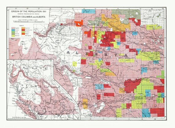 Department of the Interior, Origin of the Population for 1911 British Columbia and Alberta, issued 1915 ,heavy cotton canvas, 22x27" approx.
$34.32
Department of the Interior, Origin of the Population for 1911 British Columbia and Alberta, issued 1915 ,heavy cotton canvas, 22x27" approx.
$34.32
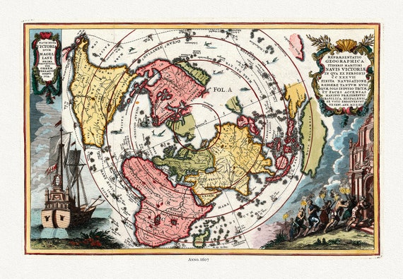 Navis Dicta duce Magellane Prima Circuvecia per Orbem, Terrarum Orbis, 1607 (Polar Arctic),map on heavy cotton canvas, 22x27" approx.
$34.32
Navis Dicta duce Magellane Prima Circuvecia per Orbem, Terrarum Orbis, 1607 (Polar Arctic),map on heavy cotton canvas, 22x27" approx.
$34.32
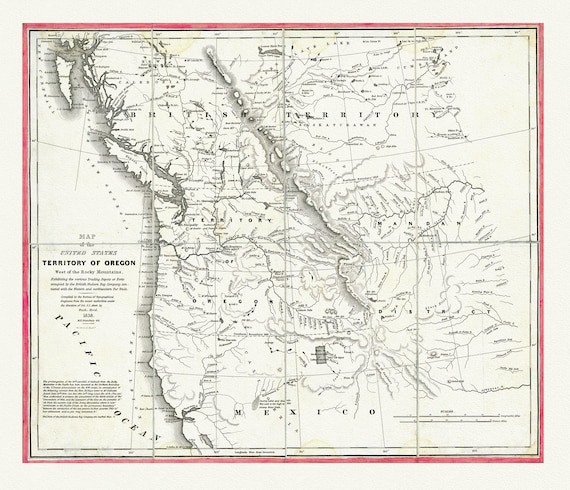 Map of the United States, Territory of Oregon, west of the Rocky Mountains, connected with fur trade, 1838, canvas map 20x25"
$34.32
Map of the United States, Territory of Oregon, west of the Rocky Mountains, connected with fur trade, 1838, canvas map 20x25"
$34.32
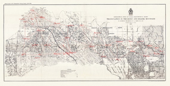 Triangulation in the Rocky and Selkirk Mountains, 1907, map on heavy cotton canvas, 50 x 70cm, 20 x 25" approx.
$34.32
Triangulation in the Rocky and Selkirk Mountains, 1907, map on heavy cotton canvas, 50 x 70cm, 20 x 25" approx.
$34.32
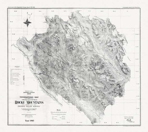 Topographical map of part of the main range of the Rocky Mountains adjacent to the Canadian Pacific Railway, 1903, Canvas 20 x 25" approx.
$34.32
Topographical map of part of the main range of the Rocky Mountains adjacent to the Canadian Pacific Railway, 1903, Canvas 20 x 25" approx.
$34.32
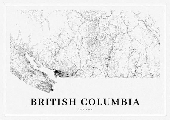 Southern British Columbia, A Modern Map, Ver. I, map on heavy cotton canvas, 50 x 70cm, 20 x 25" approx.
$34.32
Southern British Columbia, A Modern Map, Ver. I, map on heavy cotton canvas, 50 x 70cm, 20 x 25" approx.
$34.32
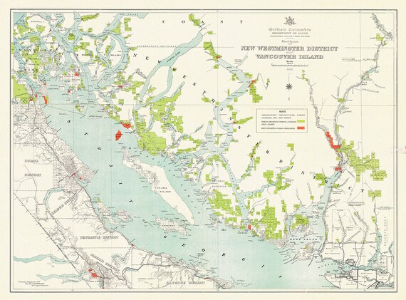 Portions of New Westminster District and Vancouver Island, 1912 , map on heavy cotton canvas, 50 x 70cm, 20 x 25" approx.
$34.32
Portions of New Westminster District and Vancouver Island, 1912 , map on heavy cotton canvas, 50 x 70cm, 20 x 25" approx.
$34.32
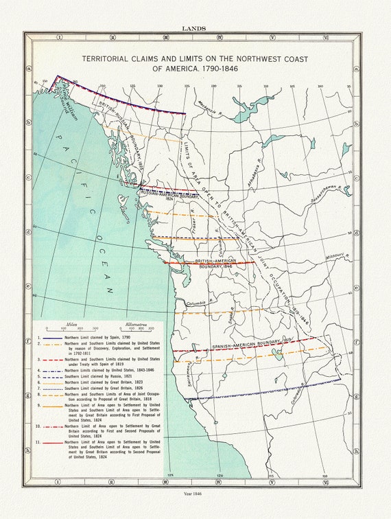 Northwest Coast Lands, Territorial Claims, Paulin et Wright auths., 1790 - 1846, map on heavy cotton canvas, 50 x 70cm, 20 x 25" approx.
$34.32
Northwest Coast Lands, Territorial Claims, Paulin et Wright auths., 1790 - 1846, map on heavy cotton canvas, 50 x 70cm, 20 x 25" approx.
$34.32
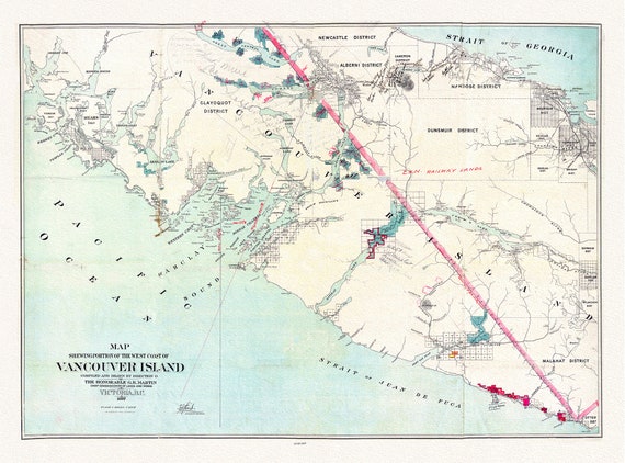 Map shewing portion of the west coast of Vancouver Island, G. B. Martin ,auth., 1897 , map on heavy cotton canvas, 20 x 25" approx.
$34.32
Map shewing portion of the west coast of Vancouver Island, G. B. Martin ,auth., 1897 , map on heavy cotton canvas, 20 x 25" approx.
$34.32
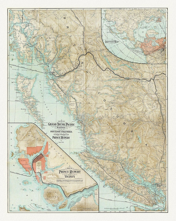 Map Of The Grand Trunk Pacific Railway In British Columbia, 1910, map on heavy cotton canvas, 20 x 30" or 50 x 75cm. approx.
$34.32
Map Of The Grand Trunk Pacific Railway In British Columbia, 1910, map on heavy cotton canvas, 20 x 30" or 50 x 75cm. approx.
$34.32
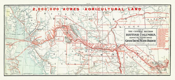 Central section of British Columbia shewing the county served by the Grand Trunk Pacific Railway, 1911 , map on canvas, 20 x 30", approx.
$34.32
Central section of British Columbia shewing the county served by the Grand Trunk Pacific Railway, 1911 , map on canvas, 20 x 30", approx.
$34.32
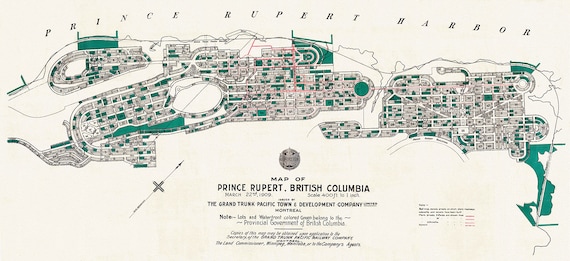 Prince Rupert Harbour, 1909 Ver. II, map on heavy cotton canvas, 50 x 70cm, 20 x 25" approx.
$34.32
Prince Rupert Harbour, 1909 Ver. II, map on heavy cotton canvas, 50 x 70cm, 20 x 25" approx.
$34.32
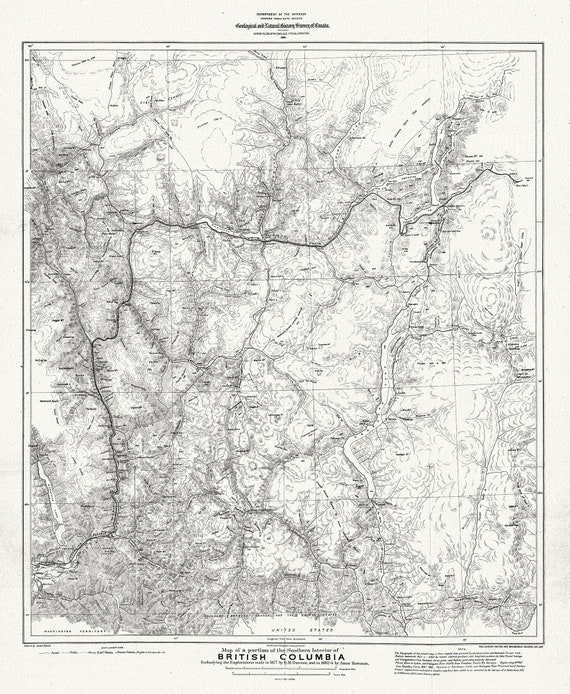 Map of portion of Southern Interior of British Columbia ,the explorations in 1877, Dawson, , map on heavy cotton canvas, 20 x 25" approx.
$34.32
Map of portion of Southern Interior of British Columbia ,the explorations in 1877, Dawson, , map on heavy cotton canvas, 20 x 25" approx.
$34.32