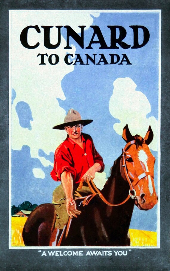
 Cunard to Canada, travel poster reprinted on durable cotton canvas, 50 x 70 cm, 20 x 25" approx.
$45.20
Cunard to Canada, travel poster reprinted on durable cotton canvas, 50 x 70 cm, 20 x 25" approx.
$45.20
 The Prairie Provinces of Canada, travel poster reprinted on durable cotton canvas, 50 x 70 cm, 20 x 25" approx.
$45.20
The Prairie Provinces of Canada, travel poster reprinted on durable cotton canvas, 50 x 70 cm, 20 x 25" approx.
$45.20
 Irrigation Farming in Sunny Alberta, travel poster reprinted on durable cotton canvas, 50 x 70 cm, 20 x 25" approx.
$45.20
Irrigation Farming in Sunny Alberta, travel poster reprinted on durable cotton canvas, 50 x 70 cm, 20 x 25" approx.
$45.20
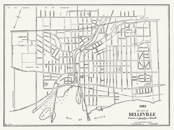 The City of Belleville, Hastings County, Ontario, 1953, map on durable cotton canvas, 50 x 70 cm, 20 x 25" approx.
$45.20
The City of Belleville, Hastings County, Ontario, 1953, map on durable cotton canvas, 50 x 70 cm, 20 x 25" approx.
$45.20
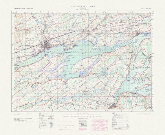 Belleville, Ontario, A Topographic Map, 1938 , map on durable cotton canvas, 50 x 70 cm, 20 x 25" approx.
$45.20
Belleville, Ontario, A Topographic Map, 1938 , map on durable cotton canvas, 50 x 70 cm, 20 x 25" approx.
$45.20
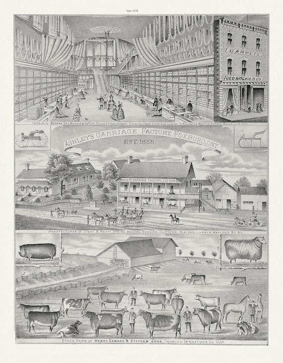 Hastings County, Businesses, 1878 Ver. II , vintage print on canvas, 50 x 70 cm, 20 x 25" approx.
$45.20
Hastings County, Businesses, 1878 Ver. II , vintage print on canvas, 50 x 70 cm, 20 x 25" approx.
$45.20
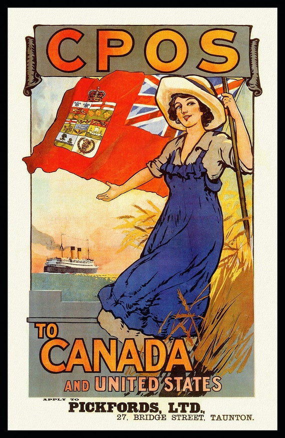 Canadian Pacific Overseas System to Canada, travel poster reprinted on durable cotton canvas, 50 x 70 cm, 20 x 25" approx.
$45.20
Canadian Pacific Overseas System to Canada, travel poster reprinted on durable cotton canvas, 50 x 70 cm, 20 x 25" approx.
$45.20
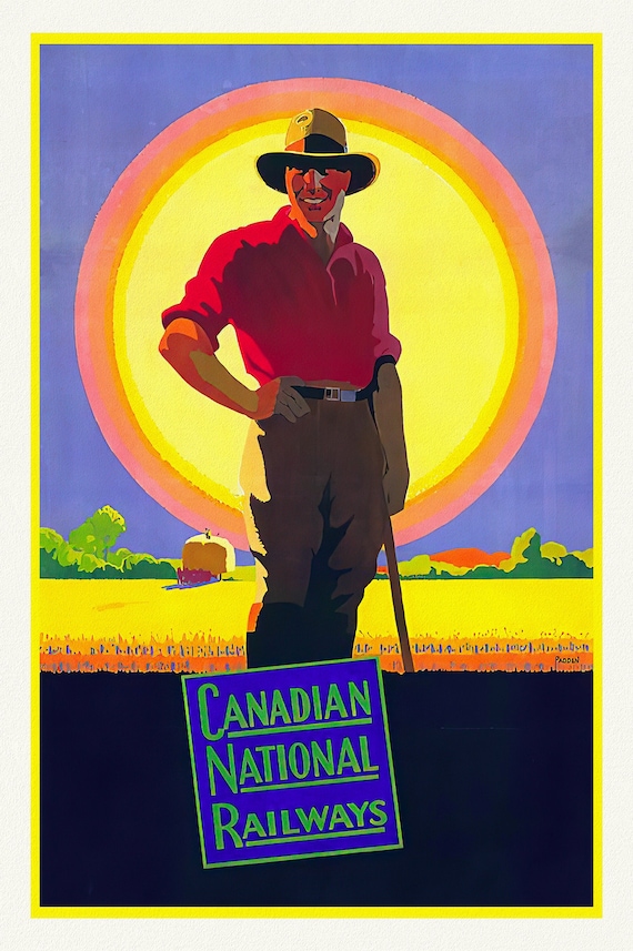 The West, CNR, travel poster reprinted on durable cotton canvas, 50 x 70 cm, 20 x 25" approx.
$45.20
The West, CNR, travel poster reprinted on durable cotton canvas, 50 x 70 cm, 20 x 25" approx.
$45.20
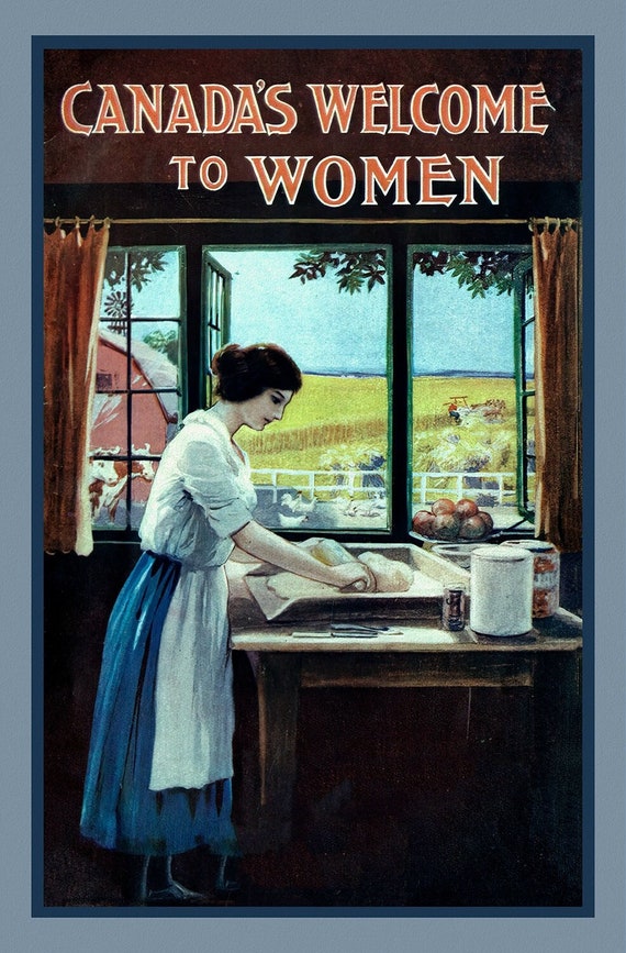 Canada's Welcome to Women, vintage travel poster reprinted on heavy cotton canvas, 50 x 70 cm, 20 x 25" approx.
$45.20
Canada's Welcome to Women, vintage travel poster reprinted on heavy cotton canvas, 50 x 70 cm, 20 x 25" approx.
$45.20
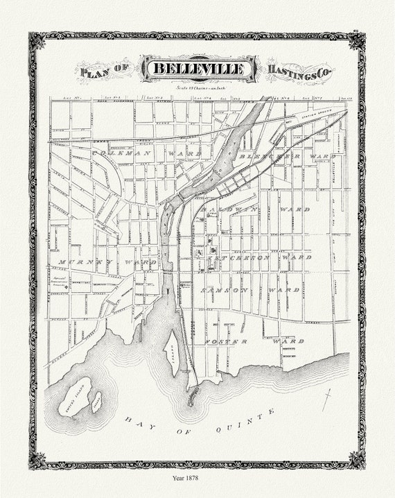 Belleville, 1878 , map on durable cotton canvas, 50 x 70 cm, 20 x 25" approx.
$45.20
Belleville, 1878 , map on durable cotton canvas, 50 x 70 cm, 20 x 25" approx.
$45.20
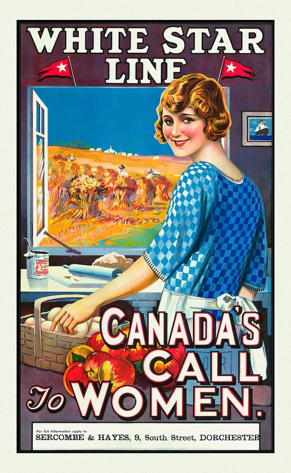 Canada's Call to Women, White Star Line, vintage travel poster reprinted on durable cotton canvas, 50 x 70 cm, 20 x 25" approx.
$45.20
Canada's Call to Women, White Star Line, vintage travel poster reprinted on durable cotton canvas, 50 x 70 cm, 20 x 25" approx.
$45.20
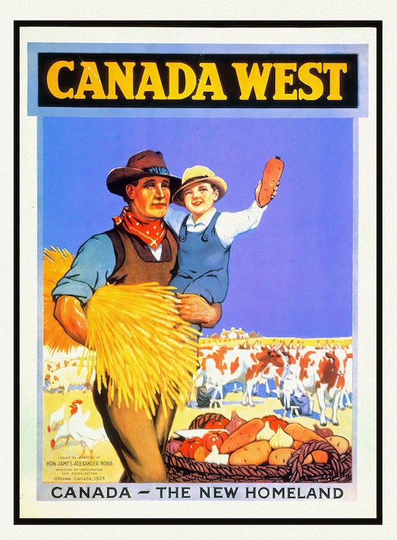 Canada West, The New Homeland Ver. II, vintage travel poster reprinted on durable cotton canvas, 50 x 70 cm, 20 x 25" approx.
$45.20
Canada West, The New Homeland Ver. II, vintage travel poster reprinted on durable cotton canvas, 50 x 70 cm, 20 x 25" approx.
$45.20
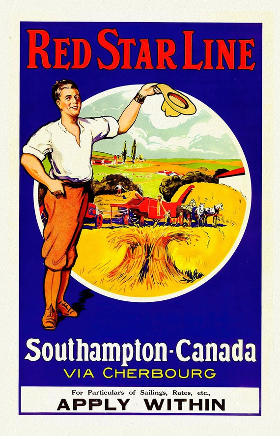 Canada from Southampton, Red Star Line , vintage travel poster reprinted on heavy cotton canvas, 50 x 70 cm, 20 x 25" approx.
$45.20
Canada from Southampton, Red Star Line , vintage travel poster reprinted on heavy cotton canvas, 50 x 70 cm, 20 x 25" approx.
$45.20
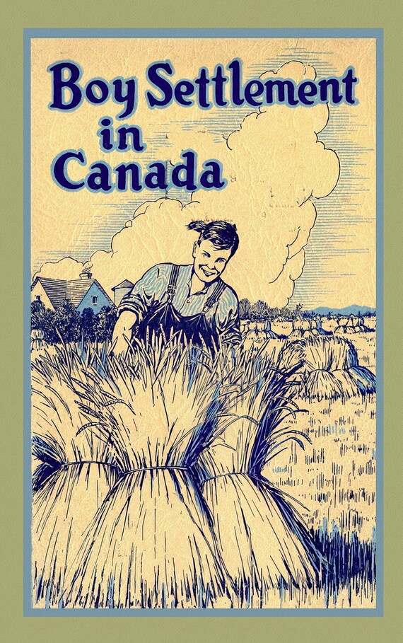 Boy Settlement in Canada, vintage travel poster reprinted on durable cotton canvas, 50 x 70 cm, 20 x 25" approx.
$45.20
Boy Settlement in Canada, vintage travel poster reprinted on durable cotton canvas, 50 x 70 cm, 20 x 25" approx.
$45.20
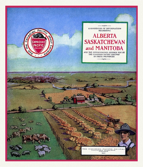 Alberta, Sask.& Alberta by Canadian Pacific , vintage travel poster on heavy cotton canvas, 50 x 70 cm, 20 x 25" approx.
$45.20
Alberta, Sask.& Alberta by Canadian Pacific , vintage travel poster on heavy cotton canvas, 50 x 70 cm, 20 x 25" approx.
$45.20
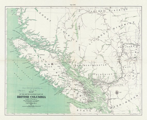 Map of the south-western part of British Columbia, Vernon, 1892, map on durable cotton canvas, 50 x 70 cm, 20 x 25" approx.
$45.20
Map of the south-western part of British Columbia, Vernon, 1892, map on durable cotton canvas, 50 x 70 cm, 20 x 25" approx.
$45.20
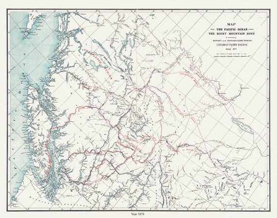 Map from the Pacific Ocean across the Rocky Mountain zone to accompany report on the exploratory survey.CPR.1874, 20x25" approx.
$45.20
Map from the Pacific Ocean across the Rocky Mountain zone to accompany report on the exploratory survey.CPR.1874, 20x25" approx.
$45.20
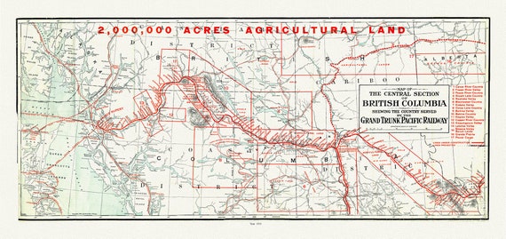 Map of the central section of British Columbia shewing the county served by the Grand Trunk Pacific Railway, 1911, 20 x 25" approx.
$45.20
Map of the central section of British Columbia shewing the county served by the Grand Trunk Pacific Railway, 1911, 20 x 25" approx.
$45.20
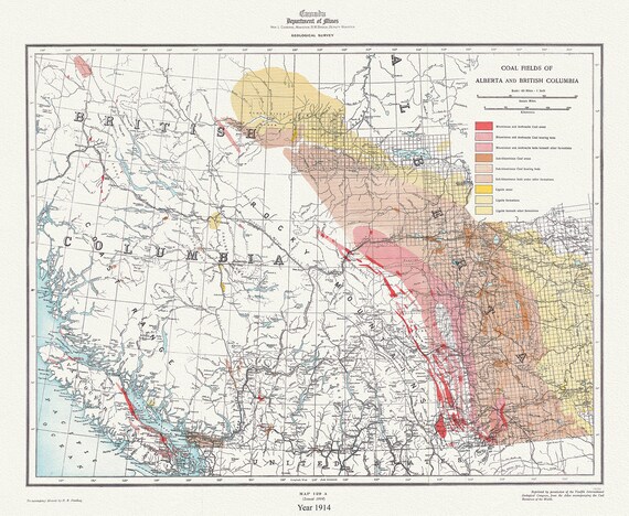 Coal fields of Alberta and British Columbia, 1914, map on durable cotton canvas, 50 x 70 cm, 20 x 25" approx.
$45.20
Coal fields of Alberta and British Columbia, 1914, map on durable cotton canvas, 50 x 70 cm, 20 x 25" approx.
$45.20
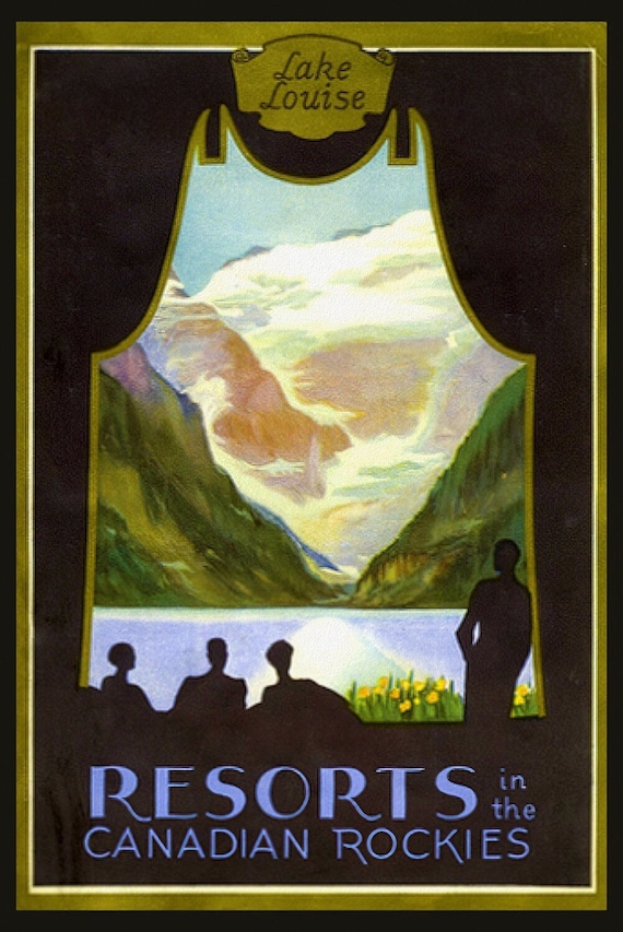 Lake Louise, Resorts in the Canadian Rockies , vintage travel poster reprinted on heavy cotton canvas, 50 x 70 cm, 20 x 25" approx.
$45.20
Lake Louise, Resorts in the Canadian Rockies , vintage travel poster reprinted on heavy cotton canvas, 50 x 70 cm, 20 x 25" approx.
$45.20