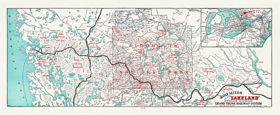
 Algonquin-Haliburton: Grand Trunk Railway, Historic Algonquin Park Map, 1906, map on heavy cotton canvas, 22x27" approx.
$45.20
Algonquin-Haliburton: Grand Trunk Railway, Historic Algonquin Park Map, 1906, map on heavy cotton canvas, 22x27" approx.
$45.20
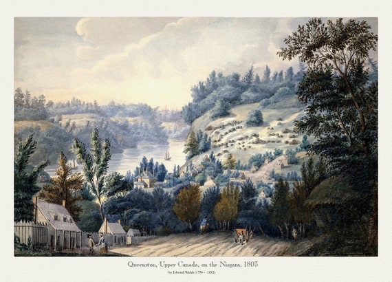 Queenston, Upper Canada on the Niagara, Walsh pinx.,1803, print on canvas, 50 x 70 cm, 20 x 25" approx.
$45.20
Queenston, Upper Canada on the Niagara, Walsh pinx.,1803, print on canvas, 50 x 70 cm, 20 x 25" approx.
$45.20
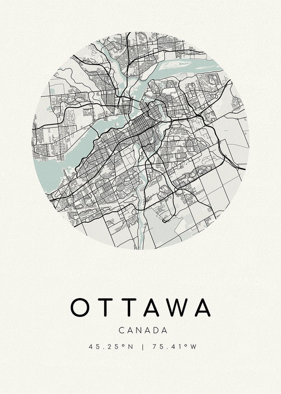 Ottawa, A Modern Map, Ver. II , map on heavy cotton canvas, 45 x 65 cm, 18 x 24" approx.
$45.20
Ottawa, A Modern Map, Ver. II , map on heavy cotton canvas, 45 x 65 cm, 18 x 24" approx.
$45.20
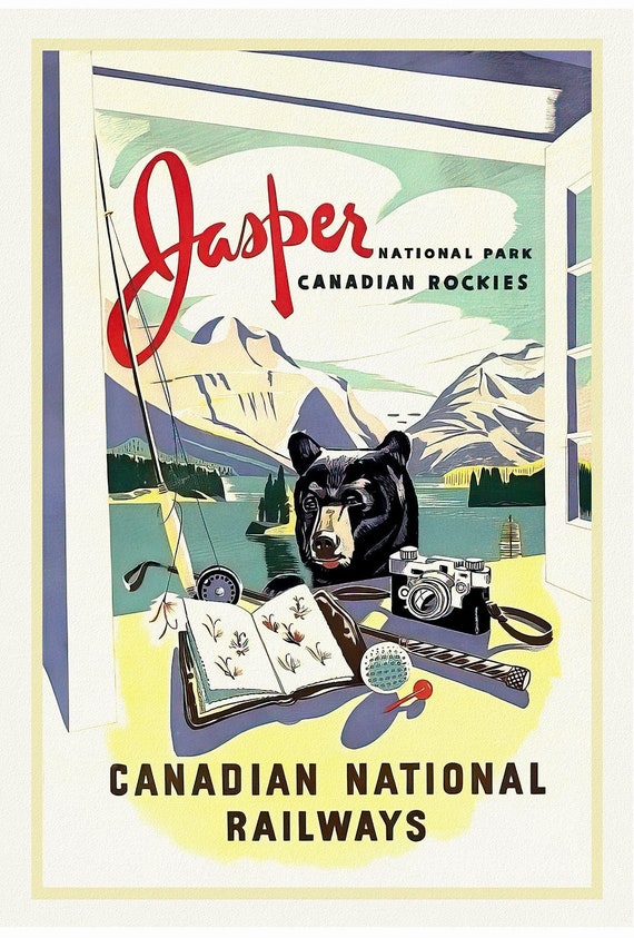 Jasper National Park, CNR , vintage travel poster reprinted on heavy cotton canvas, 50 x 70 cm, 20 x 25" approx.
$45.20
Jasper National Park, CNR , vintage travel poster reprinted on heavy cotton canvas, 50 x 70 cm, 20 x 25" approx.
$45.20
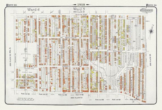 Plate 24, Toronto West, Bloorcourt, Dufferin Grove & Brockton, 1910, map on heavy cotton canvas, 20 x 30" approx.
$45.20
Plate 24, Toronto West, Bloorcourt, Dufferin Grove & Brockton, 1910, map on heavy cotton canvas, 20 x 30" approx.
$45.20
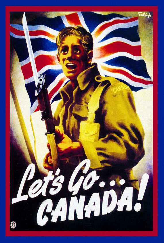 Canada WW I Poster, Let's Go Canada! ,on heavy cotton canvas, 22x27" approx.
$45.20
Canada WW I Poster, Let's Go Canada! ,on heavy cotton canvas, 22x27" approx.
$45.20
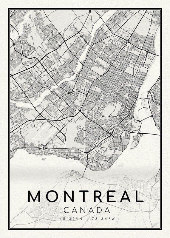 Montreal, A Modern Map , map on heavy cotton canvas, 45 x 65 cm, 18 x 24" approx.
$45.20
Montreal, A Modern Map , map on heavy cotton canvas, 45 x 65 cm, 18 x 24" approx.
$45.20
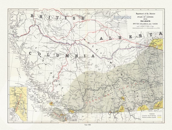 British Columbia and Yukon, Railways, 1906 , map on durable cotton canvas, 50 x 70 cm, 20 x 25" approx.
$45.20
British Columbia and Yukon, Railways, 1906 , map on durable cotton canvas, 50 x 70 cm, 20 x 25" approx.
$45.20
 Canadian National Railway, Alaska and the Yukon, 1907, map on durable cotton canvas, 50 x 70 cm, 20 x 25" approx.
$45.20
Canadian National Railway, Alaska and the Yukon, 1907, map on durable cotton canvas, 50 x 70 cm, 20 x 25" approx.
$45.20
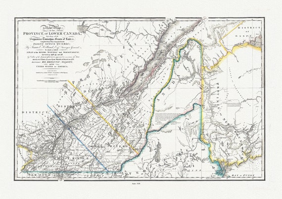 Province Of Lower Canada, 1838 , map on durable cotton canvas, 50 x 70 cm, 20 x 25" approx.
$45.20
Province Of Lower Canada, 1838 , map on durable cotton canvas, 50 x 70 cm, 20 x 25" approx.
$45.20
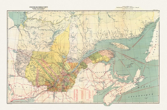
 Québec, North Sheet, 1914
$45.20
Québec, North Sheet, 1914
$45.20
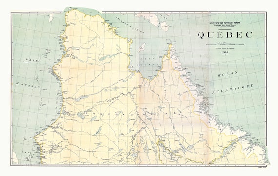
 Québec, South Sheet, 1914 , map on durable cotton canvas, 50 x 70 cm, 20 x 25" approx.
$45.20
Québec, South Sheet, 1914 , map on durable cotton canvas, 50 x 70 cm, 20 x 25" approx.
$45.20
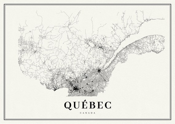 Quebec, A Modern Map
$45.20
Quebec, A Modern Map
$45.20
 Lower Canada. 1857, map on durable cotton canvas, 50 x 70 cm, 20 x 25" approx.
$45.20
Lower Canada. 1857, map on durable cotton canvas, 50 x 70 cm, 20 x 25" approx.
$45.20
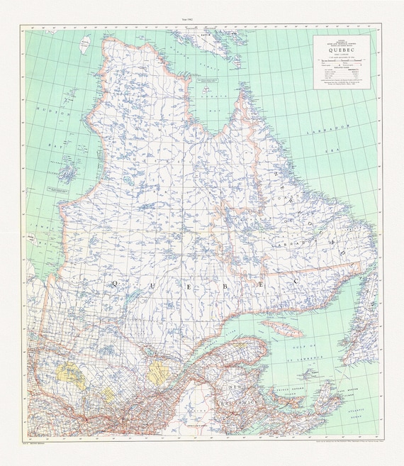 Québec, 1962, map on durable cotton canvas, 50 x 70 cm, 20 x 25" approx.
$45.20
Québec, 1962, map on durable cotton canvas, 50 x 70 cm, 20 x 25" approx.
$45.20
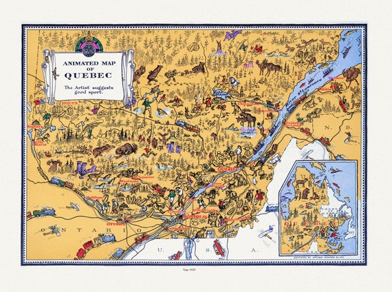 Master et Elias, An Animated Map of Quebec, 1929, map on durable cotton canvas, 50 x 70 cm, 20 x 25" approx.
$45.20
Master et Elias, An Animated Map of Quebec, 1929, map on durable cotton canvas, 50 x 70 cm, 20 x 25" approx.
$45.20
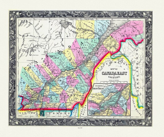 Map Of Canada East, In Counties, 1860 , map on durable cotton canvas, 50 x 70 cm, 20 x 25" approx.
$45.20
Map Of Canada East, In Counties, 1860 , map on durable cotton canvas, 50 x 70 cm, 20 x 25" approx.
$45.20
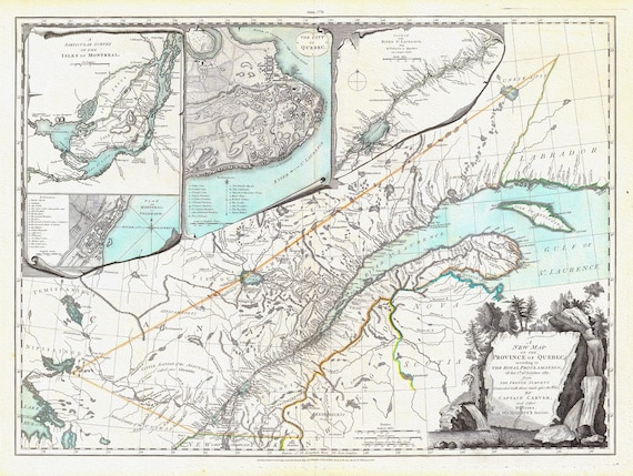 New Map Of The Province of Quebec, 1776, Jefferys auth., map on durable cotton canvas, 50 x 70 cm, 20 x 25" approx.
$45.20
New Map Of The Province of Quebec, 1776, Jefferys auth., map on durable cotton canvas, 50 x 70 cm, 20 x 25" approx.
$45.20
 Map of Quebec, 1884, Hardesty & Co. auth. , map on durable cotton canvas, 50 x 70 cm, 20 x 25" approx.
$45.20
Map of Quebec, 1884, Hardesty & Co. auth. , map on durable cotton canvas, 50 x 70 cm, 20 x 25" approx.
$45.20
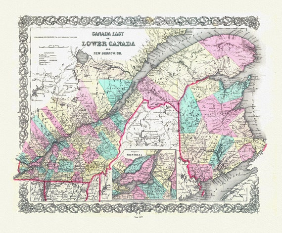
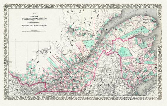 Quebec & New Brunswick, 1874, Colton auth., map on durable cotton canvas, 50 x 70 cm, 20 x 25" approx.
$45.20
Quebec & New Brunswick, 1874, Colton auth., map on durable cotton canvas, 50 x 70 cm, 20 x 25" approx.
$45.20