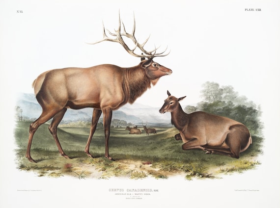
 J.J. Audobon, Elk (Cervus Canadensis) from the viviparous quadrupeds of North America (1845) ,print 50 x 70 cm, 20 x 25" approx.
$45.20
J.J. Audobon, Elk (Cervus Canadensis) from the viviparous quadrupeds of North America (1845) ,print 50 x 70 cm, 20 x 25" approx.
$45.20
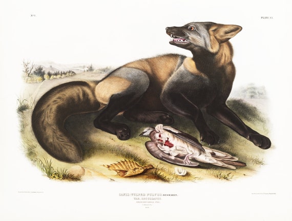
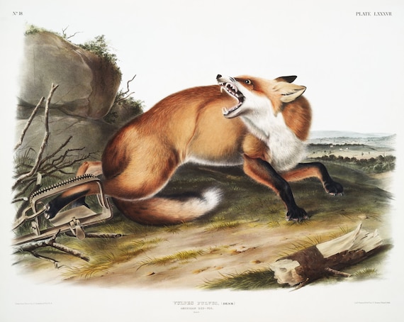 J.J. Audobon, Red-Fox (Vulpes Fulvus) from the viviparous quadrupeds of North America (1845) , on canvas, 50 x 70 cm, 20 x 25" approx.
$45.20
J.J. Audobon, Red-Fox (Vulpes Fulvus) from the viviparous quadrupeds of North America (1845) , on canvas, 50 x 70 cm, 20 x 25" approx.
$45.20
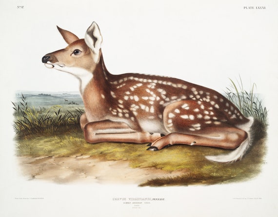 J.J. Audobon, North American Deer (Cervus Virginianus) from the viviparous quadrupeds of North America (1845), print, 20 x 25" approx.
$45.20
J.J. Audobon, North American Deer (Cervus Virginianus) from the viviparous quadrupeds of North America (1845), print, 20 x 25" approx.
$45.20
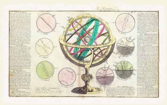 Clouet, La Sphere,1787 , Map on heavy cotton canvas, 22x27" approx.
$45.20
Clouet, La Sphere,1787 , Map on heavy cotton canvas, 22x27" approx.
$45.20
 The Daily Telegraph, Map of the World on Mercator's Projection, 1918 ,Map on heavy cotton canvas, 22x27in. approx.
$45.20
The Daily Telegraph, Map of the World on Mercator's Projection, 1918 ,Map on heavy cotton canvas, 22x27in. approx.
$45.20
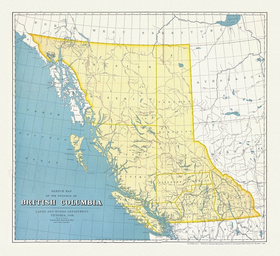 British Columbia, A Sketch Map, 1899, map on heavy cotton canvas, 50 x 70cm, 20 x 25" approx.
$45.20
British Columbia, A Sketch Map, 1899, map on heavy cotton canvas, 50 x 70cm, 20 x 25" approx.
$45.20
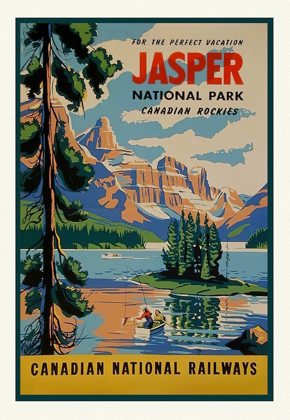 Jasper National Park, Canadian National Railways, Travel Poster on heavy cotton canvas, 22x27" approx.
$45.20
Jasper National Park, Canadian National Railways, Travel Poster on heavy cotton canvas, 22x27" approx.
$45.20
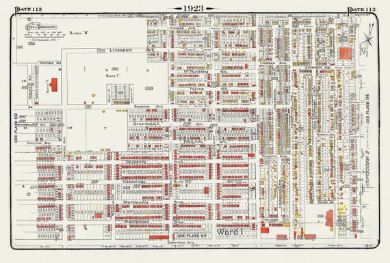 Plate 113, Toronto East York, Woodbine Ave. North of Danforth, 1923, Map on heavy cotton canvas, 18x27in. approx.
$45.20
Plate 113, Toronto East York, Woodbine Ave. North of Danforth, 1923, Map on heavy cotton canvas, 18x27in. approx.
$45.20
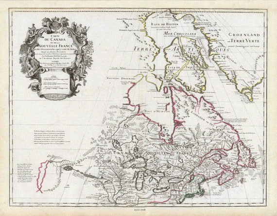 Delisle, Le Canada, 1708 , map on heavy cotton canvas, 20 x 25" approx.
$41.43
Delisle, Le Canada, 1708 , map on heavy cotton canvas, 20 x 25" approx.
$41.43
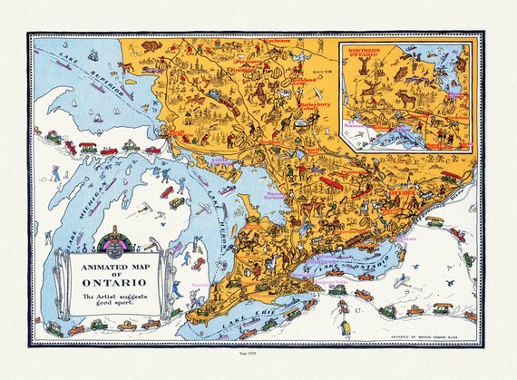 An Animated Map of Ontario, 1929, On heavy Cotton Canvas, 22x27" approx.
$41.43
An Animated Map of Ontario, 1929, On heavy Cotton Canvas, 22x27" approx.
$41.43
 J.J. Audobon, Cross-Fox (Canis vulpes) from the viviparous quadrupeds of North America (1845) ,print on canvas, 50 x 70 cm, 20 x 25" approx.
$45.20
J.J. Audobon, Cross-Fox (Canis vulpes) from the viviparous quadrupeds of North America (1845) ,print on canvas, 50 x 70 cm, 20 x 25" approx.
$45.20
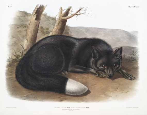 J.J. Audobon, Black or Silver Fox (Vulpes fulvus) from the viviparous quadrupeds of North America (1845), 50 x 70 cm, 20 x 25" approx.
$45.20
J.J. Audobon, Black or Silver Fox (Vulpes fulvus) from the viviparous quadrupeds of North America (1845), 50 x 70 cm, 20 x 25" approx.
$45.20
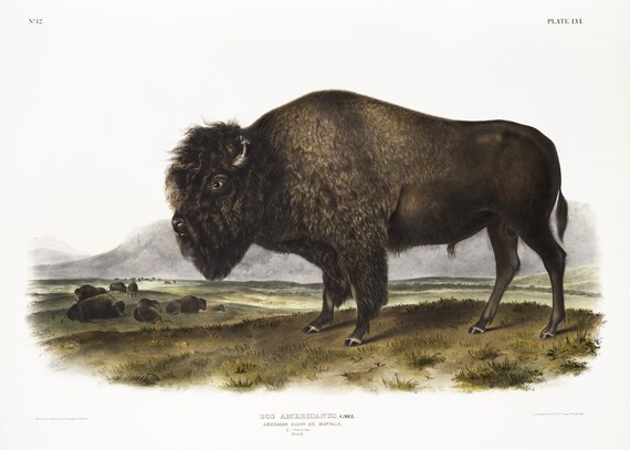 J.J. Audobon, Bison (Bos Americanus) from the viviparous quadrupeds of North America (1845), print on canvas, 50 x 70 cm, 20 x 25" approx.
$45.20
J.J. Audobon, Bison (Bos Americanus) from the viviparous quadrupeds of North America (1845), print on canvas, 50 x 70 cm, 20 x 25" approx.
$45.20
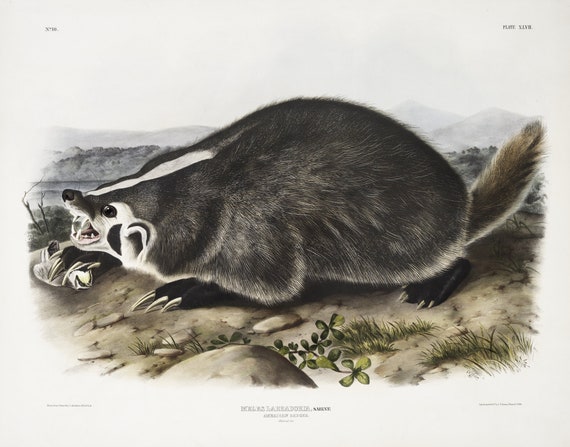 J.J. Audobon, Badger (Meles Labradoria) from the viviparous quadrupeds of North America (1845), 50 x 70 cm, 20 x 25" approx.
$45.20
J.J. Audobon, Badger (Meles Labradoria) from the viviparous quadrupeds of North America (1845), 50 x 70 cm, 20 x 25" approx.
$45.20
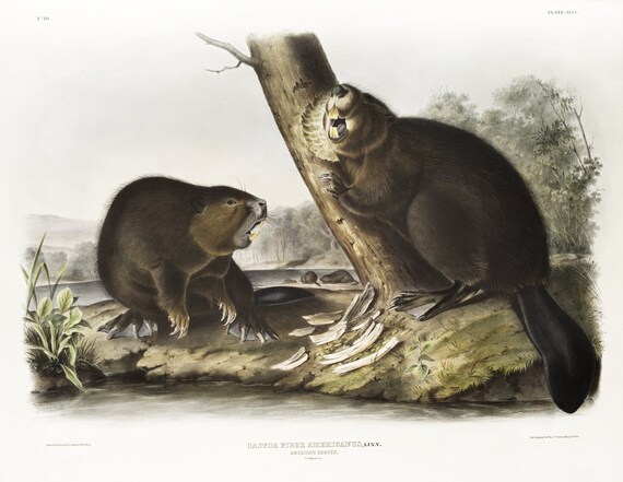 J.J. Audobon, Beaver (Castor fiber Americanus) from the viviparous quadrupeds of North America (1845)' print, 50 x 70 cm, 20 x 25" approx.
$45.20
J.J. Audobon, Beaver (Castor fiber Americanus) from the viviparous quadrupeds of North America (1845)' print, 50 x 70 cm, 20 x 25" approx.
$45.20
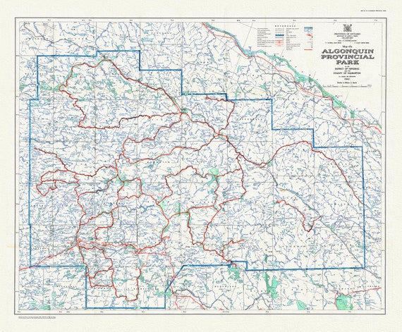 Historic Algonquin Park Map 47A, 1960 , map on heavy cotton canvas, 20 x 25" approx.
$48.97
Historic Algonquin Park Map 47A, 1960 , map on heavy cotton canvas, 20 x 25" approx.
$48.97
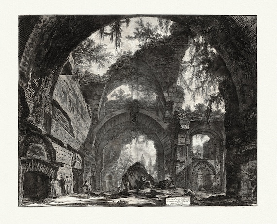 Giovanni Battista Piranesi, Vedute di Roma, Ruins of a Sculpture Gallery at Hadrian's Villa at Tivoli, 1760, cotton canvas, 22x27" approx.
$45.20
Giovanni Battista Piranesi, Vedute di Roma, Ruins of a Sculpture Gallery at Hadrian's Villa at Tivoli, 1760, cotton canvas, 22x27" approx.
$45.20
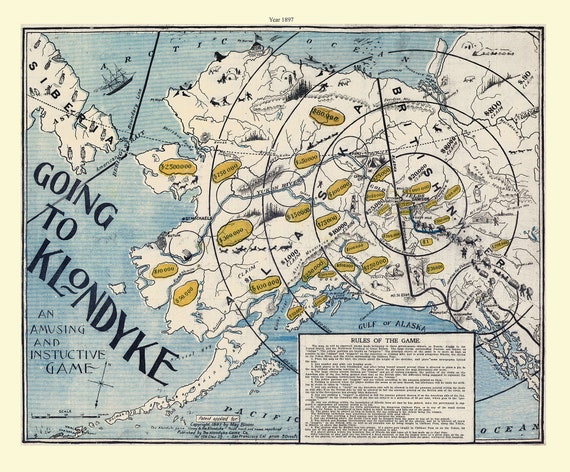 Klondike Game Co., Going to Klondyke, 1897, vintage print on canvas, 50 x 70 cm, 20 x 25" approx.
$45.20
Klondike Game Co., Going to Klondyke, 1897, vintage print on canvas, 50 x 70 cm, 20 x 25" approx.
$45.20
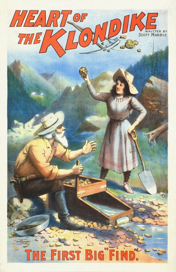 The Heart of the Klondike, The First Big Find, A Book, vintage print on canvas, 50 x 70 cm, 20 x 25" approx.
$45.20
The Heart of the Klondike, The First Big Find, A Book, vintage print on canvas, 50 x 70 cm, 20 x 25" approx.
$45.20
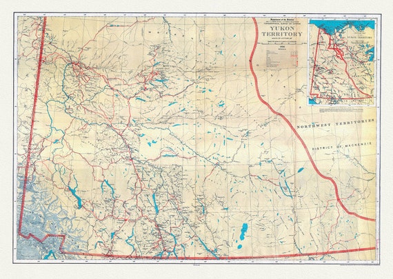 Yukon Territory, South of Latitude 65 degrees ,1936, Vintage Map on Cotton Canvas, 22x27" approx.
$45.20
Yukon Territory, South of Latitude 65 degrees ,1936, Vintage Map on Cotton Canvas, 22x27" approx.
$45.20