 Septemtrionaliora Americae a Groenlandia, Freta Davidis et Hudson, Groenland door de Straet Davis ende Straet Hudson tot Terra Neuf, 1765
$45.54
Septemtrionaliora Americae a Groenlandia, Freta Davidis et Hudson, Groenland door de Straet Davis ende Straet Hudson tot Terra Neuf, 1765
$45.54
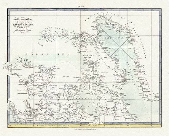 Recent discoveries in the Arctic Regions, 1833 Aspin auth. , map on durable cotton canvas, 50 x 70 cm, 20 x 25" approx.
$45.54
Recent discoveries in the Arctic Regions, 1833 Aspin auth. , map on durable cotton canvas, 50 x 70 cm, 20 x 25" approx.
$45.54
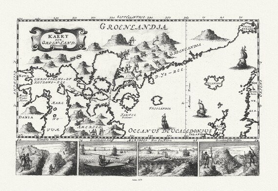 Greenland and Canada, Le Peyrere auth., 1679 , map on durable cotton canvas, 50 x 70 cm, 20 x 25" approx.
$45.54
Greenland and Canada, Le Peyrere auth., 1679 , map on durable cotton canvas, 50 x 70 cm, 20 x 25" approx.
$45.54
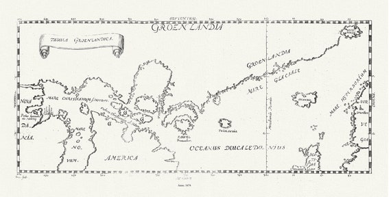 Greenland and Canada, Tabula Groenlandica, Le Peyere auth., 1674 , map on durable cotton canvas, 50 x 70 cm, 20 x 25" approx.
$45.54
Greenland and Canada, Tabula Groenlandica, Le Peyere auth., 1674 , map on durable cotton canvas, 50 x 70 cm, 20 x 25" approx.
$45.54
 Expeditions in the Canadian North, 1905, Hanson et Ristveldt, map on durable cotton canvas, 50 x 70 cm, 20 x 25" approx.
$45.54
Expeditions in the Canadian North, 1905, Hanson et Ristveldt, map on durable cotton canvas, 50 x 70 cm, 20 x 25" approx.
$45.54
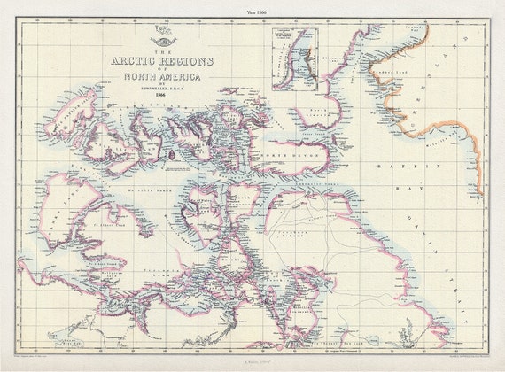 Arctic Regions of North America, 1866, Weller auth. , map on durable cotton canvas, 50 x 70 cm, 20 x 25" approx.
$45.54
Arctic Regions of North America, 1866, Weller auth. , map on durable cotton canvas, 50 x 70 cm, 20 x 25" approx.
$45.54