
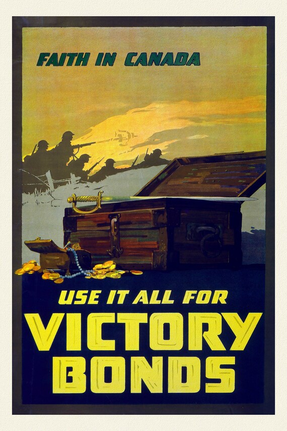
 Faith in Canada, Use it all for Victory Bonds, vintage war poster on durable cotton canvas, 50 x 70 cm, 20 x 25" approx.
$41.65
Faith in Canada, Use it all for Victory Bonds, vintage war poster on durable cotton canvas, 50 x 70 cm, 20 x 25" approx.
$41.65
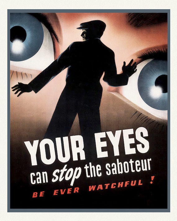 Your Eyes can Stop the Saboteur!, vintage war poster on durable cotton canvas, 50 x 70 cm, 20 x 25" approx.
$41.65
Your Eyes can Stop the Saboteur!, vintage war poster on durable cotton canvas, 50 x 70 cm, 20 x 25" approx.
$41.65
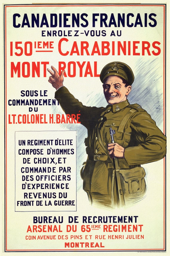 Canadiens Francais. Enrolez-vous au 150ieme Carabiniers Mont Royal, sous le commandement du Lt. Colonel H. Barré, 1915, vintage war poster
$41.65
Canadiens Francais. Enrolez-vous au 150ieme Carabiniers Mont Royal, sous le commandement du Lt. Colonel H. Barré, 1915, vintage war poster
$41.65
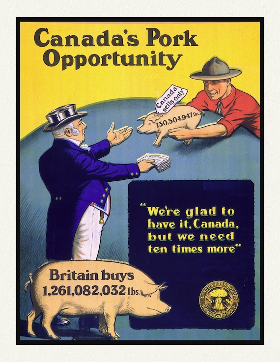 Canada's Pork Opportunity, 1914, vintage war poster on durable cotton canvas, 50 x 70 cm, 20 x 25" approx.
$41.65
Canada's Pork Opportunity, 1914, vintage war poster on durable cotton canvas, 50 x 70 cm, 20 x 25" approx.
$41.65
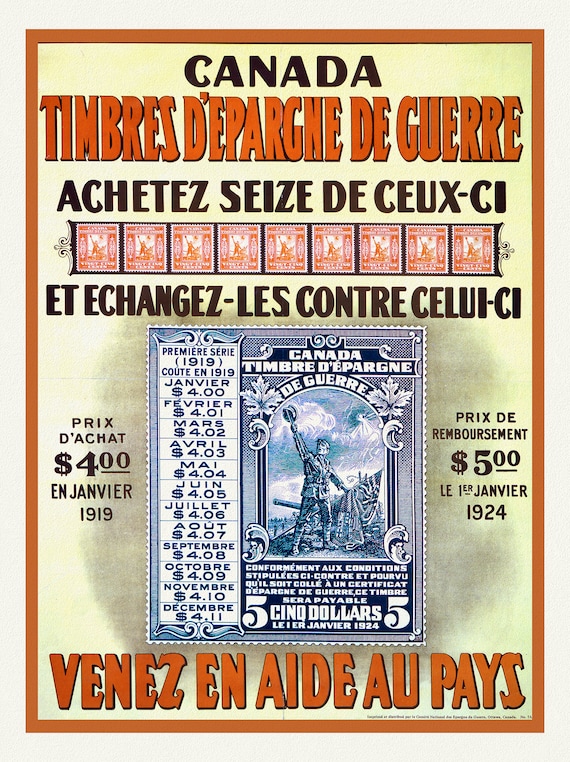 Canada Timbres d'Epargne de Guerre. Venez en aide au pays, 1918, vintage war poster on durable cotton canvas, 50 x 70 cm, 20 x 25" approx.
$41.65
Canada Timbres d'Epargne de Guerre. Venez en aide au pays, 1918, vintage war poster on durable cotton canvas, 50 x 70 cm, 20 x 25" approx.
$41.65
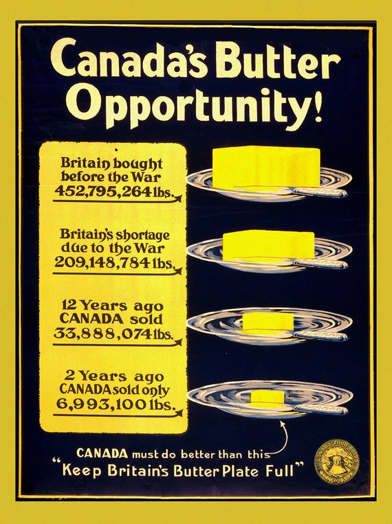 Canada's Butter Opportunity, 1914
$41.65
Canada's Butter Opportunity, 1914
$41.65
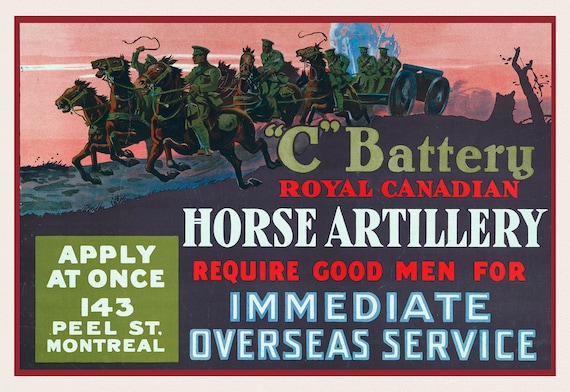 C' Battery Royal Canadian horse artillery require good men for immediate overseas service Apply at once, 143 Peel St., Montreal, 1917
$41.65
C' Battery Royal Canadian horse artillery require good men for immediate overseas service Apply at once, 143 Peel St., Montreal, 1917
$41.65
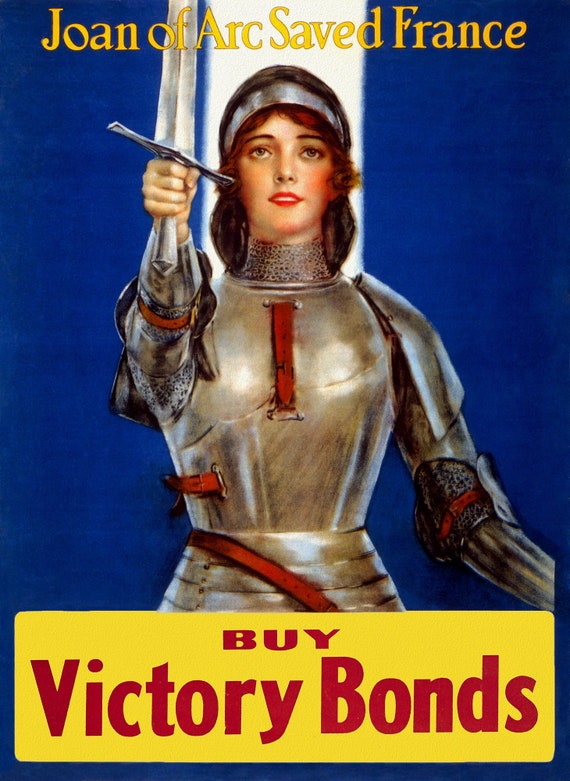 Buy Victory Bonds , Joan of Arc Saved France Ver. II, vintage war poster on durable cotton canvas, 50 x 70 cm, 20 x 25" approx.
$41.65
Buy Victory Bonds , Joan of Arc Saved France Ver. II, vintage war poster on durable cotton canvas, 50 x 70 cm, 20 x 25" approx.
$41.65
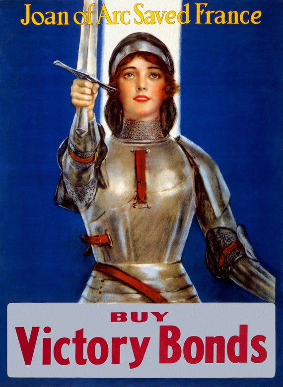 Buy Victory Bonds , Joan of Arc Saved France Ver. I, vintage war poster on durable cotton canvas, 50 x 70 cm, 20 x 25" approx.
$41.65
Buy Victory Bonds , Joan of Arc Saved France Ver. I, vintage war poster on durable cotton canvas, 50 x 70 cm, 20 x 25" approx.
$41.65
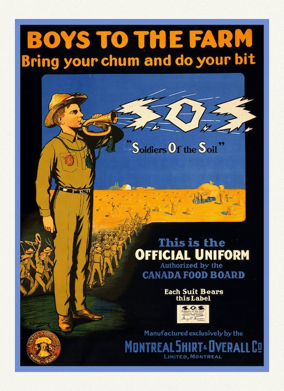 Boys to the Farm, Bring your Chums and do your bit, 1914, vintage war poster on durable cotton canvas, 50 x 70 cm, 20 x 25" approx.
$41.65
Boys to the Farm, Bring your Chums and do your bit, 1914, vintage war poster on durable cotton canvas, 50 x 70 cm, 20 x 25" approx.
$41.65
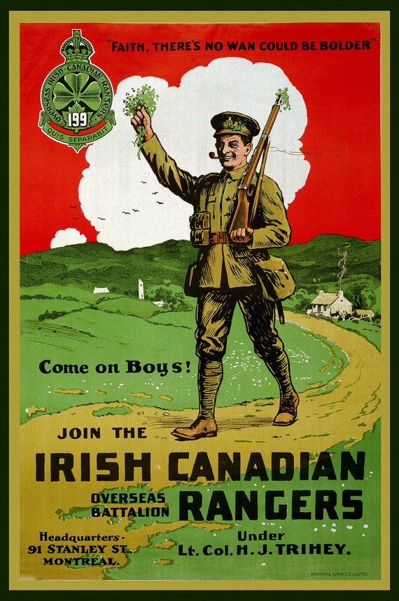 Canada WW I Poster, Join the Irish Canadian Rangers Overseas Battalion, 1914, vintage war poster on canvas, 50 x 70 cm, 20 x 25" approx.
$41.65
Canada WW I Poster, Join the Irish Canadian Rangers Overseas Battalion, 1914, vintage war poster on canvas, 50 x 70 cm, 20 x 25" approx.
$41.65
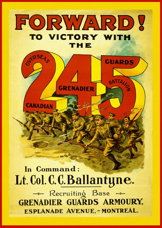 Canada WW I Poster, Forward! To Victory with the 245 Overseas Canadian Grenadier Guards Battalion, 1914, vintage war poster
$41.65
Canada WW I Poster, Forward! To Victory with the 245 Overseas Canadian Grenadier Guards Battalion, 1914, vintage war poster
$41.65
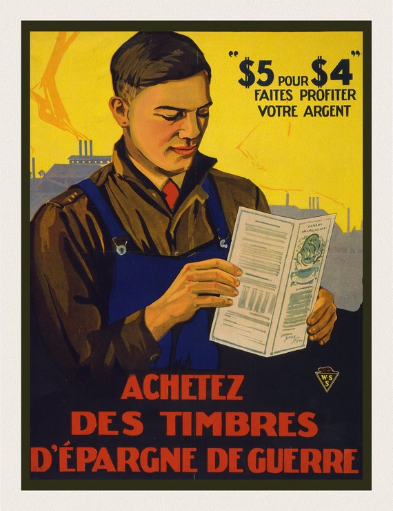 Achetez des timbres d'épargne de guerre, 1915, vintage war poster on durable cotton canvas, 50 x 70 cm, 20 x 25" approx.
$41.65
Achetez des timbres d'épargne de guerre, 1915, vintage war poster on durable cotton canvas, 50 x 70 cm, 20 x 25" approx.
$41.65
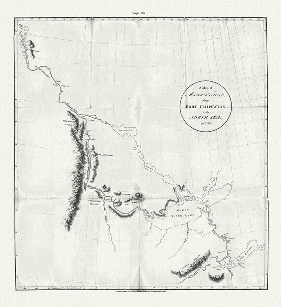 A map of Mackenzie's track from Fort Chipewyan to the north sea in 1789, canvas, 50 x 70 cm or 20x25" approx.
$41.65
A map of Mackenzie's track from Fort Chipewyan to the north sea in 1789, canvas, 50 x 70 cm or 20x25" approx.
$41.65
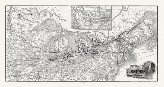 Grand Trunk Railway Company of Canada, 1885, map on heavy cotton canvas, 22x27" approx.
$41.65
Grand Trunk Railway Company of Canada, 1885, map on heavy cotton canvas, 22x27" approx.
$41.65
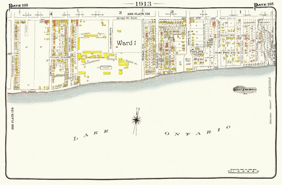 Plate 105, Toronto East, The Beach, Scarboro Beach, 1913, map on heavy cotton canvas, 20 x 30" or 50 x 75cm. approx.
$41.65
Plate 105, Toronto East, The Beach, Scarboro Beach, 1913, map on heavy cotton canvas, 20 x 30" or 50 x 75cm. approx.
$41.65
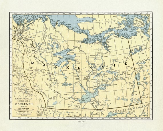 Mackenzie, 1924, Rand McNally & Company, Commercial Atlas, , map on durable cotton canvas, 50 x 70 cm, 20 x 25" approx.
$41.65
Mackenzie, 1924, Rand McNally & Company, Commercial Atlas, , map on durable cotton canvas, 50 x 70 cm, 20 x 25" approx.
$41.65
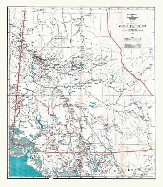 Map of the Yukon Territory, 1919, map on durable cotton canvas, 50 x 70 cm, 20 x 25" approx.
$41.65
Map of the Yukon Territory, 1919, map on durable cotton canvas, 50 x 70 cm, 20 x 25" approx.
$41.65
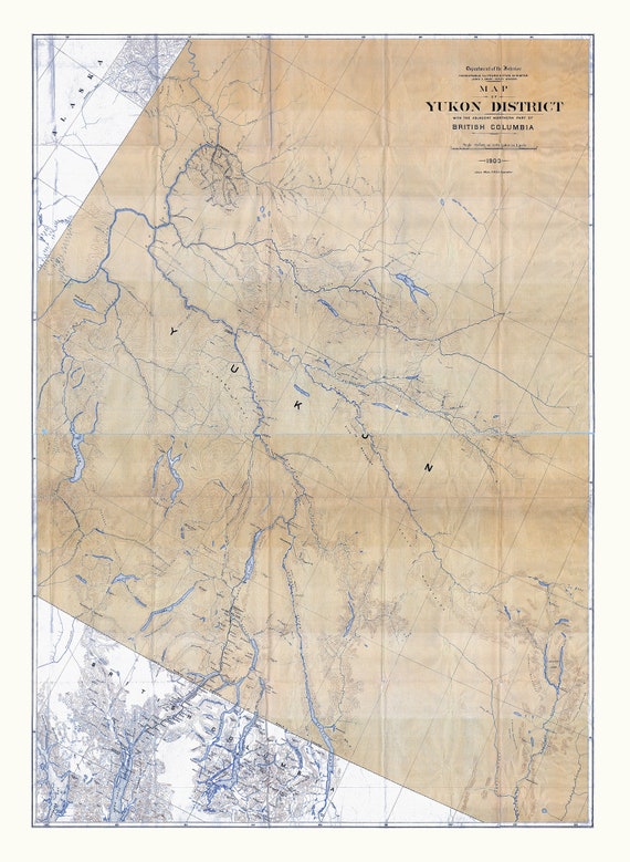 Map of Yukon District with the adjacent northern part of British Columbia, 1903, map on durable cotton canvas, 50 x 70 cm, 20 x 25" approx.
$41.65
Map of Yukon District with the adjacent northern part of British Columbia, 1903, map on durable cotton canvas, 50 x 70 cm, 20 x 25" approx.
$41.65
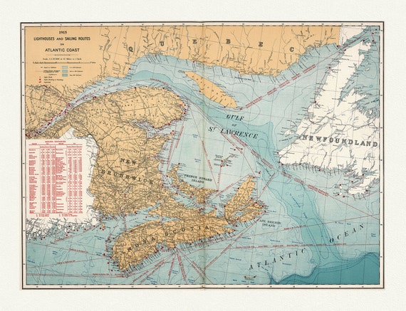 Canada Department of the Interior: Lighthouses and sailing routes on Atlantic coast, 1915 , map on heavy cotton canvas, 20 x 25" approx.
$41.65
Canada Department of the Interior: Lighthouses and sailing routes on Atlantic coast, 1915 , map on heavy cotton canvas, 20 x 25" approx.
$41.65