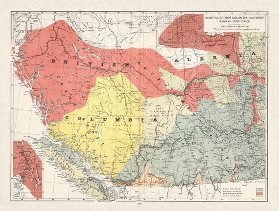
 Canada Department of the Interior, Alberta, British Columbia and Yukon Railway Territories, 1915, on heavy cotton canvas, 22x27" approx.
$41.32
Canada Department of the Interior, Alberta, British Columbia and Yukon Railway Territories, 1915, on heavy cotton canvas, 22x27" approx.
$41.32
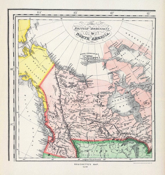 Bouchette's British Dominions in North America (portion), 1831
$41.32
Bouchette's British Dominions in North America (portion), 1831
$41.32
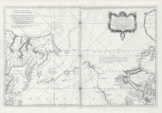 Bellin, L'hydrographie françoise, Pacific NorthWest, 1766, map on heavy cotton canvas, 22x27" approx.
$41.32
Bellin, L'hydrographie françoise, Pacific NorthWest, 1766, map on heavy cotton canvas, 22x27" approx.
$41.32
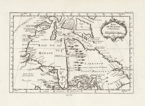 Bellin, Baye De Hudson et Pays Voisins, 1764 , map on heavy cotton canvas, 22x27" approx.
$41.32
Bellin, Baye De Hudson et Pays Voisins, 1764 , map on heavy cotton canvas, 22x27" approx.
$41.32
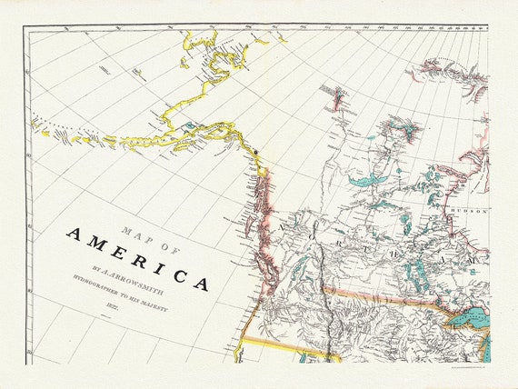 Arrowsmith's America (North West portion), 1824 , map on heavy cotton canvas, 22x27" approx.
$41.32
Arrowsmith's America (North West portion), 1824 , map on heavy cotton canvas, 22x27" approx.
$41.32
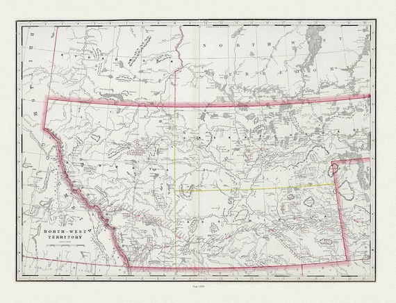 Cram, George Franklin, The North-West Territory, 1889, map on heavy cotton canvas, 22x27" approx.
$41.32
Cram, George Franklin, The North-West Territory, 1889, map on heavy cotton canvas, 22x27" approx.
$41.32
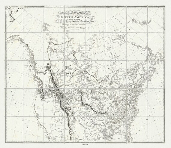 Arrowsmith, New Discoveries in the Interior Parts of North America, 1814, map on heavy cotton canvas, 22x27" approx.
$41.32
Arrowsmith, New Discoveries in the Interior Parts of North America, 1814, map on heavy cotton canvas, 22x27" approx.
$41.32
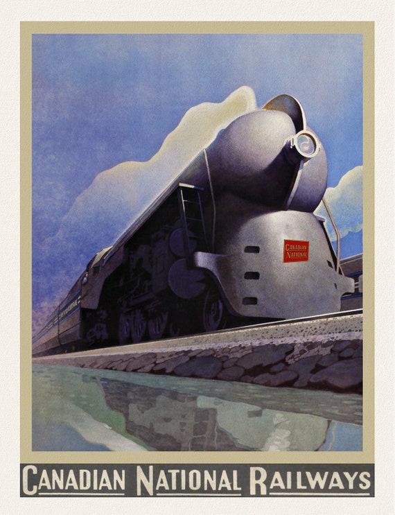 Canadian National, travel poster on heavy cotton canvas, 50 x 70 cm, 20 x 25" approx.
$41.32
Canadian National, travel poster on heavy cotton canvas, 50 x 70 cm, 20 x 25" approx.
$41.32
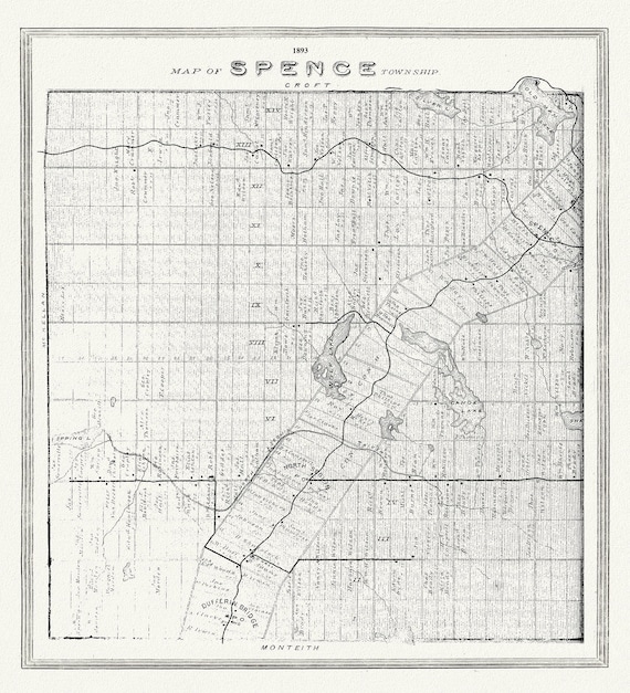 Muskoka-Haliburton, Spence Township, 1893, map on heavy cotton canvas, 20 x 25" approx.
$41.32
Muskoka-Haliburton, Spence Township, 1893, map on heavy cotton canvas, 20 x 25" approx.
$41.32
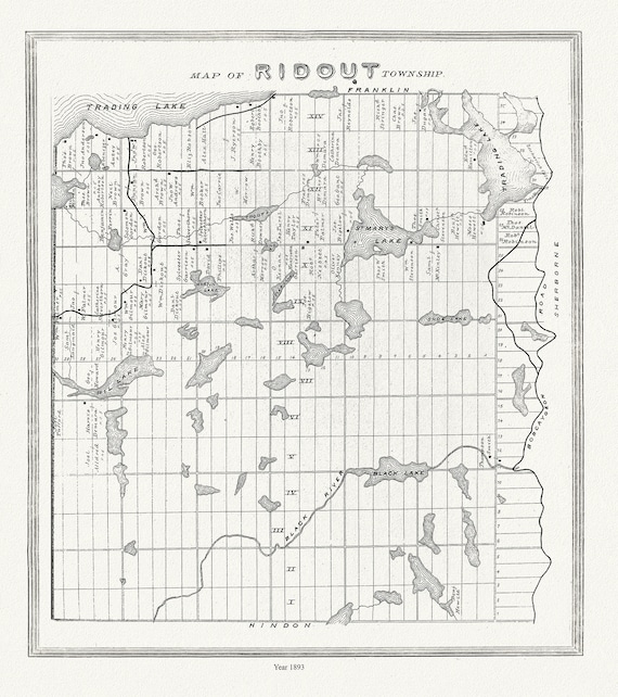 Muskoka-Haliburton, Ridout Township,1893
$41.32
Muskoka-Haliburton, Ridout Township,1893
$41.32
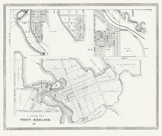 Muskoka-Haliburton, Port Carling, 1893 , map on heavy cotton canvas, 20 x 25" approx.
$41.32
Muskoka-Haliburton, Port Carling, 1893 , map on heavy cotton canvas, 20 x 25" approx.
$41.32
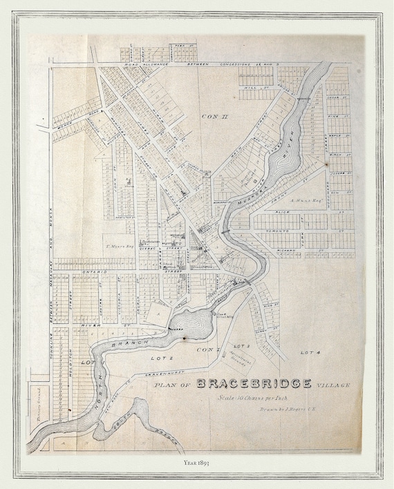 Muskoka-Haliburton, Plan of Bracebridge Village, 1893 , map on heavy cotton canvas, 20 x 25" approx.
$41.32
Muskoka-Haliburton, Plan of Bracebridge Village, 1893 , map on heavy cotton canvas, 20 x 25" approx.
$41.32
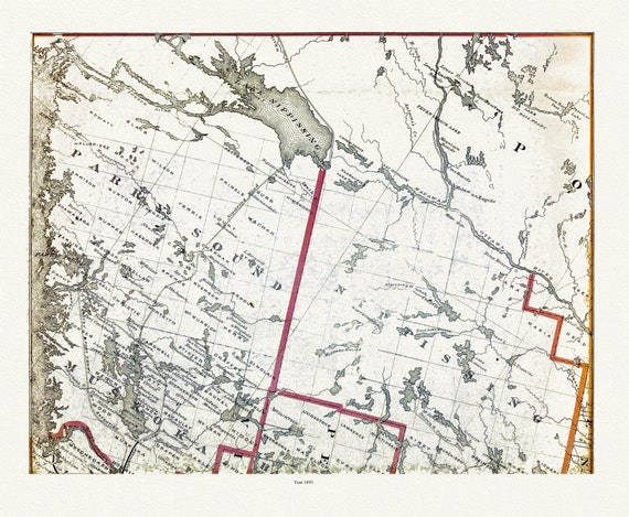 Muskoka-Haliburton, Parry Sound-Nipissing, 1893 , map on heavy cotton canvas, 20 x 25" approx.
$41.32
Muskoka-Haliburton, Parry Sound-Nipissing, 1893 , map on heavy cotton canvas, 20 x 25" approx.
$41.32
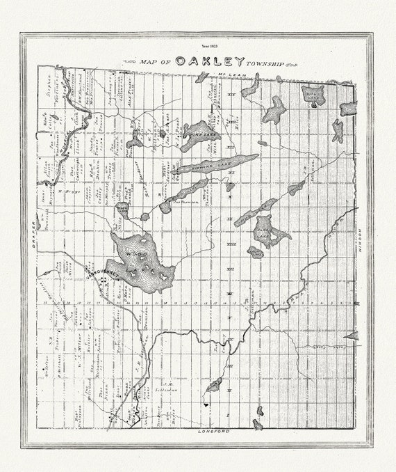 Muskoka-Haliburton, Oakley Township, 1893 , map on heavy cotton canvas, 20 x 25" approx.
$45.07
Muskoka-Haliburton, Oakley Township, 1893 , map on heavy cotton canvas, 20 x 25" approx.
$45.07
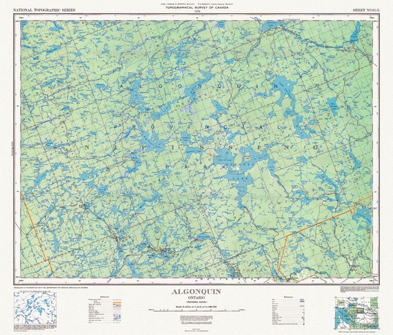 Historic Algonquin Park Map, National Topographic Series, 1934
$41.32
Historic Algonquin Park Map, National Topographic Series, 1934
$41.32
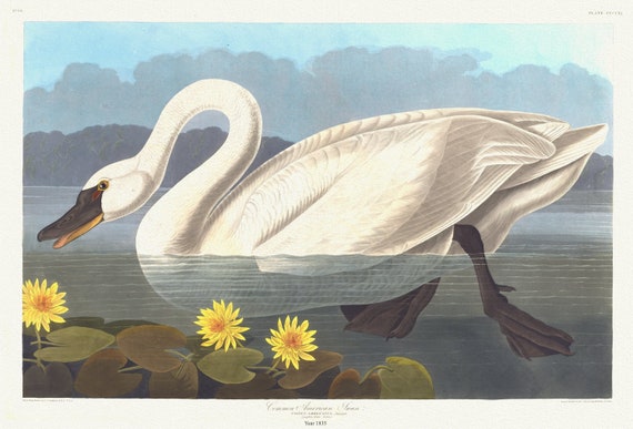 J.J. Audubon, Common American swan. Cygnus americanus, Sharplefs. Nymphea flava, 1835 , print on canvas, 50 x 70 cm, 20 x 25" approx.
$41.32
J.J. Audubon, Common American swan. Cygnus americanus, Sharplefs. Nymphea flava, 1835 , print on canvas, 50 x 70 cm, 20 x 25" approx.
$41.32
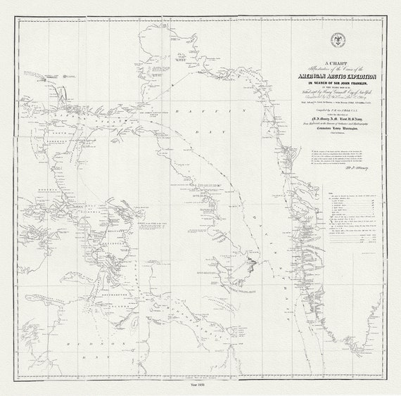 The Franklin Expedition, 1850, map on durable cotton canvas, 50 x 70 cm, 20 x 25" approx.
$41.32
The Franklin Expedition, 1850, map on durable cotton canvas, 50 x 70 cm, 20 x 25" approx.
$41.32
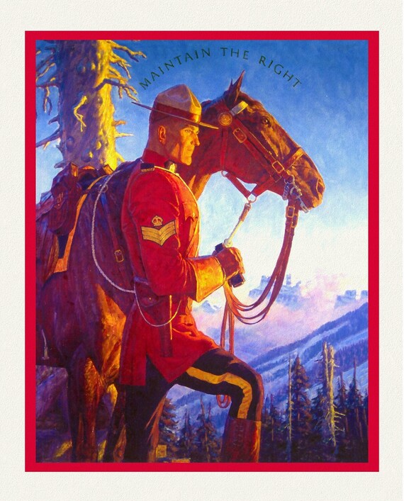 RCMP, Maintain The Right, Ver. VIII, poster on heavy cotton canvas, 50 x 70 cm, 20 x 25" approx.
$41.32
RCMP, Maintain The Right, Ver. VIII, poster on heavy cotton canvas, 50 x 70 cm, 20 x 25" approx.
$41.32
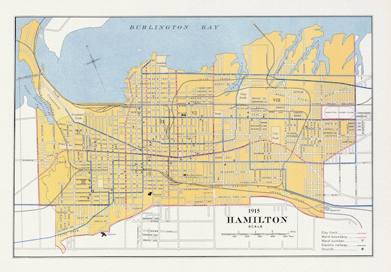 Canada, Department of Interior, Hamilton, 1915, map on heavy cotton canvas, 22x27" approx.
$41.32
Canada, Department of Interior, Hamilton, 1915, map on heavy cotton canvas, 22x27" approx.
$41.32
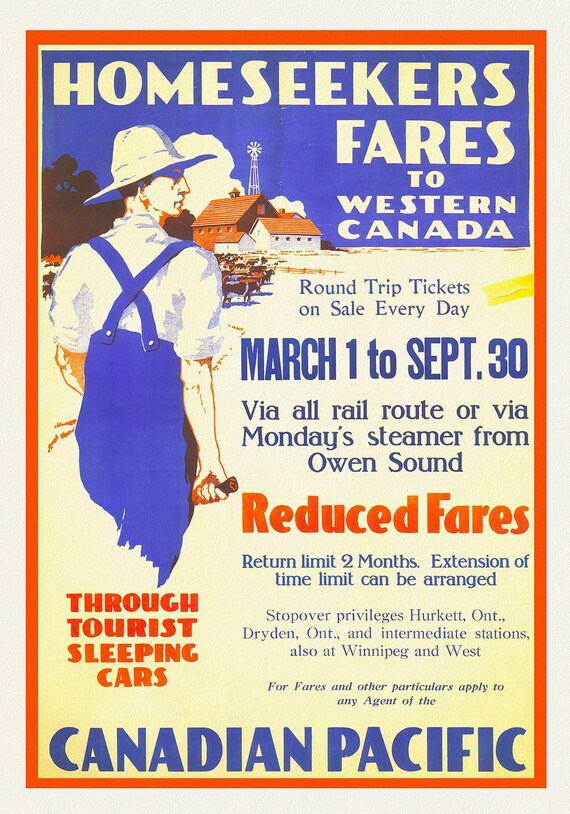 Canadian Pacific, Homeseeker Fares to Western Canada, 1910, travel poster on heavy cotton canvas, 50 x 70 cm, 20 x 25" approx.
$41.32
Canadian Pacific, Homeseeker Fares to Western Canada, 1910, travel poster on heavy cotton canvas, 50 x 70 cm, 20 x 25" approx.
$41.32