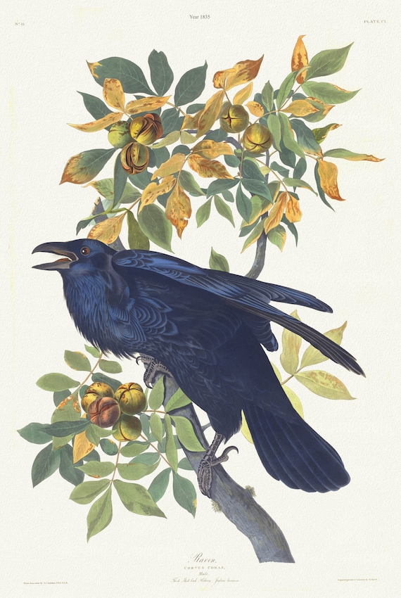
 J.J. Audobon, Raven .Corvus corax. Male.. c.1 v.2 plate 101, 1835 , print on canvas, 50 x 70 cm, 20 x 25" approx.
$45.20
J.J. Audobon, Raven .Corvus corax. Male.. c.1 v.2 plate 101, 1835 , print on canvas, 50 x 70 cm, 20 x 25" approx.
$45.20
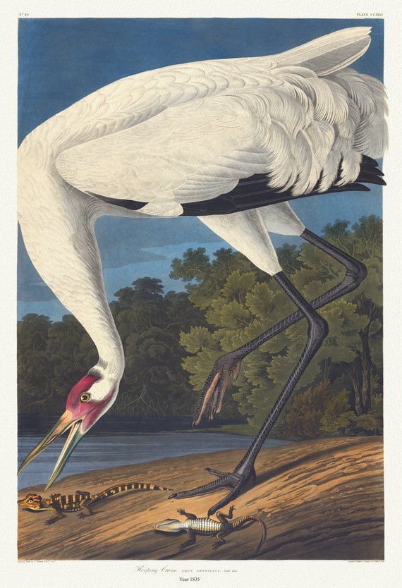 J.J. Audubon, Hooping crane. Grus Americana. Adult male, 1835 , vintage nature print on canvas, 50 x 70 cm, 20 x 25" approx.
$45.20
J.J. Audubon, Hooping crane. Grus Americana. Adult male, 1835 , vintage nature print on canvas, 50 x 70 cm, 20 x 25" approx.
$45.20
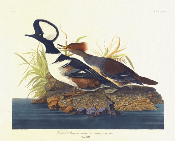 J.J. Audubon, Hooded merganser. Mergus cucullatus. 1. Male 2. Female, 1835, vintage nature print on canvas, 50 x 70 cm, 20 x 25" approx.
$45.20
J.J. Audubon, Hooded merganser. Mergus cucullatus. 1. Male 2. Female, 1835, vintage nature print on canvas, 50 x 70 cm, 20 x 25" approx.
$45.20
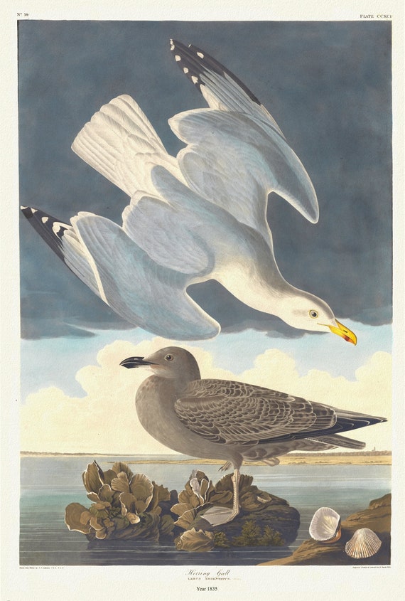 J.J. Audubon, Herring gull. Larus argentatus, Brunn. 1. Adult male spring plumage. 2. Young, 1835, on canvas, 50 x 70 cm, 20 x 25" approx.
$45.20
J.J. Audubon, Herring gull. Larus argentatus, Brunn. 1. Adult male spring plumage. 2. Young, 1835, on canvas, 50 x 70 cm, 20 x 25" approx.
$45.20
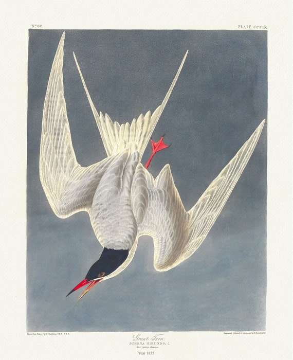 J.J. Audubon, Great tern. Sterna hirundo, L. Male spring plumage, 1835, nature print on canvas, 50 x 70 cm, 20 x 25" approx.
$45.20
J.J. Audubon, Great tern. Sterna hirundo, L. Male spring plumage, 1835, nature print on canvas, 50 x 70 cm, 20 x 25" approx.
$45.20
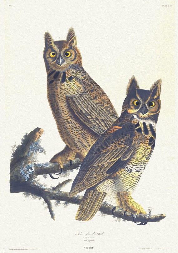 J.J. Audubon, Great horned-owl. Male, 1. F. young, 2. Strix virginiana, 1835, vintage nature print on canvas, 50 x 70 cm, 20 x 25" approx.
$45.20
J.J. Audubon, Great horned-owl. Male, 1. F. young, 2. Strix virginiana, 1835, vintage nature print on canvas, 50 x 70 cm, 20 x 25" approx.
$45.20
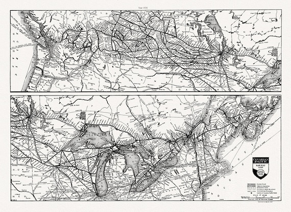 Canadian Pacific Railway, Railway Lines Canada, 1938
$45.20
Canadian Pacific Railway, Railway Lines Canada, 1938
$45.20
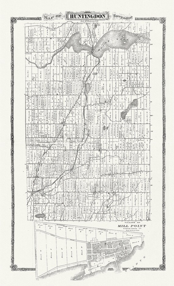 Huntington Township, Hastings County, Ontario, 1880, map on heavy cotton canvas, 45 x 65 cm, 18 x 24" approx.
$45.20
Huntington Township, Hastings County, Ontario, 1880, map on heavy cotton canvas, 45 x 65 cm, 18 x 24" approx.
$45.20
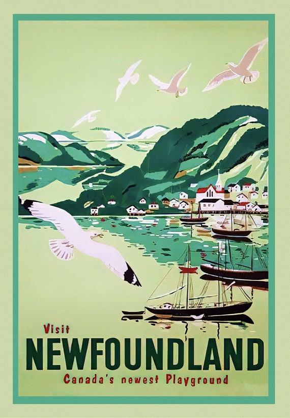 Visit Newfoundland Canada, 1965, Travel Poster on heavy cotton canvas, 22x27" approx.
$45.20
Visit Newfoundland Canada, 1965, Travel Poster on heavy cotton canvas, 22x27" approx.
$45.20
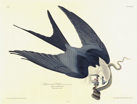 J.J. Audobon, Swallow-tailed hawk. Falco furcatus. c.2 v.1 plate 72 n.1, 1835, print on canvas, 50 x 70 cm, 20 x 25" approx.
$45.20
J.J. Audobon, Swallow-tailed hawk. Falco furcatus. c.2 v.1 plate 72 n.1, 1835, print on canvas, 50 x 70 cm, 20 x 25" approx.
$45.20
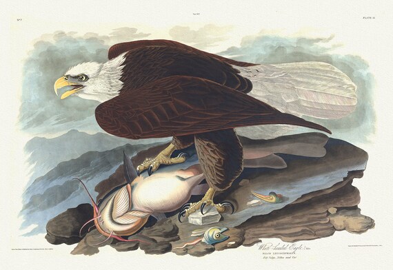 Bald Eagle. Male. Falco leucocephalus. Fish vulgo - yellow mud cat. c.2 v.1 plate 31, print on canvas, 50 x 70 cm, 20 x 25" approx.
$45.20
Bald Eagle. Male. Falco leucocephalus. Fish vulgo - yellow mud cat. c.2 v.1 plate 31, print on canvas, 50 x 70 cm, 20 x 25" approx.
$45.20
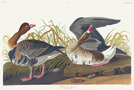 White-fronted goose, Lath. Anser albifrons, Bechst. c.1 v.3 plate 286, vintage nature print on canvas, 50 x 70 cm, 20 x 25" approx.
$45.20
White-fronted goose, Lath. Anser albifrons, Bechst. c.1 v.3 plate 286, vintage nature print on canvas, 50 x 70 cm, 20 x 25" approx.
$45.20
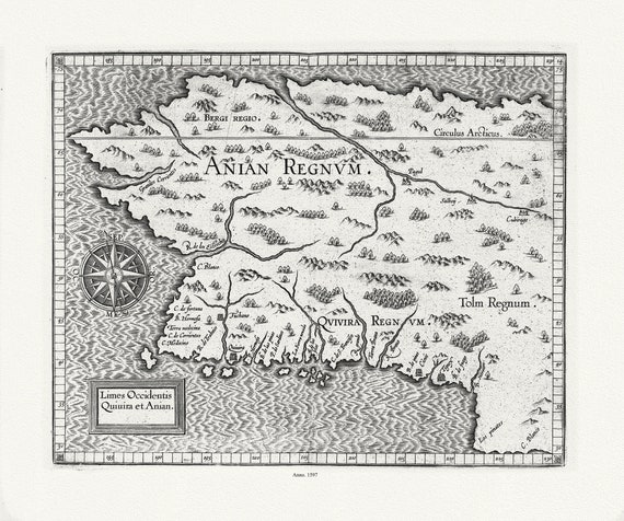 Wytfliet, Corneille, Limes Occidentis Quivira et Anian,( Northern California to Mythical Northwest Passage), 1597E, canvas map, 22x27"
$45.20
Wytfliet, Corneille, Limes Occidentis Quivira et Anian,( Northern California to Mythical Northwest Passage), 1597E, canvas map, 22x27"
$45.20
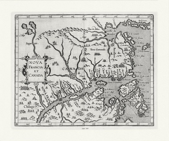 Wytfliet, Corneille, Nova Francia et Canada, 1607 , map on heavy cotton canvas, 22x27" approx.
$45.20
Wytfliet, Corneille, Nova Francia et Canada, 1607 , map on heavy cotton canvas, 22x27" approx.
$45.20
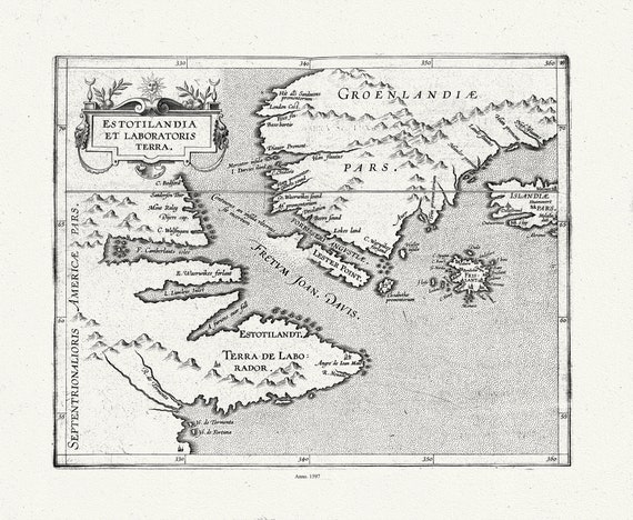 Wytfliet, Corneille, Estotilandia et Laboratoris Terra, ( East Coast Canada), 1597, map on heavy cotton canvas, 22x27" approx.
$45.20
Wytfliet, Corneille, Estotilandia et Laboratoris Terra, ( East Coast Canada), 1597, map on heavy cotton canvas, 22x27" approx.
$45.20
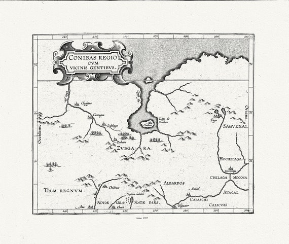 Wytfliet, Corneille, Conibas regio cum vicinis gentibus, (Central Canada), 1597, map on heavy cotton canvas, 22x27" approx.
$45.20
Wytfliet, Corneille, Conibas regio cum vicinis gentibus, (Central Canada), 1597, map on heavy cotton canvas, 22x27" approx.
$45.20
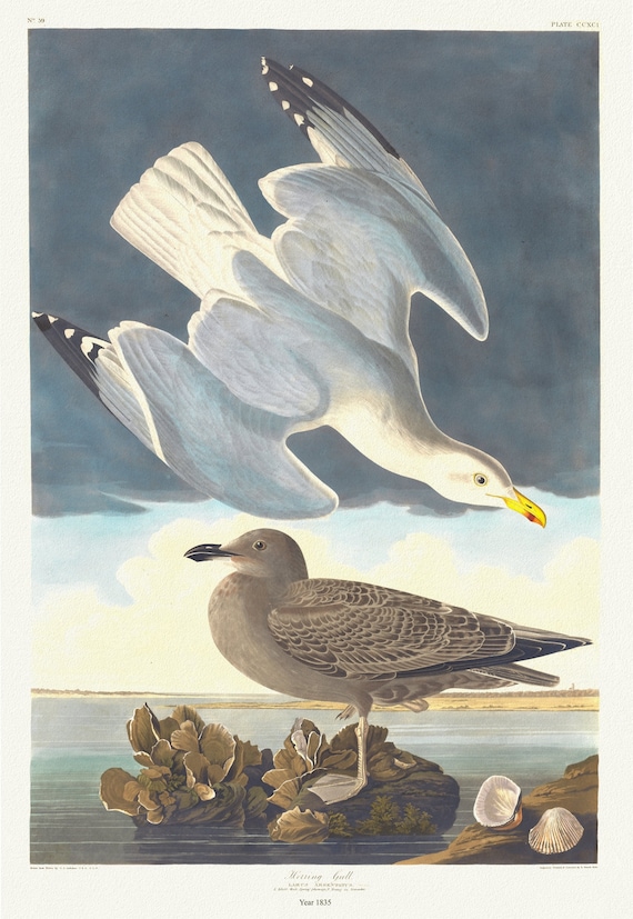 J.J. Audobon, Herring gull. Larus argentatus, c.1 v.3 plate 291, 1835, vintage nature print on canvas, 50 x 70 cm, 20 x 25" approx.
$45.20
J.J. Audobon, Herring gull. Larus argentatus, c.1 v.3 plate 291, 1835, vintage nature print on canvas, 50 x 70 cm, 20 x 25" approx.
$45.20
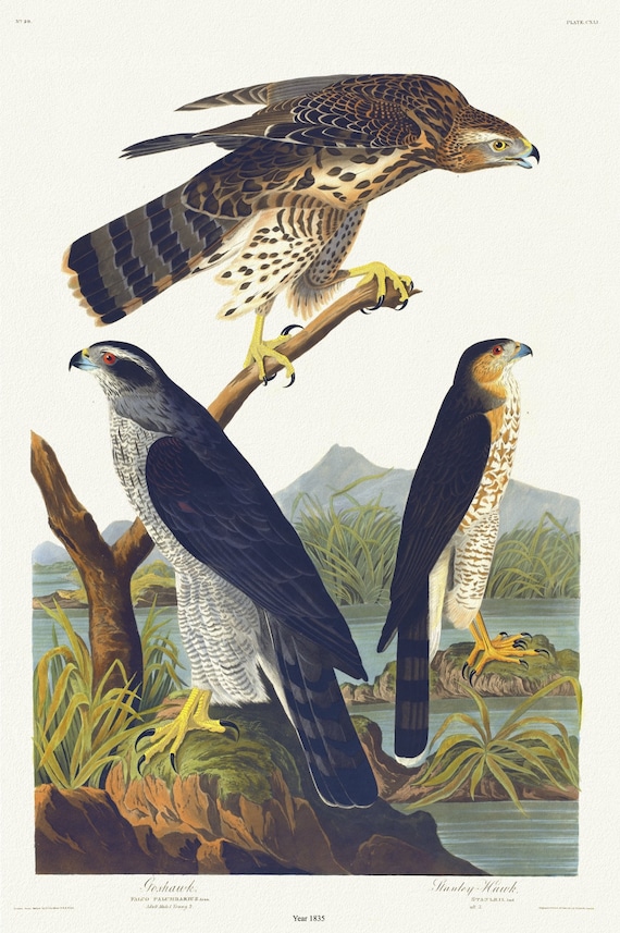 J.J. Audubon, Goshawk, Stanley hawk. Falco palumbarius, Linn. Adult male, 1. Young, 2. Falco stanleii, 1835 , 20 x 25" approx.
$45.20
J.J. Audubon, Goshawk, Stanley hawk. Falco palumbarius, Linn. Adult male, 1. Young, 2. Falco stanleii, 1835 , 20 x 25" approx.
$45.20
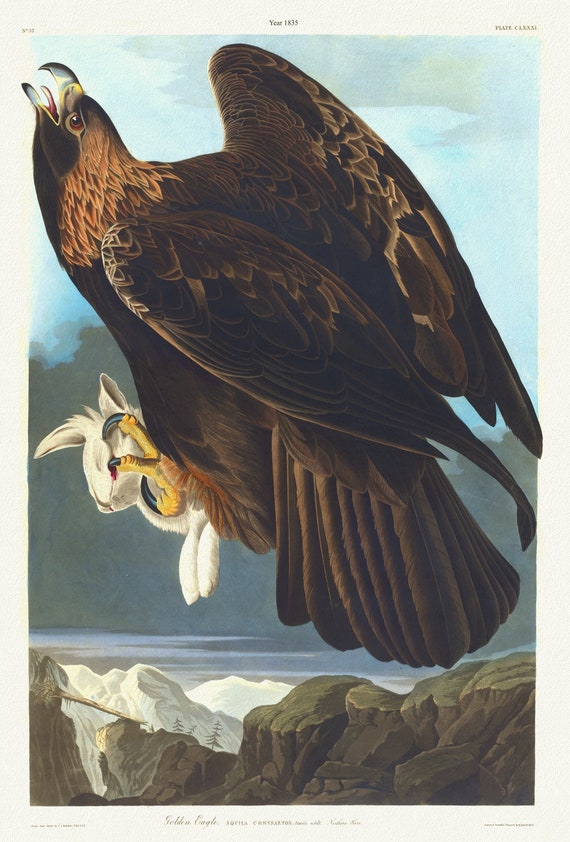 J.J. Audubon, Golden eagle. Aquila chrysaetos. Female adult. Northern hare. 1835, nature print on canvas, 50 x 70 cm, 20 x 25" approx.
$45.20
J.J. Audubon, Golden eagle. Aquila chrysaetos. Female adult. Northern hare. 1835, nature print on canvas, 50 x 70 cm, 20 x 25" approx.
$45.20
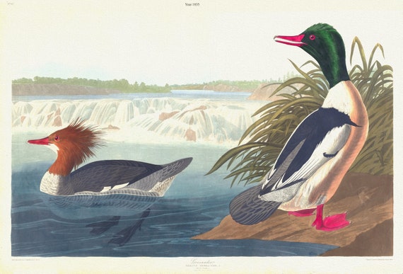 J.J. Audubon, Goosander. Mergus merganser, L. Male, 1. Female, 2. 1835, vintage nature print on canvas, 50 x 70 cm, 20 x 25" approx.
$45.20
J.J. Audubon, Goosander. Mergus merganser, L. Male, 1. Female, 2. 1835, vintage nature print on canvas, 50 x 70 cm, 20 x 25" approx.
$45.20