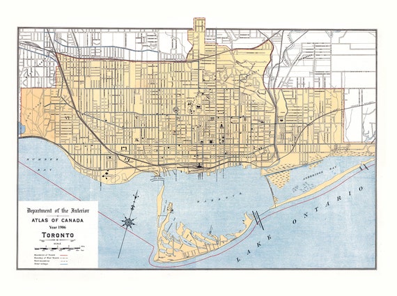
 Toronto: White et Canada Department of Interior, Toronto, 1906
$34.35
Toronto: White et Canada Department of Interior, Toronto, 1906
$34.35
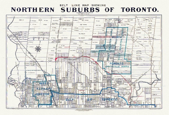 Toronto: Unwin Foster & Proudfoot, Beltline Map of Toronto, 1890
$34.35
Toronto: Unwin Foster & Proudfoot, Beltline Map of Toronto, 1890
$34.35
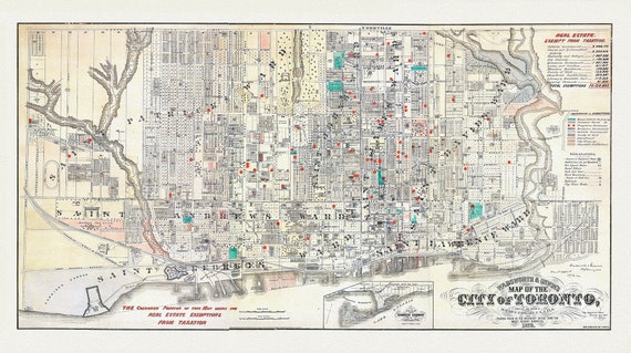 Toronto, Areas Exempt from Real Estate Taxation, 1878, map on heavy cotton canvas, 22x27" approx.
$34.35
Toronto, Areas Exempt from Real Estate Taxation, 1878, map on heavy cotton canvas, 22x27" approx.
$34.35
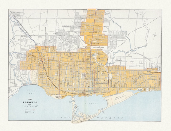 Toronto: Chalifour et Canada Department of the Interior, 1915 , map on heavy cotton canvas, 22x27" approx.
$34.35
Toronto: Chalifour et Canada Department of the Interior, 1915 , map on heavy cotton canvas, 22x27" approx.
$34.35
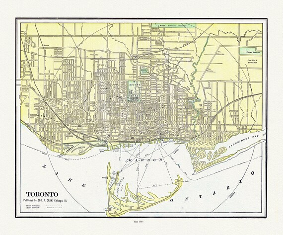 Toronto: Cram et Murray, 1901 , map on heavy cotton canvas, 22x27" approx.
$34.35
Toronto: Cram et Murray, 1901 , map on heavy cotton canvas, 22x27" approx.
$34.35
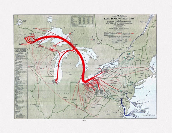 Flow map showing movement of Lake Superior iron ores with locations of consuming furnaces, 1951 , map on heavy cotton canvas, 22x27" approx.
$34.35
Flow map showing movement of Lake Superior iron ores with locations of consuming furnaces, 1951 , map on heavy cotton canvas, 22x27" approx.
$34.35
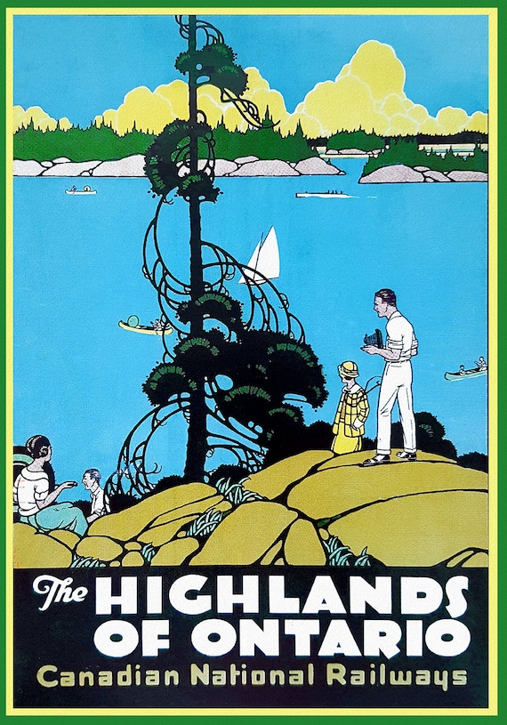 Highlands of Ontario, Travel Poster, Canadian National Railways, on heavy cotton canvas, 22x27" approx.
$34.35
Highlands of Ontario, Travel Poster, Canadian National Railways, on heavy cotton canvas, 22x27" approx.
$34.35
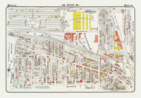 Plate 64, Toronto West, The Junction & Stockyards, 1910 , map on heavy cotton canvas, 20 x 30" approx.
$34.35
Plate 64, Toronto West, The Junction & Stockyards, 1910 , map on heavy cotton canvas, 20 x 30" approx.
$34.35
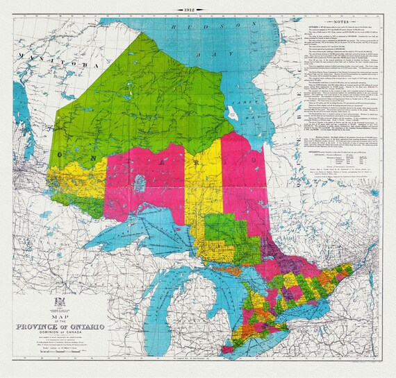 Map of the Province of Ontario, Dominion of Canada, 1912, map on heavy cotton canvas, 22x27" approx.
$34.35
Map of the Province of Ontario, Dominion of Canada, 1912, map on heavy cotton canvas, 22x27" approx.
$34.35
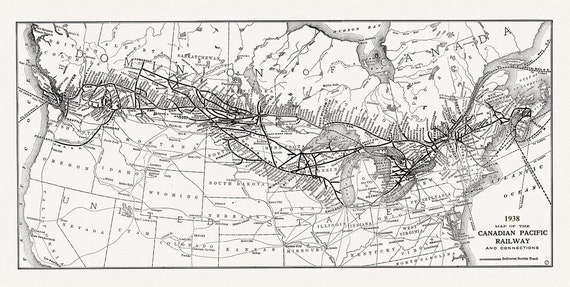 Canadian Pacific Railway & Connections, 1938 , vintage map reprinted on durable cotton canvas, 50 x 70 cm or 20x25" approx.
$34.35
Canadian Pacific Railway & Connections, 1938 , vintage map reprinted on durable cotton canvas, 50 x 70 cm or 20x25" approx.
$34.35
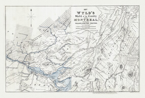 Wyld, A Sketch Map of the Country Around Montreal, 1837, , map on heavy cotton canvas, 20x27" approx
$34.35
Wyld, A Sketch Map of the Country Around Montreal, 1837, , map on heavy cotton canvas, 20x27" approx
$34.35
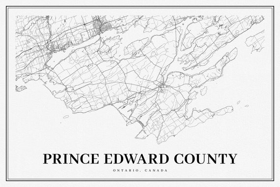 Ontario, Prince Edward County, A Modern Map, map on heavy cotton canvas, 50 x 70cm, 20 x 25" approx.
$34.35
Ontario, Prince Edward County, A Modern Map, map on heavy cotton canvas, 50 x 70cm, 20 x 25" approx.
$34.35
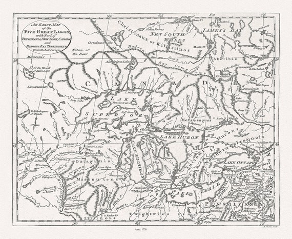 The Great Lakes, Lodge, 1778, map on durable cotton canvas, 50 x 70 cm, 20 x 25" approx.
$34.35
The Great Lakes, Lodge, 1778, map on durable cotton canvas, 50 x 70 cm, 20 x 25" approx.
$34.35
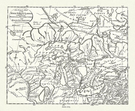 The 5 Great Lakes, Pincus auth.,1777, map on durable cotton canvas, 50 x 70 cm, 20 x 25" approx.
$34.35
The 5 Great Lakes, Pincus auth.,1777, map on durable cotton canvas, 50 x 70 cm, 20 x 25" approx.
$34.35
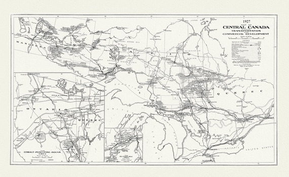 Map of Central Canada Showing Transportation and Commercial Development, 1927, map on durable cotton canvas, 50 x 70 cm, 20 x 25" approx.
$34.35
Map of Central Canada Showing Transportation and Commercial Development, 1927, map on durable cotton canvas, 50 x 70 cm, 20 x 25" approx.
$34.35
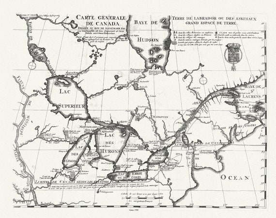 Carte Générale de Canada, Lahontan auth.,1703, map on durable cotton canvas, 50 x 70 cm, 20 x 25" approx.
$34.35
Carte Générale de Canada, Lahontan auth.,1703, map on durable cotton canvas, 50 x 70 cm, 20 x 25" approx.
$34.35
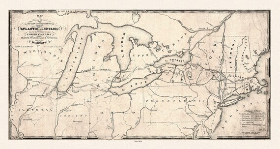 Map showing the most direct commercial route from the Atlantic, 1836 Ver. II, Price auth., on canvas, 50 x 70 cm, 20 x 25" approx.
$34.35
Map showing the most direct commercial route from the Atlantic, 1836 Ver. II, Price auth., on canvas, 50 x 70 cm, 20 x 25" approx.
$34.35
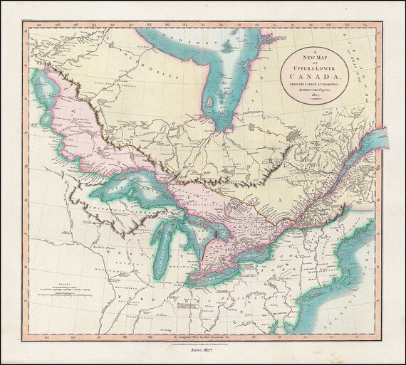 A New Map of Upper & Lower Canada, From the Latest Authorities, 1807, John Cary auth., cotton canvas, 50 x 70 cm, 20 x 25" approx.
$34.35
A New Map of Upper & Lower Canada, From the Latest Authorities, 1807, John Cary auth., cotton canvas, 50 x 70 cm, 20 x 25" approx.
$34.35
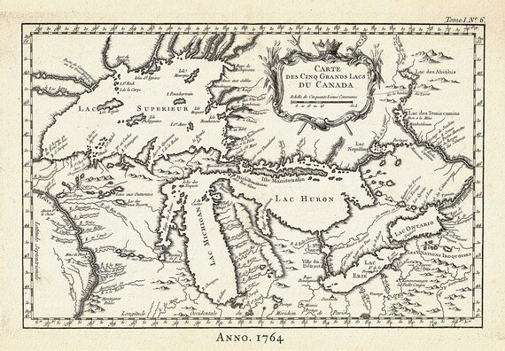 Carte des Cinq Grand Lacs du Canada, Bellin auth.,1764 Ver. II, map on durable cotton canvas, 50 x 70 cm, 20 x 25" approx.
$34.35
Carte des Cinq Grand Lacs du Canada, Bellin auth.,1764 Ver. II, map on durable cotton canvas, 50 x 70 cm, 20 x 25" approx.
$34.35
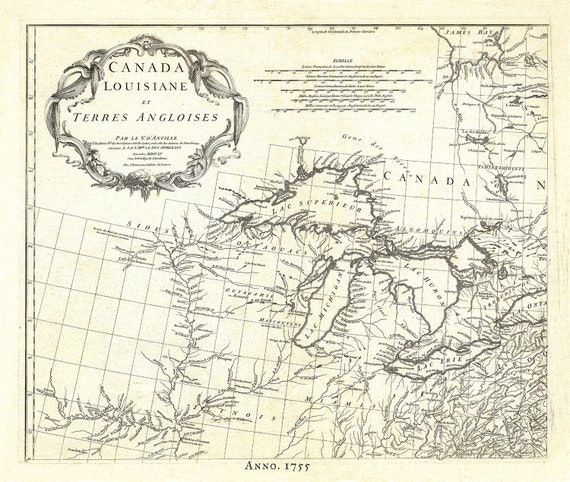 Canada, Louisiane et Terres Angloises, 1755, map on durable cotton canvas, 50 x 70 cm, 20 x 25" approx.
$34.35
Canada, Louisiane et Terres Angloises, 1755, map on durable cotton canvas, 50 x 70 cm, 20 x 25" approx.
$34.35